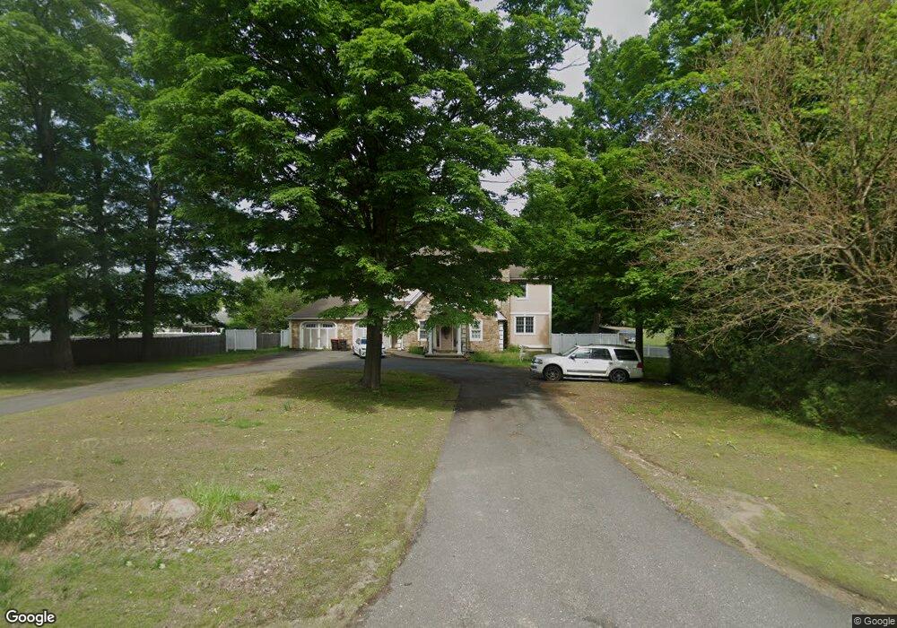
544 N Westfield St Feeding Hills, MA 01030
Estimated Value: $977,000 - $1,192,000
5
Beds
4
Baths
6,152
Sq Ft
$172/Sq Ft
Est. Value
About This Home
This home is located at 544 N Westfield St, Feeding Hills, MA 01030 and is currently estimated at $1,059,287, approximately $172 per square foot. 544 N Westfield St is a home located in Hampden County with nearby schools including Agawam Junior High School, Agawam High School, and St Thomas The Apostle School.
Ownership History
Date
Name
Owned For
Owner Type
Purchase Details
Closed on
Jul 20, 2006
Sold by
Scuderi Alvera A
Bought by
Scuderi Angelo J
Current Estimated Value
Purchase Details
Closed on
Sep 18, 1997
Sold by
Scuderi Angelo J
Bought by
Scuderi Carmelo J
Create a Home Valuation Report for This Property
The Home Valuation Report is an in-depth analysis detailing your home's value as well as a comparison with similar homes in the area
Home Values in the Area
Average Home Value in this Area
Purchase History
| Date | Buyer | Sale Price | Title Company |
|---|---|---|---|
| Scuderi Angelo J | -- | -- | |
| Scuderi Carmelo J | $40,000 | -- |
Source: Public Records
Mortgage History
| Date | Status | Borrower | Loan Amount |
|---|---|---|---|
| Open | Scuderi Carmelo J | $620,000 | |
| Previous Owner | Scuderi Carmelo J | $132,000 |
Source: Public Records
Tax History Compared to Growth
Tax History
| Year | Tax Paid | Tax Assessment Tax Assessment Total Assessment is a certain percentage of the fair market value that is determined by local assessors to be the total taxable value of land and additions on the property. | Land | Improvement |
|---|---|---|---|---|
| 2025 | $14,741 | $1,006,900 | $139,000 | $867,900 |
| 2024 | $14,203 | $976,800 | $139,000 | $837,800 |
| 2023 | $14,854 | $941,300 | $118,900 | $822,400 |
| 2022 | $13,809 | $857,200 | $118,900 | $738,300 |
| 2021 | $13,297 | $791,500 | $103,500 | $688,000 |
| 2020 | $12,941 | $768,900 | $101,400 | $667,500 |
| 2019 | $12,451 | $747,800 | $98,500 | $649,300 |
| 2018 | $11,632 | $700,300 | $87,800 | $612,500 |
| 2017 | $10,982 | $673,300 | $87,800 | $585,500 |
| 2016 | $10,266 | $634,500 | $87,800 | $546,700 |
| 2015 | $9,704 | $616,500 | $87,800 | $528,700 |
Source: Public Records
Map
Nearby Homes
- 22 Beech Hill Rd
- 8 Ridgeview Dr
- 154 Forest Hill Rd
- 1085 N Street Extension
- 60 Elizabeth St
- 92 Juniper Ridge Dr
- 27 Liswell Dr
- 719 N West St
- 157 Cambridge St
- 200 Anvil St
- 123 Belknap Ave
- 258 Poplar Ave
- 14 Granger Dr
- lot A North St
- 148 Craiwell Ave
- 94 Witheridge St
- 67 Colemore St
- 17 Jeanne Marie Dr
- 122 Southwick St
- 92 Highland St
- 536 N Westfield St
- 18 Robin Ridge Dr
- 8 Robin Ridge Dr
- 28 Robin Ridge Dr
- 6 Robin Ridge Dr
- 526 N Westfield St
- 38 Robin Ridge Dr
- Lot 3 Robin Ridge Extension
- 0 Robin Ridge Dr Unit 71177724
- 15 Robin Ridge Dr
- 535 N Westfield St
- 25 Robin Ridge Dr
- 5 Robin Ridge Dr
- 549 N Westfield St
- 523 No Westfield St
- 48 Robin Ridge Dr
- 39 Robin Ridge Dr
- 523 N Westfield St
- 18 Fox Farm Rd
- 34 Oriole Dr