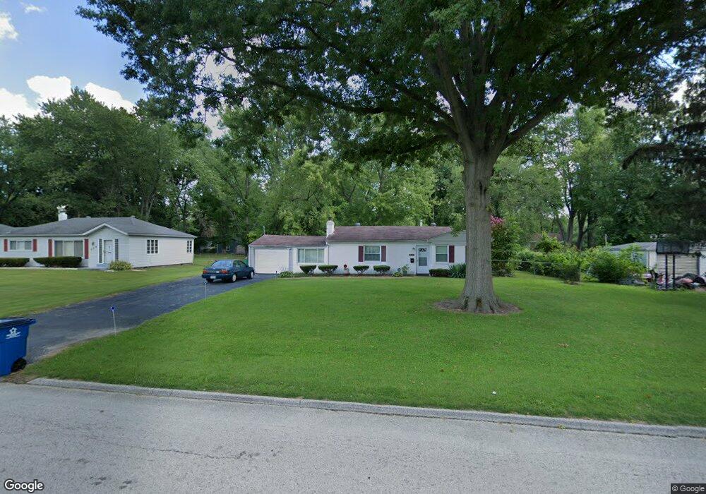
544 Thurston Ave Saint Louis, MO 63134
Estimated Value: $94,829 - $132,000
2
Beds
1
Bath
1,314
Sq Ft
$89/Sq Ft
Est. Value
About This Home
This home is located at 544 Thurston Ave, Saint Louis, MO 63134 and is currently estimated at $116,707, approximately $88 per square foot. 544 Thurston Ave is a home located in St. Louis County with nearby schools including Ferguson Middle School, Johnson Wabash Elementary School, and McCluer High School.
Ownership History
Date
Name
Owned For
Owner Type
Purchase Details
Closed on
Nov 8, 2001
Sold by
Sanner Jon and Sanner Karen Speiser
Bought by
Sanner Jon and Sanner Karen Speiser
Current Estimated Value
Purchase Details
Closed on
Jun 30, 1999
Sold by
Henderson Henry L and Henderson Patricia
Bought by
Harris Sandra E
Home Financials for this Owner
Home Financials are based on the most recent Mortgage that was taken out on this home.
Original Mortgage
$38,400
Interest Rate
7.21%
Create a Home Valuation Report for This Property
The Home Valuation Report is an in-depth analysis detailing your home's value as well as a comparison with similar homes in the area
Home Values in the Area
Average Home Value in this Area
Purchase History
| Date | Buyer | Sale Price | Title Company |
|---|---|---|---|
| Sanner Jon | -- | -- | |
| Harris Sandra E | $48,000 | -- |
Source: Public Records
Mortgage History
| Date | Status | Borrower | Loan Amount |
|---|---|---|---|
| Closed | Harris Sandra E | $38,400 |
Source: Public Records
Tax History Compared to Growth
Tax History
| Year | Tax Paid | Tax Assessment Tax Assessment Total Assessment is a certain percentage of the fair market value that is determined by local assessors to be the total taxable value of land and additions on the property. | Land | Improvement |
|---|---|---|---|---|
| 2025 | $1,214 | $21,280 | $2,340 | $18,940 |
| 2024 | $1,214 | $16,640 | $1,860 | $14,780 |
| 2023 | $1,207 | $16,640 | $1,860 | $14,780 |
| 2022 | $920 | $10,970 | $1,410 | $9,560 |
| 2021 | $891 | $10,970 | $1,410 | $9,560 |
| 2020 | $934 | $10,360 | $2,000 | $8,360 |
| 2019 | $917 | $10,360 | $2,000 | $8,360 |
| 2018 | $811 | $8,140 | $1,810 | $6,330 |
| 2017 | $795 | $8,140 | $1,810 | $6,330 |
| 2016 | $962 | $9,750 | $2,190 | $7,560 |
| 2015 | $968 | $9,750 | $2,190 | $7,560 |
| 2014 | $862 | $8,550 | $2,360 | $6,190 |
Source: Public Records
Map
Nearby Homes
- 6612 Torlina Dr
- 6717 Thurston Ave
- 222 Wooster Dr
- 8027 Aline Ave
- 324 Newell Dr
- 6605 Carol Lee Dr
- 8219 Davenport Dr
- 614 January Ave
- 8140 Packard Ave
- 8 Buckeye Dr
- 8042 Patterson Dr
- 213 Henquin Dr
- 18 White Dr
- 439 Warford Ave
- 16 White Dr
- 135 Grether Ave
- 116 Grether Ave
- 8293 Frost Ave
- 415 Warford Ave
- 110 Young Dr
- 540 Thurston Ave
- 548 Thurston Ave
- 545 Ford Dr
- 549 Ford Dr
- 541 Ford Dr
- 552 Thurston Ave
- 545 Thurston Ave
- 551 Thurston Ave
- 539 Thurston Ave
- 553 Ford Dr
- 537 Ford Dr
- 557 Thurston Ave
- 533 Thurston Ave
- 532 Thurston Ave
- 563 Thurston Ave
- 527 Thurston Ave
- 1014 Wooster Dr
- 533 Ford Dr
- 1008 Wooster Dr
- 544 Ford Dr