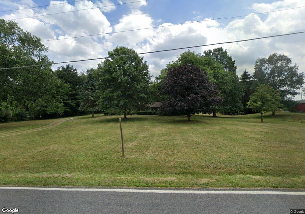
5440 Meese Rd Louisville, OH 44641
Estimated Value: $297,204 - $519,000
3
Beds
2
Baths
1,602
Sq Ft
$248/Sq Ft
Est. Value
About This Home
This home is located at 5440 Meese Rd, Louisville, OH 44641 and is currently estimated at $397,735, approximately $248 per square foot. 5440 Meese Rd is a home located in Stark County with nearby schools including Louisville High School and St. Thomas Aquinas High School & Middle School.
Ownership History
Date
Name
Owned For
Owner Type
Purchase Details
Closed on
Jul 15, 2025
Sold by
Smallwood Joseph J
Bought by
Mickley Daryl and Mickley Jessycar A
Current Estimated Value
Home Financials for this Owner
Home Financials are based on the most recent Mortgage that was taken out on this home.
Original Mortgage
$318,750
Outstanding Balance
$318,200
Interest Rate
6.75%
Mortgage Type
New Conventional
Estimated Equity
$79,535
Purchase Details
Closed on
Jun 27, 2014
Sold by
Morgan Kathy L and Smallwood Linda L
Bought by
Smallwood Joseph J and Smallwood Linda L
Home Financials for this Owner
Home Financials are based on the most recent Mortgage that was taken out on this home.
Original Mortgage
$77,918
Interest Rate
4.3%
Mortgage Type
New Conventional
Purchase Details
Closed on
Feb 26, 2004
Sold by
Seefong Harold L and Seefong Opal B
Bought by
Seefong Harold L and Harold L Seefong Revocable Living Trust
Purchase Details
Closed on
Feb 21, 2000
Sold by
Seefong Harold L
Bought by
Seefong Harold L and Seefong Opal B
Purchase Details
Closed on
Oct 27, 1992
Create a Home Valuation Report for This Property
The Home Valuation Report is an in-depth analysis detailing your home's value as well as a comparison with similar homes in the area
Home Values in the Area
Average Home Value in this Area
Purchase History
| Date | Buyer | Sale Price | Title Company |
|---|---|---|---|
| Mickley Daryl | $375,000 | None Listed On Document | |
| Smallwood Joseph J | $59,000 | Heritage Union Title Co Ltd | |
| The Harold L And Opal B Seefong Irrevoca | -- | None Available | |
| Seemong Harold L | -- | None Available | |
| Seefong Harold L | -- | -- | |
| Seefong Harold L | -- | -- | |
| -- | -- | -- |
Source: Public Records
Mortgage History
| Date | Status | Borrower | Loan Amount |
|---|---|---|---|
| Open | Mickley Daryl | $318,750 | |
| Previous Owner | Smallwood Joseph J | $77,918 |
Source: Public Records
Tax History Compared to Growth
Tax History
| Year | Tax Paid | Tax Assessment Tax Assessment Total Assessment is a certain percentage of the fair market value that is determined by local assessors to be the total taxable value of land and additions on the property. | Land | Improvement |
|---|---|---|---|---|
| 2025 | -- | $85,125 | $28,875 | $56,250 |
| 2024 | -- | $85,125 | $28,875 | $56,250 |
| 2023 | $2,483 | $71,795 | $26,465 | $45,330 |
| 2022 | $2,510 | $60,070 | $14,740 | $45,330 |
| 2021 | $2,517 | $60,070 | $14,740 | $45,330 |
| 2020 | $2,136 | $54,750 | $13,970 | $40,780 |
| 2019 | $2,139 | $54,760 | $13,980 | $40,780 |
| 2018 | $2,133 | $54,760 | $13,980 | $40,780 |
| 2017 | $1,946 | $48,850 | $13,630 | $35,220 |
| 2016 | $2,737 | $56,160 | $13,630 | $42,530 |
| 2015 | $2,745 | $56,160 | $13,630 | $42,530 |
| 2014 | $769 | $52,550 | $11,320 | $41,230 |
| 2013 | $1,392 | $52,550 | $11,320 | $41,230 |
Source: Public Records
Map
Nearby Homes
- 5495 Meese Rd NE
- 6052 N Nickelplate St
- 2015 E Main St
- 203 Brookfield St
- 5765 Maplegrove St
- 0 Michigan Blvd
- 1170 Winding Ridge Ave
- 910 Crosswyck Cir
- 1812 E Broad St
- 1715 High St
- 316 E Reno Dr
- 308 Superior St
- 5474 Ravenna Ave
- 2110 Edmar St
- 325 Lincoln Ave
- 641 S Nickelplate St
- 428 Honeycrisp Dr NE
- 3047 Mcintosh Dr NE
- 432 Honeycrisp Dr NE
- 2962 Mcintosh Dr NE
- 5460 Meese Rd
- 5431 Meese Rd NE
- 5363 Eshelman St
- 5432 Meese Rd NE
- 5327 Eshelman St
- 5321 Eshelman St
- 5275 Eshelman St
- 5473 Meese Rd NE
- 5340 Meese Rd
- 5435 Meese Rd
- 5270 Meese Rd
- 5213 Eshelman St
- 5449 Meese Rd NE
- 5449 Meese Rd NE
- 5405 Meese Rd NE
- 5202 Meese Rd
- 5345 Meese Rd
- 5490 Meese Rd NE
- 5190 Meese Rd
- 5295 Meese Rd