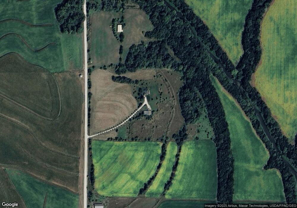
54689 295th St Silver City, IA 51571
Estimated Value: $198,000 - $515,134
5
Beds
3
Baths
1,369
Sq Ft
$278/Sq Ft
Est. Value
About This Home
This home is located at 54689 295th St, Silver City, IA 51571 and is currently estimated at $380,045, approximately $277 per square foot. 54689 295th St is a home located in Mills County with nearby schools including East Mills Elementary School and East Mills Jr. Sr. High School.
Ownership History
Date
Name
Owned For
Owner Type
Purchase Details
Closed on
Nov 27, 2010
Sold by
Andersen Kirk E and Andersen Susan L
Bought by
Anderson Peter C and Anderson Amanda J
Current Estimated Value
Home Financials for this Owner
Home Financials are based on the most recent Mortgage that was taken out on this home.
Original Mortgage
$83,240
Interest Rate
5.5%
Mortgage Type
Future Advance Clause Open End Mortgage
Create a Home Valuation Report for This Property
The Home Valuation Report is an in-depth analysis detailing your home's value as well as a comparison with similar homes in the area
Home Values in the Area
Average Home Value in this Area
Purchase History
| Date | Buyer | Sale Price | Title Company |
|---|---|---|---|
| Anderson Peter C | $104,500 | -- |
Source: Public Records
Mortgage History
| Date | Status | Borrower | Loan Amount |
|---|---|---|---|
| Closed | Anderson Peter C | $83,240 |
Source: Public Records
Tax History Compared to Growth
Tax History
| Year | Tax Paid | Tax Assessment Tax Assessment Total Assessment is a certain percentage of the fair market value that is determined by local assessors to be the total taxable value of land and additions on the property. | Land | Improvement |
|---|---|---|---|---|
| 2025 | $4,682 | $403,235 | $45,734 | $357,501 |
| 2024 | $4,682 | $374,616 | $37,227 | $337,389 |
| 2023 | $4,528 | $390,030 | $37,227 | $352,803 |
| 2022 | $4,306 | $298,201 | $25,684 | $272,517 |
| 2021 | $3,698 | $301,470 | $28,953 | $272,517 |
| 2020 | $3,698 | $279,774 | $30,401 | $249,373 |
| 2019 | $3,284 | $259,251 | $0 | $0 |
| 2018 | $3,382 | $259,251 | $0 | $0 |
| 2017 | $3,306 | $261,617 | $0 | $0 |
| 2016 | $3,016 | $261,617 | $0 | $0 |
| 2015 | $3,028 | $260,076 | $0 | $0 |
| 2014 | $3,198 | $260,076 | $0 | $0 |
Source: Public Records
Map
Nearby Homes
- 115 Oak St
- 403 Maple St
- 52971 Dew Berry Ln
- 27570 Dobney Ave
- 27710 Dobney Ave
- 27828 Dobney Ave Unit Lot 6
- 52941 Dew Berry Ln
- 52970 Dew Berry Ln
- 27822 Dobney Ave
- 52940 Dew Berry Ln
- 27924 Coffee Tree Ln
- 27815 Coffee Tree Ln
- 27704 Dobney Ave
- 27820 Coffee Tree Ln
- 27576 Dobney Ave
- 27723 Coffee Tree Ln
- 27640 Coffee Tree Ln
- 52937 275th St
- 52931 275th St
- 40 ACRES 305th St