54813 Us Highway 275 Norfolk, NE 68701
Estimated Value: $290,000 - $475,000
2
Beds
3
Baths
1,804
Sq Ft
$212/Sq Ft
Est. Value
About This Home
This home is located at 54813 Us Highway 275, Norfolk, NE 68701 and is currently estimated at $383,307, approximately $212 per square foot. 54813 Us Highway 275 is a home located in Madison County with nearby schools including Battle Creek Elementary School and Battle Creek High School.
Ownership History
Date
Name
Owned For
Owner Type
Purchase Details
Closed on
Jul 3, 2018
Sold by
Ulbert Monte R and Ulbert Nancy C
Bought by
Brozek Kelven M and Brozek Nancy J
Current Estimated Value
Purchase Details
Closed on
Mar 10, 2005
Sold by
Ulbert Monte R and Ulbert Nancy C
Bought by
Ulbert Monte R and Ulbert Nancy C
Purchase Details
Closed on
Jan 20, 2001
Sold by
Ulbert Helen
Bought by
Ulbert Monte R and Ulbert Nancy C
Purchase Details
Closed on
Dec 28, 2000
Sold by
Ulbert Helen
Bought by
Ulbert Helen
Create a Home Valuation Report for This Property
The Home Valuation Report is an in-depth analysis detailing your home's value as well as a comparison with similar homes in the area
Home Values in the Area
Average Home Value in this Area
Purchase History
| Date | Buyer | Sale Price | Title Company |
|---|---|---|---|
| Brozek Kelven M | $370,000 | Madison County Abstract | |
| Ulbert Monte R | $560 | -- | |
| Ulbert Monte R | $80,000 | -- | |
| Ulbert Helen | -- | -- |
Source: Public Records
Tax History Compared to Growth
Tax History
| Year | Tax Paid | Tax Assessment Tax Assessment Total Assessment is a certain percentage of the fair market value that is determined by local assessors to be the total taxable value of land and additions on the property. | Land | Improvement |
|---|---|---|---|---|
| 2024 | $2,770 | $319,664 | $141,622 | $178,042 |
| 2023 | $3,926 | $287,384 | $127,327 | $160,057 |
| 2022 | $3,691 | $270,109 | $122,427 | $147,682 |
| 2021 | $3,127 | $235,480 | $102,427 | $133,053 |
| 2020 | $3,097 | $235,480 | $102,427 | $133,053 |
| 2019 | $3,015 | $230,896 | $106,937 | $123,959 |
| 2018 | $2,668 | $217,665 | $106,937 | $110,728 |
| 2017 | $2,595 | $208,664 | $106,547 | $102,117 |
| 2016 | $2,501 | $190,764 | $96,547 | $94,217 |
| 2015 | $2,478 | $190,764 | $96,547 | $94,217 |
| 2014 | $2,438 | $173,516 | $86,547 | $86,969 |
| 2013 | $2,751 | $167,361 | $80,392 | $86,969 |
Source: Public Records
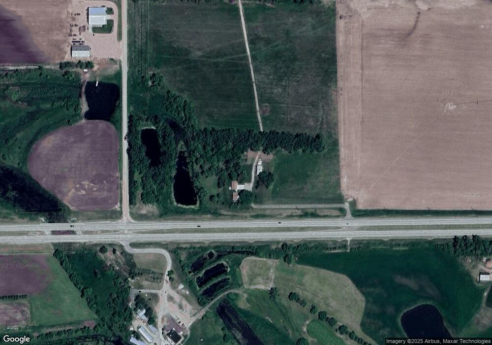
Map
Nearby Homes
- 401 E Hale St
- 304 E Herman St
- 303 S Boyer St
- 103 N 4th St
- 101 N 4th St
- 202 Highland Dr
- 4801 N Deer Run Dr
- 2711 N 47th Cir
- 2811 N 47th Cir
- 2610 N 47th Cir
- 2710 N 47th Cir
- 2511 N 45th St
- 3900 Madison Ave
- 5105 W Sherwood Rd
- 3605 MacH I Dr
- 3603 MacH I Dr
- 3506 Bradford Ave
- 3507 Bradford Ave
- 3407 Bradford Ave
- 3406 Bradford Ave
- 54813 Us Highway 275
- 84240 548th Ave
- 54844 W Hwy 275
- 54850 Us Highway 275
- 54750 Us Highway 275
- 54750 Us Highway 275
- 54750 Us Highway 275
- 54841 Half Mile Rd
- 54749 Half Mile Rd
- 84259 548th Ave
- 84151 549th Ave
- 54748 Us Highway 275
- 54889 Us Highway 275
- 54754 Us Highway 275
- 54754 Us Highway 275
- 84216 549th Ave
- 84276 548th Ave
- 54765 841st Rd
- 84176 549th Ave
- 84161 549th Ave