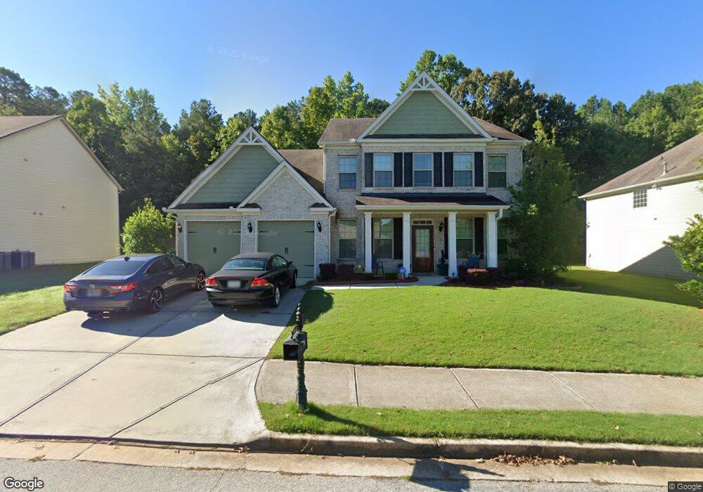
5484 Jamerson Dr Unit 211 Atlanta, GA 30349
Estimated Value: $472,217 - $568,000
5
Beds
5
Baths
4,218
Sq Ft
$122/Sq Ft
Est. Value
About This Home
This home is located at 5484 Jamerson Dr Unit 211, Atlanta, GA 30349 and is currently estimated at $514,304, approximately $121 per square foot. 5484 Jamerson Dr Unit 211 is a home located in Fulton County with nearby schools including Wolf Creek Elementary, Sandtown Middle School, and Langston Hughes High School.
Ownership History
Date
Name
Owned For
Owner Type
Purchase Details
Closed on
Oct 13, 2022
Sold by
Lewis Tara Lashane
Bought by
Lewis Derrick
Current Estimated Value
Purchase Details
Closed on
Oct 19, 2016
Sold by
Derrick
Bought by
Lewis Derrick and Lewis Tara
Purchase Details
Closed on
Dec 30, 2014
Sold by
Swmbd Llc
Bought by
Lewis Derrick
Home Financials for this Owner
Home Financials are based on the most recent Mortgage that was taken out on this home.
Original Mortgage
$268,163
Interest Rate
3.98%
Purchase Details
Closed on
Jun 16, 2014
Sold by
Ryland Grp Inc
Bought by
Swmbd Llc
Home Financials for this Owner
Home Financials are based on the most recent Mortgage that was taken out on this home.
Original Mortgage
$1,278,740
Interest Rate
4.23%
Create a Home Valuation Report for This Property
The Home Valuation Report is an in-depth analysis detailing your home's value as well as a comparison with similar homes in the area
Home Values in the Area
Average Home Value in this Area
Purchase History
| Date | Buyer | Sale Price | Title Company |
|---|---|---|---|
| Lewis Derrick | -- | -- | |
| Lewis Derrick | -- | -- | |
| Lewis Derrick | $272,000 | -- | |
| Swmbd Llc | $178,500 | -- |
Source: Public Records
Mortgage History
| Date | Status | Borrower | Loan Amount |
|---|---|---|---|
| Previous Owner | Lewis Derrick | $268,163 | |
| Previous Owner | Swmbd Llc | $1,278,740 |
Source: Public Records
Tax History Compared to Growth
Tax History
| Year | Tax Paid | Tax Assessment Tax Assessment Total Assessment is a certain percentage of the fair market value that is determined by local assessors to be the total taxable value of land and additions on the property. | Land | Improvement |
|---|---|---|---|---|
| 2025 | $19 | $219,920 | $46,240 | $173,680 |
| 2023 | $5,083 | $180,080 | $28,960 | $151,120 |
| 2022 | $212 | $143,520 | $35,560 | $107,960 |
| 2021 | $125 | $129,880 | $23,720 | $106,160 |
| 2020 | $507 | $127,800 | $18,600 | $109,200 |
| 2019 | $812 | $116,920 | $14,600 | $102,320 |
| 2018 | $1,176 | $114,160 | $14,240 | $99,920 |
| 2017 | $799 | $96,920 | $9,920 | $87,000 |
| 2016 | $2,660 | $99,120 | $12,120 | $87,000 |
| 2015 | $3,263 | $96,920 | $9,920 | $87,000 |
| 2014 | $542 | $14,800 | $14,800 | $0 |
Source: Public Records
Map
Nearby Homes
- 4482 Hazeltine Dr
- 932 Brookmere Ct
- 4419 Bellwood Cir
- 3295 Stonewall Tell Rd
- 4480 Old Fairburn Rd
- 4304 Bellwood Cir
- 546100 Stonewall Tell Rd
- 5688 Baffin Rd
- 4320 Union Rd SW
- 4220 Union Rd SW
- 4395 Stonewall Tell Rd
- 4765 Stonewall Tell Rd
- 4387 Old Fairburn Rd
- 5611 Rosehall Place
- 5611 Rosehall Place Unit 181
- 5615 Rosehall Place
- 5615 Rosehall Place Unit LOT 182
- 4132 Thronbud Rd
- 4132 Thronbud Rd Unit LOT 124
- 4128 Thronbud Rd
- 5484 Jamerson Dr
- 5480 Jamerson Dr
- 5476 Jamerson Dr
- 5502 Jamerson Dr
- 5502 Jamerson Dr Unit 11
- 5472 Jamerson Dr
- 5475 Jamerson Dr
- 5508 Jamerson Dr
- 4507 Bellwood Cir
- 4507 Bellwood Cir Unit 4507
- 5468 Jamerson Dr
- 4499 Bellwood Cir
- 5514 Jamerson Dr
- 5463 Jamerson Dr
- 5464 Jamerson Dr
- 5464 Jamerson Dr Unit 216
- 4496 Bellwood Cir
- 5517 Jamerson Dr
- 5511 Jamerson Dr
- 4491 Bellwood Cir