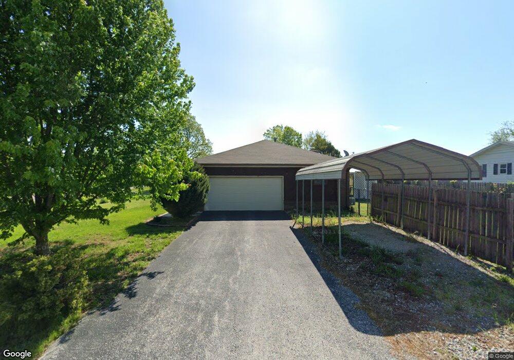
5490 N Farm Road 179 Springfield, MO 65803
Estimated Value: $223,000 - $280,000
3
Beds
2
Baths
1,752
Sq Ft
$146/Sq Ft
Est. Value
About This Home
This home is located at 5490 N Farm Road 179, Springfield, MO 65803 and is currently estimated at $254,996, approximately $145 per square foot. 5490 N Farm Road 179 is a home located in Greene County with nearby schools including Pleasant View Elementary School, Pleasant View K-8 School, and Hillcrest High School.
Ownership History
Date
Name
Owned For
Owner Type
Purchase Details
Closed on
Oct 15, 2009
Sold by
Smith John W and Smith Mary Ann
Bought by
Stewart Ken
Current Estimated Value
Home Financials for this Owner
Home Financials are based on the most recent Mortgage that was taken out on this home.
Original Mortgage
$105,210
Outstanding Balance
$68,771
Interest Rate
5.1%
Mortgage Type
New Conventional
Estimated Equity
$186,225
Create a Home Valuation Report for This Property
The Home Valuation Report is an in-depth analysis detailing your home's value as well as a comparison with similar homes in the area
Home Values in the Area
Average Home Value in this Area
Purchase History
| Date | Buyer | Sale Price | Title Company |
|---|---|---|---|
| Stewart Ken | -- | Fidelity Title Agency |
Source: Public Records
Mortgage History
| Date | Status | Borrower | Loan Amount |
|---|---|---|---|
| Open | Stewart Ken | $105,210 |
Source: Public Records
Tax History Compared to Growth
Tax History
| Year | Tax Paid | Tax Assessment Tax Assessment Total Assessment is a certain percentage of the fair market value that is determined by local assessors to be the total taxable value of land and additions on the property. | Land | Improvement |
|---|---|---|---|---|
| 2025 | $1,564 | $28,800 | $4,750 | $24,050 |
| 2024 | $1,564 | $27,020 | $3,020 | $24,000 |
| 2023 | $1,556 | $27,020 | $3,020 | $24,000 |
| 2022 | $1,370 | $23,310 | $3,020 | $20,290 |
| 2021 | $1,310 | $23,310 | $3,020 | $20,290 |
| 2020 | $1,266 | $21,390 | $3,020 | $18,370 |
| 2019 | $1,231 | $21,390 | $3,020 | $18,370 |
| 2018 | $1,039 | $17,970 | $3,020 | $14,950 |
| 2017 | $1,030 | $17,970 | $3,020 | $14,950 |
| 2016 | $1,028 | $17,970 | $3,020 | $14,950 |
| 2015 | $1,021 | $17,970 | $3,020 | $14,950 |
| 2014 | $1,020 | $17,970 | $3,020 | $14,950 |
Source: Public Records
Map
Nearby Homes
- 000 N Farm Road 177
- 3495 E State Highway Aa
- Lot 8 E Theran Ave
- Lot 7 E Theran Ave
- Lot 9 E Theran Ave
- Lot 6 E Theran Ave
- Lot 5 E Theran Ave
- Lot 10 E Theran Ave
- Lot 11 E Theran Ave
- Lot 4 E Theran Ave
- Lot 12 E Theran Ave
- 2727 E Theran Ave E
- 5293 N Farm Road 189
- 4697 N Farm Road 175
- 4541b N Lanier Ln
- 4541 N Lanier Ln
- 4159 N Farm Road 173
- 5328 N State Highway H
- 00 State Highway H N
- 6487 N Farm Road 171
- 5474 N Farm Road 179
- 5491 N Farm Road 179
- 5458 N Farm Road 179
- 5475 N Farm Road 179
- 5459 N Farm Road 179
- 3252 E State Highway Kk
- 5443 N Farm Road 179
- 5427 N Farm Road 179
- 0 E State Hwy Aa Unit T 10 11006700
- 0 E State Hwy Aa Unit 10816287
- 0 E State Hwy Aa Unit 10821735
- 0 E State Hwy Aa Unit 10816323
- 0 E State Hwy Aa Unit 11006701
- 0 E State Hwy Aa Unit 11214797
- 0 E State Hwy Aa Unit 11315815
- 5410 N Farm Road 179
- 5411 N Farm Road 179
- 3330 E State Highway Aa
- 5394 N Farm Road 179
- 5395 N Farm Road 179