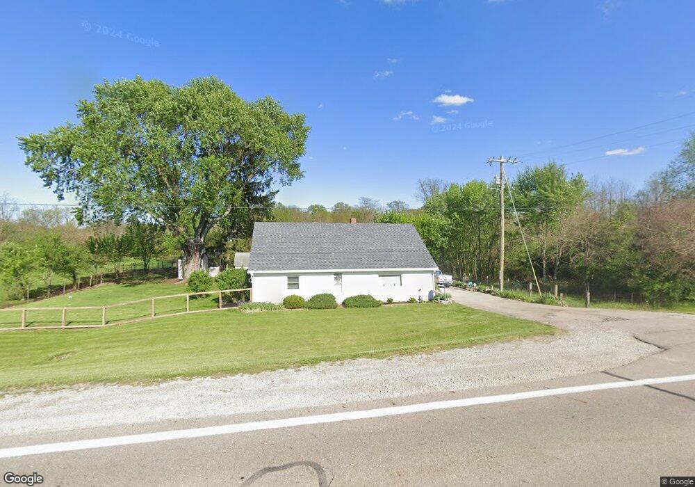
5495 State Route 201 Tipp City, OH 45371
Estimated Value: $227,106 - $400,000
2
Beds
1
Bath
1,776
Sq Ft
$174/Sq Ft
Est. Value
About This Home
This home is located at 5495 State Route 201, Tipp City, OH 45371 and is currently estimated at $309,777, approximately $174 per square foot. 5495 State Route 201 is a home located in Miami County with nearby schools including Bethel Elementary School, Bethel Middle School, and Bethel High School.
Ownership History
Date
Name
Owned For
Owner Type
Purchase Details
Closed on
Apr 29, 2021
Sold by
Qurst Rose M
Bought by
Knops Vickie
Current Estimated Value
Purchase Details
Closed on
Apr 9, 2021
Sold by
Altenburger Scott and Estate Of Daniel L Durst
Bought by
Knops Vickie and Durst Rose
Purchase Details
Closed on
Jul 17, 2018
Sold by
Durst Daniel Lee
Bought by
Durst Mary Ellen
Purchase Details
Closed on
Jan 1, 1990
Bought by
Durst D W
Create a Home Valuation Report for This Property
The Home Valuation Report is an in-depth analysis detailing your home's value as well as a comparison with similar homes in the area
Home Values in the Area
Average Home Value in this Area
Purchase History
| Date | Buyer | Sale Price | Title Company |
|---|---|---|---|
| Knops Vickie | $950,000 | None Available | |
| Knops Vickie | -- | None Available | |
| Durst Mary Ellen | -- | None Available | |
| Durst D W | -- | -- |
Source: Public Records
Tax History Compared to Growth
Tax History
| Year | Tax Paid | Tax Assessment Tax Assessment Total Assessment is a certain percentage of the fair market value that is determined by local assessors to be the total taxable value of land and additions on the property. | Land | Improvement |
|---|---|---|---|---|
| 2024 | $1,652 | $44,350 | $14,700 | $29,650 |
| 2023 | $1,652 | $44,350 | $14,700 | $29,650 |
| 2022 | $1,922 | $40,670 | $14,700 | $25,970 |
| 2021 | $1,720 | $33,880 | $12,250 | $21,630 |
| 2020 | $1,710 | $33,880 | $12,250 | $21,630 |
| 2019 | $1,730 | $33,880 | $12,250 | $21,630 |
| 2018 | $1,335 | $33,190 | $10,190 | $23,000 |
| 2017 | $1,336 | $33,190 | $10,190 | $23,000 |
| 2016 | $1,204 | $33,190 | $10,190 | $23,000 |
| 2015 | $1,181 | $31,920 | $9,800 | $22,120 |
| 2014 | $1,181 | $31,920 | $9,800 | $22,120 |
| 2013 | $1,002 | $31,920 | $9,800 | $22,120 |
Source: Public Records
Map
Nearby Homes
- 0 Ohio 201
- 7817 Ohio 201
- 7715 E New Carlisle Rd
- 7540 Agenbroad Rd
- 7032 Honeylocust St
- 5315 E State Route 571
- 605 Fenview Dr
- 930 Firwood Dr
- 907 White Pine St
- 1101 Cambridge Ct Unit 1103
- 210 Zimmerman St
- 224 Orth Dr
- 315 Fenwick Dr
- 302 N Smith St
- 2656 Addison New Carlisle Rd
- 6345 Ohio 202
- 201 N Henry St
- 222 Rawson Dr
- 5495 State Route 201
- 5275 State Route 201
- 5290 State Route 201
- 5250 State Route 201
- 5785 State Route 201
- 5775 State Route 201
- 5815 State Route 201
- 5850 State Route 201
- 5870 State Route 201
- 7135 E New Carlisle Rd
- 1 St Rt 201 Rd
- 5890 State Route 201
- 5965 State Route 201
- 7250 E New Carlisle Rd
- 5920 State Route 201
- 7105 E New Carlisle Rd
- 7135 E State Route 571
- 5970 State Route 201
- 7025 E State Route 571
- 6915 E State Route 571