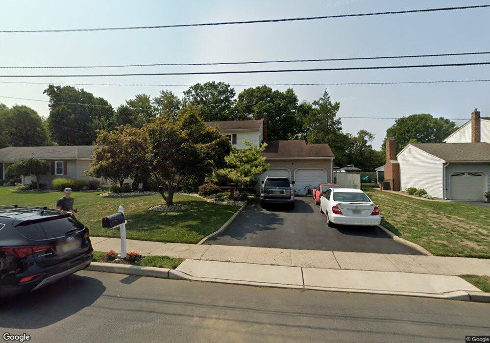
55 Elkton Ave Trenton, NJ 08619
Estimated Value: $535,000 - $568,000
4
Beds
3
Baths
1,960
Sq Ft
$283/Sq Ft
Est. Value
About This Home
This home is located at 55 Elkton Ave, Trenton, NJ 08619 and is currently estimated at $554,403, approximately $282 per square foot. 55 Elkton Ave is a home located in Mercer County with nearby schools including Kuser Elementary School, Emily C. Reynolds Middle School, and Steinert - Hamilton High East.
Ownership History
Date
Name
Owned For
Owner Type
Purchase Details
Closed on
Dec 27, 2010
Sold by
Hens John E and Hens Valerie
Bought by
Stark David G and Stark Cynthia
Current Estimated Value
Home Financials for this Owner
Home Financials are based on the most recent Mortgage that was taken out on this home.
Original Mortgage
$251,000
Outstanding Balance
$167,734
Interest Rate
4.37%
Mortgage Type
New Conventional
Estimated Equity
$386,669
Create a Home Valuation Report for This Property
The Home Valuation Report is an in-depth analysis detailing your home's value as well as a comparison with similar homes in the area
Home Values in the Area
Average Home Value in this Area
Purchase History
| Date | Buyer | Sale Price | Title Company |
|---|---|---|---|
| Stark David G | $316,000 | Monarch Title Agency Inc |
Source: Public Records
Mortgage History
| Date | Status | Borrower | Loan Amount |
|---|---|---|---|
| Open | Stark David G | $251,000 |
Source: Public Records
Tax History Compared to Growth
Tax History
| Year | Tax Paid | Tax Assessment Tax Assessment Total Assessment is a certain percentage of the fair market value that is determined by local assessors to be the total taxable value of land and additions on the property. | Land | Improvement |
|---|---|---|---|---|
| 2025 | $10,174 | $288,700 | $85,900 | $202,800 |
| 2024 | $9,536 | $288,700 | $85,900 | $202,800 |
| 2023 | $9,536 | $288,700 | $85,900 | $202,800 |
| 2022 | $9,386 | $288,700 | $85,900 | $202,800 |
| 2021 | $10,777 | $288,700 | $85,900 | $202,800 |
| 2020 | $9,738 | $288,700 | $85,900 | $202,800 |
| 2019 | $9,484 | $288,700 | $85,900 | $202,800 |
| 2018 | $9,377 | $288,700 | $85,900 | $202,800 |
| 2017 | $8,898 | $288,700 | $85,900 | $202,800 |
| 2016 | $7,806 | $288,700 | $85,900 | $202,800 |
| 2015 | $8,639 | $177,800 | $52,900 | $124,900 |
| 2014 | $8,501 | $177,800 | $52,900 | $124,900 |
Source: Public Records
Map
Nearby Homes
- 14 Chester Ave
- 176 Pope Ave
- 319 Cypress Ln
- L:25 Mandl St
- 61 Leuckel Ave
- 25 Brook Ln
- 20 Leuckel Ave
- 16 Merovan Ave
- 90 Sundance Dr
- 125 Sundance Dr
- 1523 Cornell Ave
- 226 Saybrook Ave
- 121 Dickinson Ave
- 235 Darcy Ave
- 1427 Hamilton Ave
- 144 Beal St
- 448 Lynwood Ave
- 51 Charlotte Ave
- 20 Charlotte Ave
- 618 Atlantic Ave