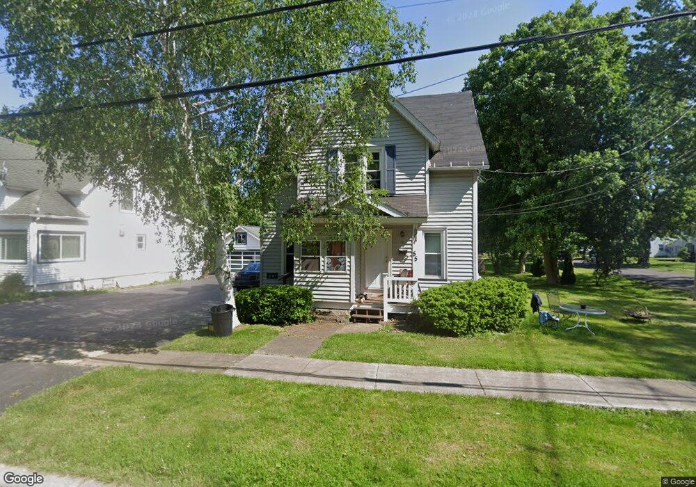
55 Frank St Fairport, NY 14450
Estimated Value: $227,000 - $336,000
3
Beds
3
Baths
1,355
Sq Ft
$204/Sq Ft
Est. Value
About This Home
This home is located at 55 Frank St, Fairport, NY 14450 and is currently estimated at $276,589, approximately $204 per square foot. 55 Frank St is a home located in Monroe County with nearby schools including Northside School, Dudley School, and Johanna Perrin Middle School.
Ownership History
Date
Name
Owned For
Owner Type
Purchase Details
Closed on
Feb 22, 2017
Sold by
Cozine Mills Donna Marie and Mills Craig
Bought by
Jt1 Holdings Llc
Current Estimated Value
Purchase Details
Closed on
Sep 9, 2010
Sold by
Obrien James and Obrien Diane
Bought by
Cozine Mills Donna Marie and Mills Craig
Purchase Details
Closed on
Apr 23, 1999
Sold by
Baxter Donald J
Bought by
Obrien James and Schmaltz Diane
Create a Home Valuation Report for This Property
The Home Valuation Report is an in-depth analysis detailing your home's value as well as a comparison with similar homes in the area
Home Values in the Area
Average Home Value in this Area
Purchase History
| Date | Buyer | Sale Price | Title Company |
|---|---|---|---|
| Jt1 Holdings Llc | -- | None Available | |
| Cozine Mills Donna Marie | $100,000 | None Available | |
| Obrien James | $87,000 | -- | |
| Obrien James | -- | Owens David |
Source: Public Records
Tax History Compared to Growth
Tax History
| Year | Tax Paid | Tax Assessment Tax Assessment Total Assessment is a certain percentage of the fair market value that is determined by local assessors to be the total taxable value of land and additions on the property. | Land | Improvement |
|---|---|---|---|---|
| 2024 | $5,694 | $114,400 | $36,000 | $78,400 |
| 2023 | $5,455 | $114,400 | $36,000 | $78,400 |
| 2022 | $5,254 | $114,400 | $36,000 | $78,400 |
| 2021 | $5,278 | $114,400 | $36,000 | $78,400 |
| 2020 | $5,191 | $114,400 | $36,000 | $78,400 |
| 2019 | $4,032 | $114,400 | $27,000 | $87,400 |
| 2018 | $4,945 | $114,400 | $27,000 | $87,400 |
| 2017 | $2,621 | $110,000 | $27,000 | $83,000 |
| 2016 | $4,032 | $110,000 | $27,000 | $83,000 |
| 2015 | -- | $110,000 | $27,000 | $83,000 |
| 2014 | -- | $110,000 | $27,000 | $83,000 |
Source: Public Records
Map
Nearby Homes
- 19 Homestead Dr
- 70 High St
- 15 Whitney Farms Cir
- 603 Watson Rd
- 12 Deland Park A
- 1331 Whitney Rd E
- 105 Packetts Glen
- 3 Packetts Glen
- 86 Broxbourne Dr
- 112 Roselawn Ave
- 76 - 78 Summit St
- 31 Dewey Ave
- 2 Foxpointe Cir
- 79 Saint Andrews Blvd
- 255 Watson Rd
- 9 Killeen Dr
- 4 Arbor Ct
- 31 Belinda Crescent
- 34 Belinda Crescent
- 14 Little Briggins Cir