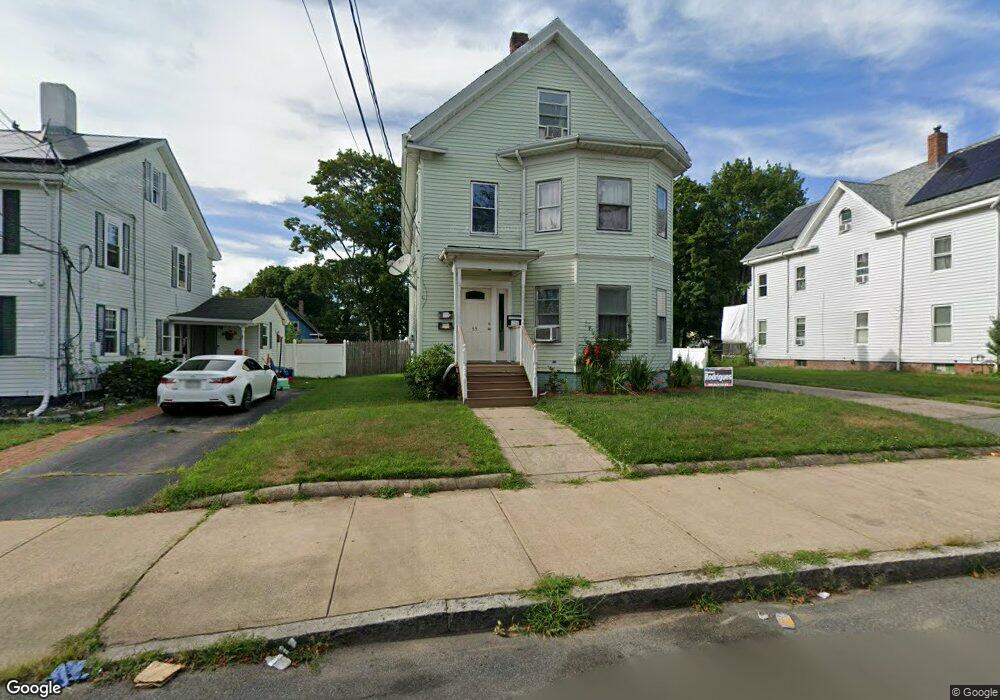
55 Keith Ave Brockton, MA 02301
Campello NeighborhoodEstimated Value: $635,916 - $819,000
4
Beds
2
Baths
2,716
Sq Ft
$273/Sq Ft
Est. Value
About This Home
This home is located at 55 Keith Ave, Brockton, MA 02301 and is currently estimated at $741,729, approximately $273 per square foot. 55 Keith Ave is a home located in Plymouth County with nearby schools including Davis K-8 School, John F. Kennedy Elementary School, and South Middle School.
Ownership History
Date
Name
Owned For
Owner Type
Purchase Details
Closed on
Jul 22, 2004
Sold by
Semedo Estavao D
Bought by
Semedo Estevao D and Semedo Adelina M
Current Estimated Value
Home Financials for this Owner
Home Financials are based on the most recent Mortgage that was taken out on this home.
Original Mortgage
$260,000
Interest Rate
6.28%
Purchase Details
Closed on
Jul 20, 1999
Sold by
Tavares Alberto and Lopes Emiliano J
Bought by
Semedo Estevao D
Purchase Details
Closed on
May 5, 1998
Sold by
Fuller Dorothy S
Bought by
Tavares Alberto and Lopes Emiliano J
Create a Home Valuation Report for This Property
The Home Valuation Report is an in-depth analysis detailing your home's value as well as a comparison with similar homes in the area
Home Values in the Area
Average Home Value in this Area
Purchase History
| Date | Buyer | Sale Price | Title Company |
|---|---|---|---|
| Semedo Estevao D | -- | -- | |
| Semedo Estevao D | $140,000 | -- | |
| Tavares Alberto | $95,000 | -- |
Source: Public Records
Mortgage History
| Date | Status | Borrower | Loan Amount |
|---|---|---|---|
| Open | Tavares Alberto | $331,500 | |
| Closed | Tavares Alberto | $295,000 | |
| Closed | Tavares Alberto | $260,000 |
Source: Public Records
Tax History Compared to Growth
Tax History
| Year | Tax Paid | Tax Assessment Tax Assessment Total Assessment is a certain percentage of the fair market value that is determined by local assessors to be the total taxable value of land and additions on the property. | Land | Improvement |
|---|---|---|---|---|
| 2025 | $7,478 | $617,500 | $140,300 | $477,200 |
| 2024 | $7,357 | $612,100 | $140,300 | $471,800 |
| 2023 | $6,250 | $481,500 | $105,400 | $376,100 |
| 2022 | $5,909 | $423,000 | $95,900 | $327,100 |
| 2021 | $6,280 | $433,100 | $79,900 | $353,200 |
| 2020 | $5,186 | $342,300 | $74,600 | $267,700 |
| 2019 | $5,341 | $343,700 | $72,700 | $271,000 |
| 2018 | $4,725 | $294,200 | $72,700 | $221,500 |
| 2017 | $4,666 | $289,800 | $72,700 | $217,100 |
| 2016 | $4,147 | $238,900 | $70,500 | $168,400 |
| 2015 | $3,430 | $189,000 | $70,500 | $118,500 |
| 2014 | $3,611 | $199,200 | $70,500 | $128,700 |
Source: Public Records
Map
Nearby Homes
- 115 Market St
- 65 Tremont St
- 223 Clinton St Unit 10
- 223 Clinton St Unit 3
- 977 Warren Ave
- 936 Warren Ave
- 103 Clinton St
- 137 Channing Ave
- 163 S Leyden St
- 47 Southworth St
- 35 Longworth Ave Unit 17
- 15 1st St
- 15 Longworth Ave Unit 231
- 20 Custer St
- 153 Bouve Ave
- 61 Myrtle St
- 37 Menlo Ave
- 29 Hancock St
- 16 Hancock St
- 176 Ettrick St
- 49 Keith Ave
- 49 Keith Ave Unit U:1
- 49 Keith Ave Unit 1
- 57 Keith Ave
- 58 Rutland Square
- 58 Rutland Square Unit 3
- 43 Keith Ave
- 64 Rutland Square
- 54 Rutland Square
- 58 Keith Ave
- 58 Keith Ave Unit 1
- 67 Keith Ave
- 50 Rutland Square
- 1238 Warren Ave
- 52 Keith Ave
- 62 Keith Ave
- 44 Rutland Square
- 37 Keith Ave
- 1224 Warren Ave
- 66 Keith Ave