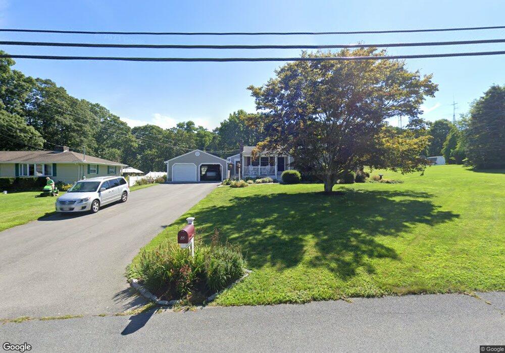
55 Kirby Rd Westport, MA 02790
Booth/Handy Four Corners NeighborhoodEstimated Value: $568,000 - $639,000
3
Beds
--
Bath
1,584
Sq Ft
$384/Sq Ft
Est. Value
About This Home
This home is located at 55 Kirby Rd, Westport, MA 02790 and is currently estimated at $608,703, approximately $384 per square foot. 55 Kirby Rd is a home located in Bristol County with nearby schools including Alice A. Macomber Primary School, Westport Elementary School, and Westport Middle-High School.
Ownership History
Date
Name
Owned For
Owner Type
Purchase Details
Closed on
Nov 27, 1979
Bought by
Margarida John M and Margarida Elaine L
Current Estimated Value
Create a Home Valuation Report for This Property
The Home Valuation Report is an in-depth analysis detailing your home's value as well as a comparison with similar homes in the area
Home Values in the Area
Average Home Value in this Area
Purchase History
| Date | Buyer | Sale Price | Title Company |
|---|---|---|---|
| Margarida John M | -- | -- |
Source: Public Records
Mortgage History
| Date | Status | Borrower | Loan Amount |
|---|---|---|---|
| Open | Margarida John M | $50,000 | |
| Closed | Margarida John M | $20,000 | |
| Closed | Margarida John M | $20,000 |
Source: Public Records
Tax History Compared to Growth
Tax History
| Year | Tax Paid | Tax Assessment Tax Assessment Total Assessment is a certain percentage of the fair market value that is determined by local assessors to be the total taxable value of land and additions on the property. | Land | Improvement |
|---|---|---|---|---|
| 2025 | $3,393 | $455,400 | $194,100 | $261,300 |
| 2024 | $3,383 | $437,700 | $179,900 | $257,800 |
| 2023 | $3,068 | $376,000 | $151,500 | $224,500 |
| 2022 | $2,898 | $341,800 | $151,500 | $190,300 |
| 2021 | $2,964 | $343,900 | $137,800 | $206,100 |
| 2020 | $2,804 | $332,600 | $126,500 | $206,100 |
| 2019 | $2,647 | $320,100 | $115,000 | $205,100 |
| 2018 | $2,471 | $302,400 | $114,600 | $187,800 |
| 2017 | $2,349 | $294,700 | $110,900 | $183,800 |
| 2016 | $2,167 | $273,900 | $107,300 | $166,600 |
| 2015 | $2,043 | $257,600 | $109,700 | $147,900 |
Source: Public Records
Map
Nearby Homes
- 7 Village Way
- 8 Village Way
- 15 Village Way
- 837 Main Rd
- 837 Main Road & Lot 2
- 8 Strawberry Ln
- 118 Charlotte White Rd Extension
- 0 Hidden Glen Ln
- 920 Drift Rd
- 101 Adamsville Rd
- 225 Hixbridge Rd
- 118 Charlotte White Rd
- Lot 0 Marcotte
- 978 Sodom Rd
- 47 Fallon Dr
- 73 White Oak Run
- 1346 Main Rd Unit B
- 4 Main Rd
- 6 Angel Ct
- 99 Sylvia Ln