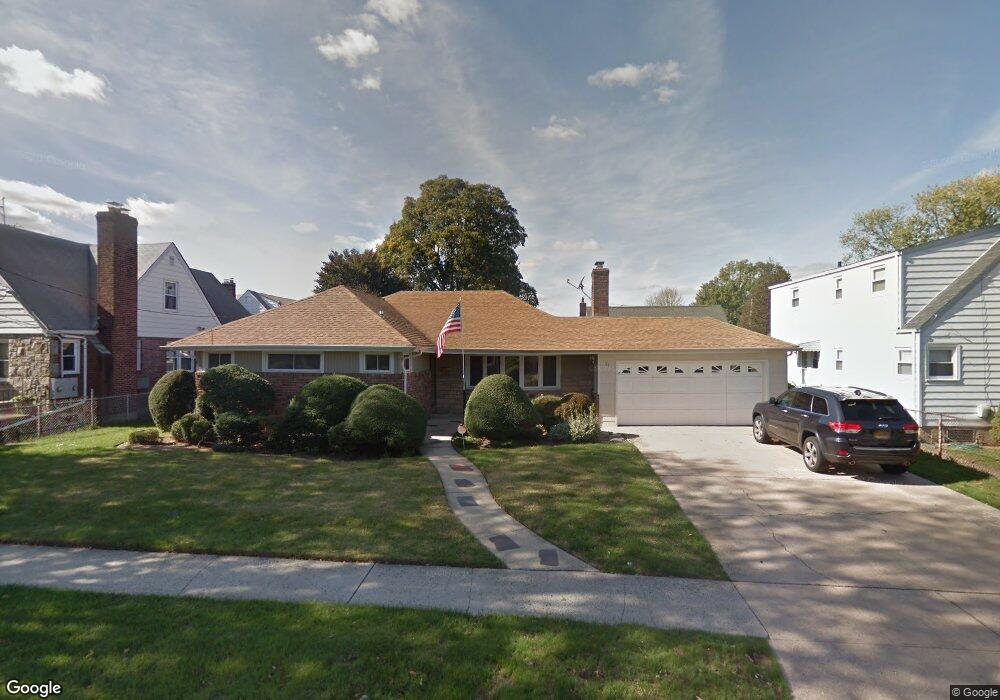
55 Mayfair Ave West Hempstead, NY 11552
Estimated Value: $728,000 - $740,030
--
Bed
2
Baths
1,500
Sq Ft
$489/Sq Ft
Est. Value
About This Home
This home is located at 55 Mayfair Ave, West Hempstead, NY 11552 and is currently estimated at $734,015, approximately $489 per square foot. 55 Mayfair Ave is a home located in Nassau County with nearby schools including Chestnut Street School, West Hempstead Secondary School, and Crescent School.
Ownership History
Date
Name
Owned For
Owner Type
Purchase Details
Closed on
Jun 30, 1999
Sold by
Traina Philip T and Brazzano Dorothy
Bought by
Buonfiglio Vincent
Current Estimated Value
Home Financials for this Owner
Home Financials are based on the most recent Mortgage that was taken out on this home.
Original Mortgage
$175,000
Outstanding Balance
$47,588
Interest Rate
7.19%
Estimated Equity
$686,427
Create a Home Valuation Report for This Property
The Home Valuation Report is an in-depth analysis detailing your home's value as well as a comparison with similar homes in the area
Home Values in the Area
Average Home Value in this Area
Purchase History
| Date | Buyer | Sale Price | Title Company |
|---|---|---|---|
| Buonfiglio Vincent | $225,000 | Commonwealth Land Title Ins |
Source: Public Records
Mortgage History
| Date | Status | Borrower | Loan Amount |
|---|---|---|---|
| Open | Buonfiglio Vincent | $175,000 |
Source: Public Records
Tax History Compared to Growth
Tax History
| Year | Tax Paid | Tax Assessment Tax Assessment Total Assessment is a certain percentage of the fair market value that is determined by local assessors to be the total taxable value of land and additions on the property. | Land | Improvement |
|---|---|---|---|---|
| 2025 | $3,856 | $556 | $326 | $230 |
| 2024 | $3,859 | $556 | $326 | $230 |
| 2023 | $3,715 | $556 | $326 | $230 |
| 2022 | $3,715 | $556 | $326 | $230 |
| 2021 | $3,804 | $531 | $311 | $220 |
| 2020 | $4,303 | $993 | $621 | $372 |
| 2019 | $4,031 | $993 | $621 | $372 |
| 2018 | $3,811 | $993 | $0 | $0 |
| 2017 | $0 | $993 | $621 | $372 |
| 2016 | $3,267 | $993 | $621 | $372 |
| 2015 | $2,954 | $993 | $621 | $372 |
| 2014 | $2,954 | $993 | $621 | $372 |
| 2013 | $2,762 | $993 | $621 | $372 |
Source: Public Records
Map
Nearby Homes
- 210 William St
- 219 William St
- 51 Mayfair Ave
- 222 Marshall Ave
- 225 William St
- 226 Marshall Ave
- 58 Mayfair Ave
- 229 William St
- 75 Mayfair Ave
- 211 Marshall Ave
- 50 Mayfair Ave Unit 1
- 233 William St
- 3 May Ct
- 220 William St
- 224 William St
- 236 Marshall Ave
- 236 Marshall Ave
- 35 Mayfair Ave
- 221 Marshall Ave
- 239 William St