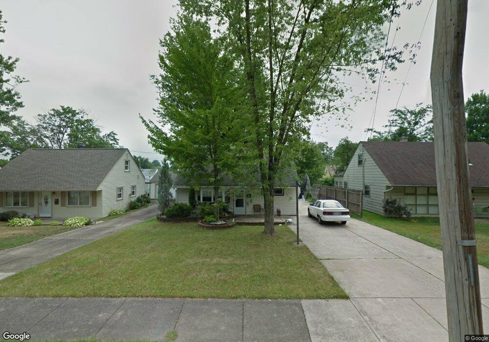
55 N Beverly Ave Youngstown, OH 44515
Austintown NeighborhoodEstimated Value: $118,000 - $128,000
3
Beds
1
Bath
1,210
Sq Ft
$101/Sq Ft
Est. Value
About This Home
This home is located at 55 N Beverly Ave, Youngstown, OH 44515 and is currently estimated at $122,401, approximately $101 per square foot. 55 N Beverly Ave is a home located in Mahoning County with nearby schools including Austintown Elementary School, Austintown Intermediate School, and Austintown Middle School.
Ownership History
Date
Name
Owned For
Owner Type
Purchase Details
Closed on
May 18, 2018
Sold by
Mcintyre Robert S and Yemma Danie R
Bought by
Mahoning County Land Reutilization Corp
Current Estimated Value
Purchase Details
Closed on
Jun 27, 2005
Sold by
Cross James S and Cross Connie L
Bought by
Mcintyre Robert S
Home Financials for this Owner
Home Financials are based on the most recent Mortgage that was taken out on this home.
Original Mortgage
$63,000
Interest Rate
9%
Mortgage Type
Fannie Mae Freddie Mac
Purchase Details
Closed on
Nov 18, 1992
Bought by
Cross James S and Cross Connie
Create a Home Valuation Report for This Property
The Home Valuation Report is an in-depth analysis detailing your home's value as well as a comparison with similar homes in the area
Home Values in the Area
Average Home Value in this Area
Purchase History
We collect this data history from publicly available records. To have your information removed, we recommend requesting removal directly through your county’s website.
| Date | Buyer | Sale Price | Title Company |
|---|---|---|---|
| Mahoning County Land Reutilization Corp | -- | None Available | |
| Mcintyre Robert S | $70,000 | -- | |
| Cross James S | $36,300 | -- |
Source: Public Records
Mortgage History
We collect this data history from publicly available records. To have your information removed, we recommend requesting removal directly through your county’s website.
| Date | Status | Borrower | Loan Amount |
|---|---|---|---|
| Previous Owner | Mcintyre Robert S | $63,000 |
Source: Public Records
Tax History
| Year | Tax Paid | Tax Assessment Tax Assessment Total Assessment is a certain percentage of the fair market value that is determined by local assessors to be the total taxable value of land and additions on the property. | Land | Improvement |
|---|---|---|---|---|
| 2025 | $1,362 | $28,030 | $2,190 | $25,840 |
| 2024 | $1,304 | $28,030 | $2,190 | $25,840 |
| 2023 | $1,280 | $28,030 | $2,190 | $25,840 |
| 2022 | $875 | $15,300 | $2,190 | $13,110 |
| 2021 | $876 | $15,300 | $2,190 | $13,110 |
| 2020 | $16 | $15,300 | $2,190 | $13,110 |
| 2019 | $2,033 | $13,690 | $2,190 | $11,500 |
| 2018 | $1,000 | $13,690 | $2,190 | $11,500 |
| 2017 | $1,331 | $13,690 | $2,190 | $11,500 |
| 2016 | $1,018 | $16,660 | $2,720 | $13,940 |
| 2015 | $1,558 | $16,660 | $2,720 | $13,940 |
| 2014 | $988 | $16,660 | $2,720 | $13,940 |
| 2013 | $977 | $16,660 | $2,720 | $13,940 |
Source: Public Records
Map
Nearby Homes
- 4258 Mahoning Ave
- 97 Idlewood Rd
- 73 N Edgehill Ave
- 50 N Main St
- 66 S Beverly Ave
- 181 N Yorkshire Blvd
- 251 N Beverly Ave
- 102 S Main St
- 0 N Navarre Ave
- 132 S Main St
- 220 Carnegie Ave
- 221 Parkgate Ave
- 252 Parkgate Ave
- 339 Westminster Ave
- 3928 Frederick St Unit 930
- 406 S Raccoon Rd
- 425 Southward Dr
- 431 Westgate Blvd
- 4847 Norquest Blvd
- 613 N Raccoon Rd
- 59 N Beverly Ave
- 51 N Beverly Ave
- 47 N Beverly Ave
- 63 N Beverly Ave
- 41 N Beverly Ave
- 67 N Beverly Ave
- 40 N Roanoke Ave
- 36 N Roanoke Ave
- 36 N Roanoke Ave
- 44 N Roanoke Ave
- 32 N Roanoke Ave
- 32 N Roanoke Ave
- 29 N Yorkshire Blvd
- 46 N Roanoke Ave
- 28 N Roanoke Ave
- 28 N Roanoke Ave
- 71 N Beverly Ave
- 31 N Yorkshire Blvd
- 48 N Roanoke Ave
- 48 N Roanoke Ave
Your Personal Tour Guide
Ask me questions while you tour the home.