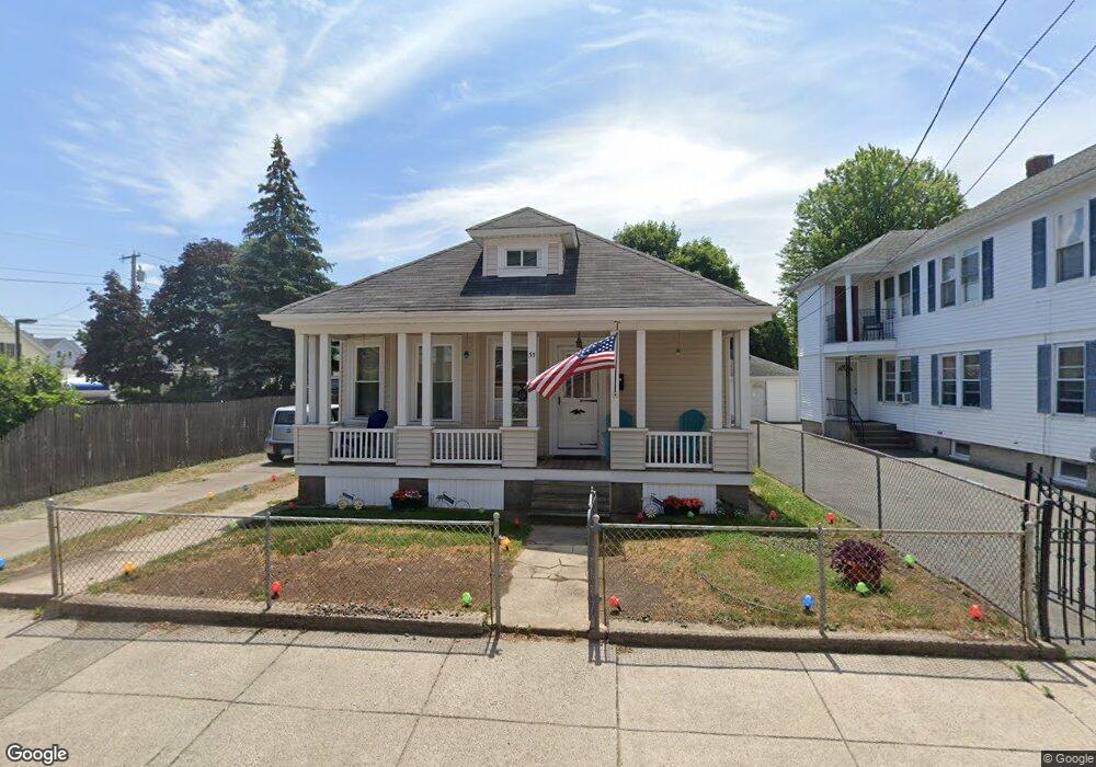
55 Norfolk Ave Pawtucket, RI 02861
Darlington NeighborhoodEstimated Value: $373,229 - $397,000
3
Beds
1
Bath
1,162
Sq Ft
$331/Sq Ft
Est. Value
About This Home
This home is located at 55 Norfolk Ave, Pawtucket, RI 02861 and is currently estimated at $384,557, approximately $330 per square foot. 55 Norfolk Ave is a home located in Providence County with nearby schools including St Cecilia School and Saint Teresa Catholic Elementary School.
Ownership History
Date
Name
Owned For
Owner Type
Purchase Details
Closed on
May 30, 2013
Sold by
Martin David L
Bought by
Martin Gregory S
Current Estimated Value
Home Financials for this Owner
Home Financials are based on the most recent Mortgage that was taken out on this home.
Original Mortgage
$92,000
Outstanding Balance
$42,480
Interest Rate
3.45%
Mortgage Type
New Conventional
Estimated Equity
$342,077
Purchase Details
Closed on
Feb 20, 2013
Sold by
Martin David L
Bought by
Martin Russell
Create a Home Valuation Report for This Property
The Home Valuation Report is an in-depth analysis detailing your home's value as well as a comparison with similar homes in the area
Home Values in the Area
Average Home Value in this Area
Purchase History
| Date | Buyer | Sale Price | Title Company |
|---|---|---|---|
| Martin Gregory S | $115,000 | -- | |
| Martin Russell | -- | -- |
Source: Public Records
Mortgage History
| Date | Status | Borrower | Loan Amount |
|---|---|---|---|
| Open | Martin Russell | $92,000 | |
| Previous Owner | Martin Russell | $100,000 |
Source: Public Records
Tax History Compared to Growth
Tax History
| Year | Tax Paid | Tax Assessment Tax Assessment Total Assessment is a certain percentage of the fair market value that is determined by local assessors to be the total taxable value of land and additions on the property. | Land | Improvement |
|---|---|---|---|---|
| 2025 | $3,909 | $297,300 | $138,300 | $159,000 |
| 2024 | $3,669 | $297,300 | $138,300 | $159,000 |
| 2023 | $3,063 | $180,800 | $73,000 | $107,800 |
| 2022 | $2,998 | $180,800 | $73,000 | $107,800 |
| 2021 | $2,998 | $180,800 | $73,000 | $107,800 |
| 2020 | $2,818 | $134,900 | $60,800 | $74,100 |
| 2019 | $2,818 | $134,900 | $60,800 | $74,100 |
| 2018 | $2,716 | $134,900 | $60,800 | $74,100 |
| 2017 | $2,470 | $108,700 | $49,700 | $59,000 |
| 2016 | $2,379 | $108,700 | $49,700 | $59,000 |
| 2015 | $2,379 | $108,700 | $49,700 | $59,000 |
| 2014 | $2,341 | $101,500 | $49,700 | $51,800 |
Source: Public Records
Map
Nearby Homes
- 1167 Newport Ave
- 126 Suffolk Ave
- 304 Hughes Ave
- 140 Robinson Ave
- 342 Grand Ave
- 31 Norris Ave
- 118 Chaplin St
- 41 Calder St
- 9 Makin St
- 180 Darlingdale Ave
- 83 Chaplin St
- 113 Oakland Ave
- 0 Chaplin St
- 133 Hanover Ave
- 358 Orient Ave
- 580 Central Ave
- 139 Tweed St
- 574 Central Ave
- 39 Chaplin St
- 888 Central Ave
- 53 Norfolk Ave
- 1202 Newport Ave
- 51 Norfolk Ave
- 58 Suffolk Ave
- 1184 Newport Ave
- 45 Norfolk Ave
- 52 Suffolk Ave
- 1196 Newport Ave
- 46 Suffolk Ave
- 37 Norfolk Ave
- 31 Norfolk Ave
- 1197 Newport Ave
- 1193 Newport Ave
- 36 Suffolk Ave
- 1168 Newport Ave
- 1191 Newport Ave
- 1173 Newport Ave
- 25 Norfolk Ave
- 86 Suffolk Ave
- 727 Central Ave