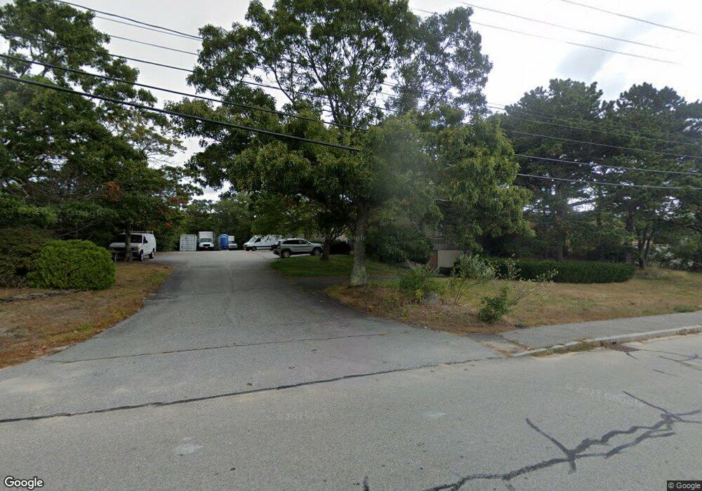
55 Portside Dr Pocasset, MA 02559
Pocasset NeighborhoodEstimated Value: $939,510
--
Bed
--
Bath
6,775
Sq Ft
$139/Sq Ft
Est. Value
About This Home
This home is located at 55 Portside Dr, Pocasset, MA 02559 and is currently estimated at $939,510, approximately $138 per square foot. 55 Portside Dr is a home located in Barnstable County with nearby schools including Bourne High School.
Ownership History
Date
Name
Owned For
Owner Type
Purchase Details
Closed on
Sep 24, 2021
Sold by
55 Portside Drive Llc
Bought by
55 Portside Llc
Current Estimated Value
Home Financials for this Owner
Home Financials are based on the most recent Mortgage that was taken out on this home.
Original Mortgage
$362,500
Outstanding Balance
$328,407
Interest Rate
2.8%
Mortgage Type
Purchase Money Mortgage
Estimated Equity
$611,103
Purchase Details
Closed on
Mar 4, 2013
Sold by
55 Portside Rt and Levine
Bought by
55 Portside Drive Llc
Create a Home Valuation Report for This Property
The Home Valuation Report is an in-depth analysis detailing your home's value as well as a comparison with similar homes in the area
Home Values in the Area
Average Home Value in this Area
Purchase History
| Date | Buyer | Sale Price | Title Company |
|---|---|---|---|
| 55 Portside Llc | $725,000 | None Available | |
| 55 Portside Drive Llc | $450,000 | -- |
Source: Public Records
Mortgage History
| Date | Status | Borrower | Loan Amount |
|---|---|---|---|
| Open | 55 Portside Llc | $362,500 | |
| Closed | 55 Portside Drive Llc | $0 |
Source: Public Records
Tax History Compared to Growth
Tax History
| Year | Tax Paid | Tax Assessment Tax Assessment Total Assessment is a certain percentage of the fair market value that is determined by local assessors to be the total taxable value of land and additions on the property. | Land | Improvement |
|---|---|---|---|---|
| 2025 | $6,268 | $802,500 | $462,800 | $339,700 |
| 2024 | $6,129 | $764,200 | $440,700 | $323,500 |
| 2023 | $6,327 | $718,200 | $423,800 | $294,400 |
| 2022 | $7,203 | $713,900 | $478,100 | $235,800 |
| 2021 | $7,456 | $692,300 | $464,200 | $228,100 |
| 2020 | $7,334 | $682,900 | $455,200 | $227,700 |
| 2019 | $7,004 | $666,400 | $446,200 | $220,200 |
| 2018 | $6,765 | $641,800 | $429,000 | $212,800 |
| 2017 | $6,535 | $634,500 | $424,700 | $209,800 |
| 2016 | $6,475 | $637,300 | $424,800 | $212,500 |
| 2015 | $6,309 | $626,500 | $424,800 | $201,700 |
Source: Public Records
Map
Nearby Homes
- 590C Macarthur Blvd
- 590 Macarthur Blvd
- 53 Portside Dr
- 53 Portside Dr Unit C
- 54 Portside Dr
- 606 Macarthur Blvd
- 28 Commerce Park Rd
- 610 Macarthur Blvd
- 26 Commerce Park Rd
- 614 Macarthur Blvd
- 55 Jonathan Bourne Dr
- 59 Jonathan Bourne Dr
- 3 Forest St
- 3 Forest Park Dr
- 24 Commerce Park Rd
- 50 Portside Dr Unit C
- 50 Portside Dr Unit A
- 50 Portside Dr
- 618 Mac Arthur Blvd
- 55 Jonathan Bourne Dr