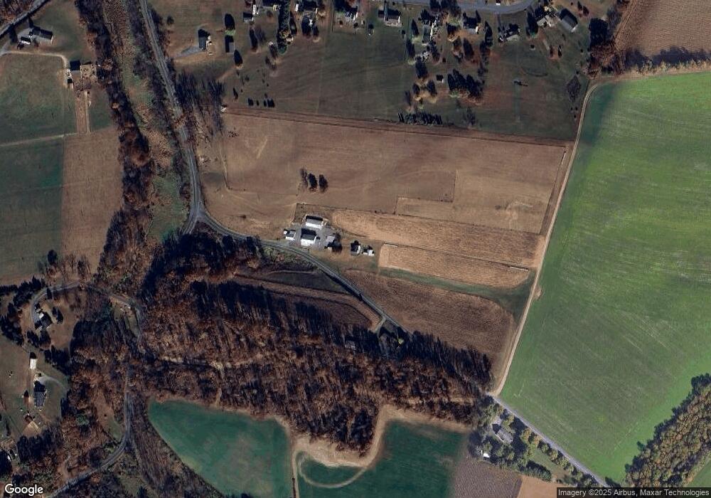
550 Penny Rd Mohrsville, PA 19541
Centerport NeighborhoodEstimated Value: $539,838
3
Beds
1
Bath
1,376
Sq Ft
$392/Sq Ft
Est. Value
About This Home
This home is located at 550 Penny Rd, Mohrsville, PA 19541 and is currently priced at $539,838, approximately $392 per square foot. 550 Penny Rd is a home located in Berks County with nearby schools including Schuylkill Valley Elementary School, Schuylkill Valley Middle School, and Schuylkill Valley High School.
Ownership History
Date
Name
Owned For
Owner Type
Purchase Details
Closed on
Jan 26, 2022
Sold by
Weiss Brandon L
Bought by
Lesher Jacob and Clauser Courtney
Current Estimated Value
Home Financials for this Owner
Home Financials are based on the most recent Mortgage that was taken out on this home.
Original Mortgage
$440,000
Outstanding Balance
$406,911
Interest Rate
3.22%
Mortgage Type
New Conventional
Purchase Details
Closed on
Dec 15, 2014
Sold by
Boltz Kenneth M and Boltz Judy A
Bought by
Weiss Brandon L and Weiss Stacy L
Create a Home Valuation Report for This Property
The Home Valuation Report is an in-depth analysis detailing your home's value as well as a comparison with similar homes in the area
Home Values in the Area
Average Home Value in this Area
Purchase History
| Date | Buyer | Sale Price | Title Company |
|---|---|---|---|
| Lesher Jacob | $550,000 | Sentry Abstract | |
| Weiss Brandon L | $350,000 | None Available |
Source: Public Records
Mortgage History
| Date | Status | Borrower | Loan Amount |
|---|---|---|---|
| Open | Lesher Jacob | $440,000 | |
| Closed | Weiss Brandon L | $0 |
Source: Public Records
Tax History Compared to Growth
Tax History
| Year | Tax Paid | Tax Assessment Tax Assessment Total Assessment is a certain percentage of the fair market value that is determined by local assessors to be the total taxable value of land and additions on the property. | Land | Improvement |
|---|---|---|---|---|
| 2023 | $2,791 | $77,500 | $11,700 | $65,800 |
| 2022 | $2,777 | $77,500 | $11,700 | $65,800 |
| 2021 | $2,777 | $77,500 | $11,700 | $65,800 |
| 2020 | $2,777 | $77,500 | $11,700 | $65,800 |
| 2019 | $2,719 | $77,500 | $11,700 | $65,800 |
| 2018 | $2,719 | $77,500 | $11,700 | $65,800 |
Source: Public Records
Map
Nearby Homes
- 661 Hickory Rd
- 0 Bellemans Church Rd Unit PABK2064276
- 282 Ernst Rd
- 631 Tower Rd
- 1302 Garfield Rd
- 62 Shamrock Ave
- 16 Shamrock Ave
- 340 Molasses Hill Rd
- 739 Boar Rd
- 86 Tower Rd
- 2215 Main St
- 1931 Appaloosa Ln
- 1919 Main St
- 1915 Main St
- 115 Chestnut St
- 1001 Mill Rd
- 350 Grove Rd
- 0 Woodland Dr
- 482 Data Rd
- 276 Skyline Dr
- 489 Penny Rd
- 515 Rake Rd
- 170 Cornerstone Dr
- 134 Cornerstone Dr
- 204 Cornerstone Dr
- 100 Cornerstone Dr
- 242 Cornerstone Dr
- 736 Rake Rd
- 135 Cornerstone Dr
- 191 Cornerstone Dr
- 361 Penny Rd
- 93 Cornerstone Dr
- 304 Cornerstone Dr
- 243 Cornerstone Dr
- 908 Rake Rd
- 339 Cornerstone Dr
- 37 Cornerstone Dr
- 843 Rake Rd
- 330 Cornerstone Dr
- 199 Bootleg Rd
