55037 843rd Rd Norfolk, NE 68701
Estimated Value: $215,000 - $406,000
2
Beds
2
Baths
1,440
Sq Ft
$204/Sq Ft
Est. Value
About This Home
This home is located at 55037 843rd Rd, Norfolk, NE 68701 and is currently estimated at $294,342, approximately $204 per square foot. 55037 843rd Rd is a home with nearby schools including Norfolk Senior High School.
Ownership History
Date
Name
Owned For
Owner Type
Purchase Details
Closed on
Aug 12, 2005
Sold by
Sellin David A and Sellin Cynthia A
Bought by
Soper Earl I and Soper Beverly K
Current Estimated Value
Home Financials for this Owner
Home Financials are based on the most recent Mortgage that was taken out on this home.
Original Mortgage
$81,000
Outstanding Balance
$53,069
Interest Rate
9.8%
Mortgage Type
Adjustable Rate Mortgage/ARM
Estimated Equity
$241,273
Purchase Details
Closed on
Feb 5, 2002
Sold by
Sellin Duane E
Bought by
Sellin David A and Sellin Cynthia A
Purchase Details
Closed on
Jan 24, 2002
Sold by
Sellin Luella
Bought by
Sellin Duane E
Create a Home Valuation Report for This Property
The Home Valuation Report is an in-depth analysis detailing your home's value as well as a comparison with similar homes in the area
Home Values in the Area
Average Home Value in this Area
Purchase History
| Date | Buyer | Sale Price | Title Company |
|---|---|---|---|
| Soper Earl I | $78,000 | -- | |
| Soper Earl I | $78,000 | Lts Title Service | |
| Sellin David A | $78,000 | -- | |
| Sellin Duane E | -- | -- |
Source: Public Records
Mortgage History
| Date | Status | Borrower | Loan Amount |
|---|---|---|---|
| Open | Soper Earl I | $81,000 |
Source: Public Records
Tax History Compared to Growth
Tax History
| Year | Tax Paid | Tax Assessment Tax Assessment Total Assessment is a certain percentage of the fair market value that is determined by local assessors to be the total taxable value of land and additions on the property. | Land | Improvement |
|---|---|---|---|---|
| 2024 | $1,633 | $165,923 | $68,773 | $97,150 |
| 2023 | $2,205 | $143,344 | $57,799 | $85,545 |
| 2022 | $2,039 | $132,129 | $56,764 | $75,365 |
| 2021 | $1,749 | $114,263 | $46,689 | $67,574 |
| 2020 | $1,771 | $114,263 | $46,689 | $67,574 |
| 2019 | $1,751 | $110,819 | $43,245 | $67,574 |
| 2018 | $1,607 | $103,944 | $43,326 | $60,618 |
| 2017 | $1,511 | $97,430 | $41,598 | $55,832 |
| 2016 | $1,374 | $88,063 | $36,622 | $51,441 |
| 2015 | $1,376 | $88,063 | $36,622 | $51,441 |
| 2014 | $1,286 | $79,190 | $31,778 | $47,412 |
| 2013 | $1,322 | $77,950 | $30,538 | $47,412 |
Source: Public Records
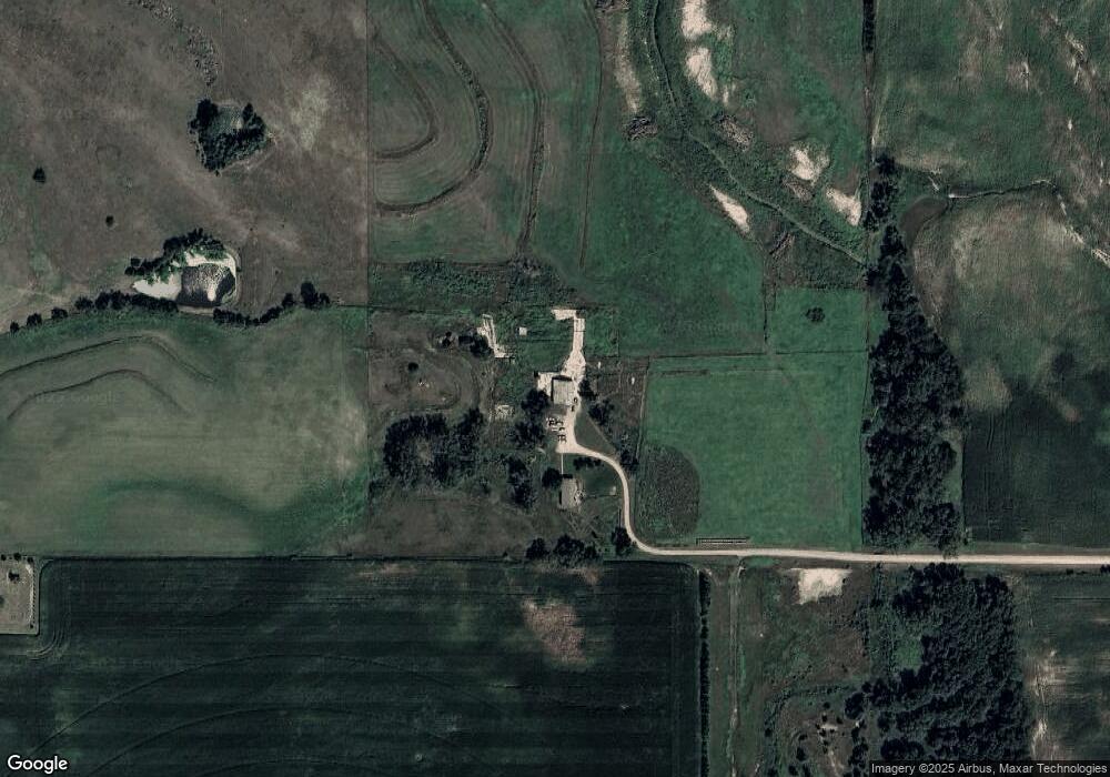
Map
Nearby Homes
- 4801 N Deer Run Dr
- 2711 N 47th Cir
- 2811 N 47th Cir
- 2610 N 47th Cir
- 2710 N 47th Cir
- 2511 N 45th St
- 3605 MacH I Dr
- 3603 MacH I Dr
- 1605 Eldorado Rd
- 3900 Madison Ave
- 3302 MacH 1 Dr
- 3403 Portia Place
- 506 N 34th St
- 803 N 34th St
- 1201 N 34th St
- 1103 N 34th St
- 3304 Stonebrook Ln
- 1405 N 30th St
- 1407 N 30th St
- 3107 Golf View Dr
- 55045 Half Mile Rd
- 55075 843rd Rd
- 84301 550th Ave
- 84345 550th Ave
- 1701 N 61st St
- 55016 Half Mile Rd
- 1707 N 61st St
- 1609 N 61st St
- 611 N 61st St
- 55060 844th Rd
- 55026 844th Rd
- 1614 N 61st St
- 1308 N 61st St
- TBD S 61st St
- 55008 844th Rd
- 603 N 61st St
- 714 N 61st St
- 55051 844th Rd
- 502 N 61st St
- 700 N 61st St