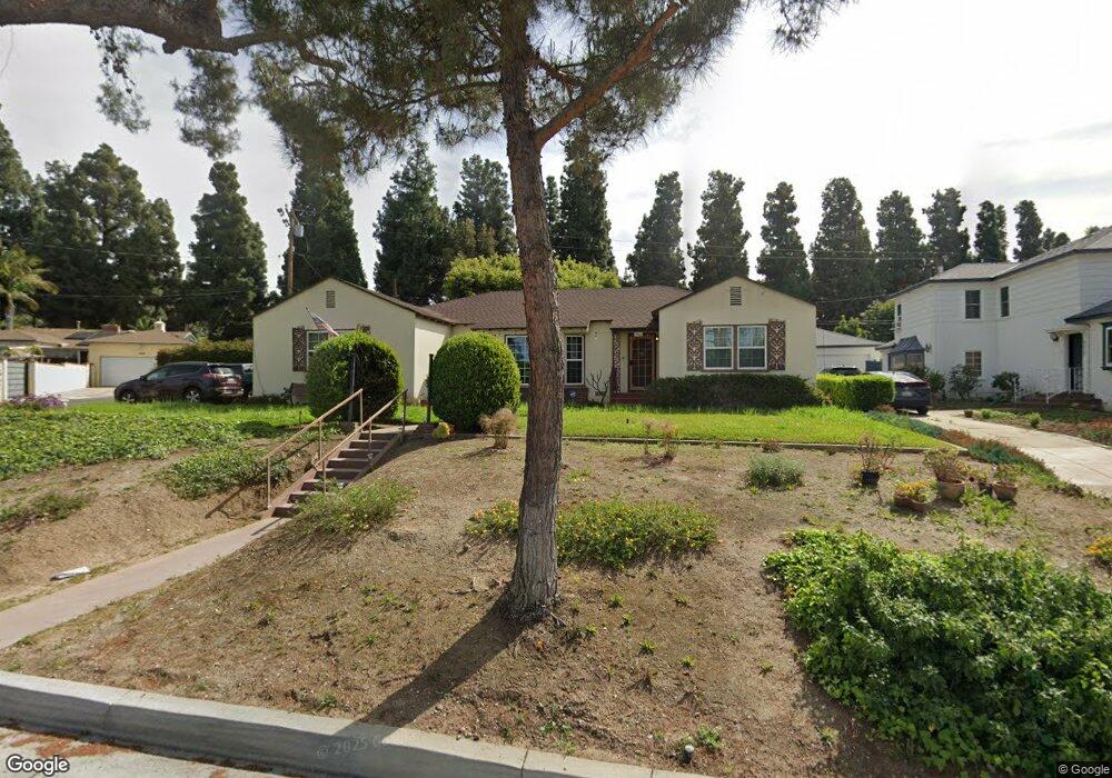
5504 Palm Ave Whittier, CA 90601
West Whittier NeighborhoodEstimated Value: $856,000 - $967,000
2
Beds
2
Baths
1,832
Sq Ft
$495/Sq Ft
Est. Value
About This Home
This home is located at 5504 Palm Ave, Whittier, CA 90601 and is currently estimated at $907,627, approximately $495 per square foot. 5504 Palm Ave is a home located in Los Angeles County with nearby schools including Longfellow Elementary School, Walter F. Dexter Middle School, and Whittier High School.
Ownership History
Date
Name
Owned For
Owner Type
Purchase Details
Closed on
Mar 26, 2014
Sold by
Mack Charles Chester
Bought by
Mack Family Trust
Current Estimated Value
Purchase Details
Closed on
Jun 12, 1995
Sold by
Mazmanian Serko and Mazmanian Hripsime
Bought by
Mack Charles Chester
Home Financials for this Owner
Home Financials are based on the most recent Mortgage that was taken out on this home.
Original Mortgage
$164,250
Interest Rate
7.63%
Create a Home Valuation Report for This Property
The Home Valuation Report is an in-depth analysis detailing your home's value as well as a comparison with similar homes in the area
Home Values in the Area
Average Home Value in this Area
Purchase History
| Date | Buyer | Sale Price | Title Company |
|---|---|---|---|
| Mack Family Trust | -- | None Available | |
| Mack Charles Chester | $182,500 | North American Title Co |
Source: Public Records
Mortgage History
| Date | Status | Borrower | Loan Amount |
|---|---|---|---|
| Previous Owner | Mack Charles Chester | $164,250 |
Source: Public Records
Tax History Compared to Growth
Tax History
| Year | Tax Paid | Tax Assessment Tax Assessment Total Assessment is a certain percentage of the fair market value that is determined by local assessors to be the total taxable value of land and additions on the property. | Land | Improvement |
|---|---|---|---|---|
| 2025 | $4,083 | $303,153 | $154,980 | $148,173 |
| 2024 | $4,083 | $297,210 | $151,942 | $145,268 |
| 2023 | $4,048 | $291,383 | $148,963 | $142,420 |
| 2022 | $4,021 | $285,671 | $146,043 | $139,628 |
| 2021 | $3,864 | $280,071 | $143,180 | $136,891 |
| 2019 | $3,809 | $271,766 | $138,934 | $132,832 |
| 2018 | $3,618 | $266,438 | $136,210 | $130,228 |
| 2016 | $3,459 | $256,094 | $130,922 | $125,172 |
| 2015 | $3,445 | $252,248 | $128,956 | $123,292 |
| 2014 | $3,362 | $247,307 | $126,430 | $120,877 |
Source: Public Records
Map
Nearby Homes
- 5518 Norwalk Blvd
- 11511 Beverly Dr
- 11302 Maple St
- 5315 Bihr Ct
- 5307 Woodward Ln
- 11759 S Circle Dr
- 10605 Cordoba Ct
- 5115 Castelotte Ct
- 11905 Mendenhall Ln
- 11840 Nixon Ln
- 5107 Vista Verde Way
- 12031 Beverly Blvd Unit 1D
- 11273 Dorland Dr
- 11447 Broadway Ave
- 11232 Dorland Dr
- 5903 Redman Ave
- 12417 Rose Dr
- 5840 Citrus Ave
- 6225 Gretna Ave
- 5655 Pickering Ave
- 5512 Palm Ave
- 11528 Beverly Blvd
- 11534 Beverly Blvd
- 11342 Indiana St
- 11520 Beverly Blvd
- 11347 Illinois St
- 11542 Beverly Blvd
- 11343 Indiana St
- 11336 Indiana St
- 5524 Palm Ave
- 11343 Illinois St
- 11548 Beverly Blvd
- 11337 Indiana St
- 11508 Beverly Blvd
- 11332 Indiana St
- 5461 Palm Ave
- 5530 Palm Ave
- 11337 Illinois St
- 11348 Illinois St
- 11554 Beverly Blvd