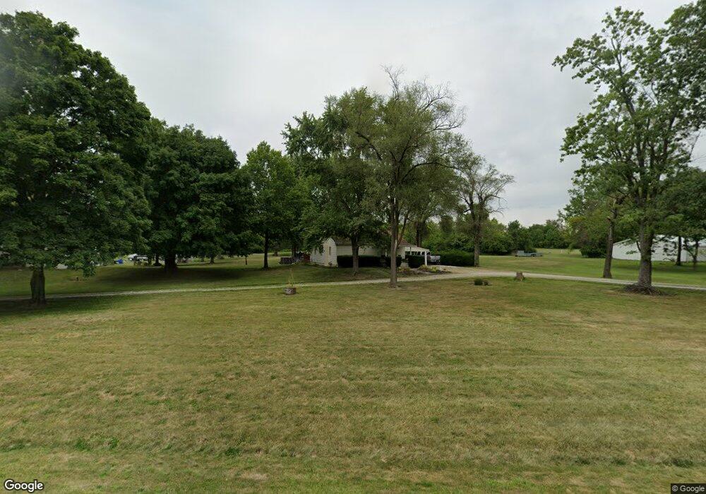
5506 Groveport Rd Groveport, OH 43125
Estimated Value: $242,000 - $322,769
2
Beds
1
Bath
1,152
Sq Ft
$239/Sq Ft
Est. Value
About This Home
This home is located at 5506 Groveport Rd, Groveport, OH 43125 and is currently estimated at $275,442, approximately $239 per square foot. 5506 Groveport Rd is a home located in Franklin County with nearby schools including Groveport Madison High School, Groveport Community School, and Madison Christian School.
Ownership History
Date
Name
Owned For
Owner Type
Purchase Details
Closed on
Dec 30, 2021
Sold by
Stokes James H
Bought by
Foreman Jason
Current Estimated Value
Home Financials for this Owner
Home Financials are based on the most recent Mortgage that was taken out on this home.
Original Mortgage
$250,000
Outstanding Balance
$230,225
Interest Rate
3.05%
Mortgage Type
New Conventional
Estimated Equity
$45,217
Purchase Details
Closed on
Oct 11, 1972
Bought by
Stokes James
Create a Home Valuation Report for This Property
The Home Valuation Report is an in-depth analysis detailing your home's value as well as a comparison with similar homes in the area
Home Values in the Area
Average Home Value in this Area
Purchase History
| Date | Buyer | Sale Price | Title Company |
|---|---|---|---|
| Foreman Jason | $280,000 | New Title Company Name | |
| Stokes James | -- | -- |
Source: Public Records
Mortgage History
| Date | Status | Borrower | Loan Amount |
|---|---|---|---|
| Open | Foreman Jason | $250,000 |
Source: Public Records
Tax History Compared to Growth
Tax History
| Year | Tax Paid | Tax Assessment Tax Assessment Total Assessment is a certain percentage of the fair market value that is determined by local assessors to be the total taxable value of land and additions on the property. | Land | Improvement |
|---|---|---|---|---|
| 2024 | $2,406 | $49,920 | $16,420 | $33,500 |
| 2023 | $2,385 | $49,910 | $16,415 | $33,495 |
| 2022 | $2,273 | $37,840 | $11,550 | $26,290 |
| 2021 | $1,754 | $37,840 | $11,550 | $26,290 |
| 2020 | $1,758 | $37,840 | $11,550 | $26,290 |
| 2019 | $1,574 | $31,680 | $9,630 | $22,050 |
| 2018 | $1,617 | $31,680 | $9,630 | $22,050 |
| 2017 | $1,611 | $31,680 | $9,630 | $22,050 |
| 2016 | $1,636 | $30,210 | $9,350 | $20,860 |
| 2015 | $1,651 | $30,210 | $9,350 | $20,860 |
| 2014 | $1,553 | $30,210 | $9,350 | $20,860 |
| 2013 | $710 | $31,780 | $9,835 | $21,945 |
Source: Public Records
Map
Nearby Homes
- 5298 Knight St
- 303 Madison St
- 199 Mohr Ave
- 250 Green Ave
- 430 Maple St
- 218-222 Center St
- 3450 Rohr Rd
- 3463 Rohr Rd
- 287 College St
- 3515 Rohr Rd
- 3461 Rohr Rd
- 135 Front St
- 4822 Elmont Place
- 213 Front St
- 2715 Buggywhip Ln
- 2620 Millview Dr
- 0 Pontius Rd
- 0 Alum Creek Dr Unit 225007823
- 2318 Rodger Rd
- 4310 Charlotte Rd
- 5506 Groveport Rd
- 5500 Groveport Rd
- 5616 Groveport Rd
- 5460 Groveport Rd
- 5456 Groveport Rd
- 5454 Groveport Rd
- 5250 Swisher Rd
- 5447 Groveport Rd
- 5450 Groveport Rd
- 5256 Swisher Rd
- 5262 Swisher Rd
- 5270 Swisher Rd
- 3412 Lauren Fields Dr N
- 3428 Lauren Fields Dr N
- 3444 Lauren Fields Dr N
- 3436 Lauren Fields Dr N
- 3404 Lauren Fields Dr N
- 5440 Groveport Rd
- 3396 Lauren Fields Dr N
- 5300 Swisher Rd