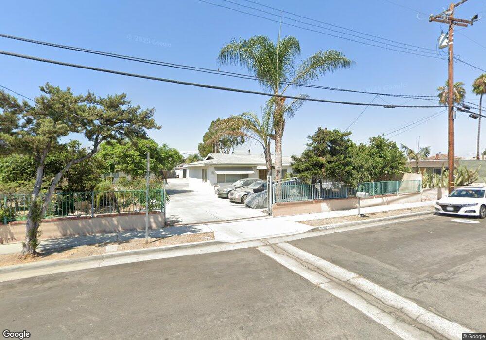
5507 Silver Dr Santa Ana, CA 92703
Little Saigon NeighborhoodEstimated Value: $1,120,000 - $1,744,010
13
Beds
1
Bath
5,322
Sq Ft
$253/Sq Ft
Est. Value
About This Home
This home is located at 5507 Silver Dr, Santa Ana, CA 92703 and is currently estimated at $1,347,503, approximately $253 per square foot. 5507 Silver Dr is a home located in Orange County with nearby schools including Post Elementary, James Irvine Intermediate School, and La Quinta High School.
Ownership History
Date
Name
Owned For
Owner Type
Purchase Details
Closed on
Sep 23, 2005
Sold by
Fukuyama Etsuro
Bought by
Fukuyama Etsuro and Fukuyama Miwa
Current Estimated Value
Purchase Details
Closed on
Nov 10, 2003
Sold by
Todd Clara
Bought by
Fukuyama Etsuro
Home Financials for this Owner
Home Financials are based on the most recent Mortgage that was taken out on this home.
Original Mortgage
$290,000
Outstanding Balance
$116,721
Interest Rate
4.12%
Mortgage Type
New Conventional
Estimated Equity
$1,230,782
Purchase Details
Closed on
Nov 7, 2003
Sold by
Fukuyama Miwa
Bought by
Fukuyama Etsuro
Home Financials for this Owner
Home Financials are based on the most recent Mortgage that was taken out on this home.
Original Mortgage
$290,000
Outstanding Balance
$116,721
Interest Rate
4.12%
Mortgage Type
New Conventional
Estimated Equity
$1,230,782
Purchase Details
Closed on
Feb 5, 1995
Sold by
Dowling Gerald W and Dowling Madge L
Bought by
Dowling Madge L
Create a Home Valuation Report for This Property
The Home Valuation Report is an in-depth analysis detailing your home's value as well as a comparison with similar homes in the area
Home Values in the Area
Average Home Value in this Area
Purchase History
| Date | Buyer | Sale Price | Title Company |
|---|---|---|---|
| Fukuyama Etsuro | -- | -- | |
| Fukuyama Etsuro | $490,000 | Chicago Title | |
| Fukuyama Etsuro | -- | Chicago Title | |
| Dowling Madge L | -- | -- |
Source: Public Records
Mortgage History
| Date | Status | Borrower | Loan Amount |
|---|---|---|---|
| Open | Fukuyama Etsuro | $290,000 |
Source: Public Records
Tax History Compared to Growth
Tax History
| Year | Tax Paid | Tax Assessment Tax Assessment Total Assessment is a certain percentage of the fair market value that is determined by local assessors to be the total taxable value of land and additions on the property. | Land | Improvement |
|---|---|---|---|---|
| 2025 | $7,509 | $696,668 | $623,834 | $72,834 |
| 2024 | $7,509 | $683,008 | $611,602 | $71,406 |
| 2023 | $7,379 | $669,616 | $599,610 | $70,006 |
| 2022 | $7,225 | $656,487 | $587,853 | $68,634 |
| 2021 | $7,154 | $643,615 | $576,326 | $67,289 |
| 2020 | $7,056 | $637,016 | $570,416 | $66,600 |
| 2019 | $6,911 | $624,526 | $559,231 | $65,295 |
| 2018 | $6,768 | $612,281 | $548,266 | $64,015 |
| 2017 | $6,677 | $600,276 | $537,516 | $62,760 |
| 2016 | $6,370 | $588,506 | $526,976 | $61,530 |
| 2015 | $6,282 | $579,667 | $519,061 | $60,606 |
| 2014 | $6,125 | $568,313 | $508,894 | $59,419 |
Source: Public Records
Map
Nearby Homes
- 5317 Silver Dr
- 5405 W 4th St
- 10886 Lotus Dr
- 812 N Euclid St
- 14356 Taft St
- 13322 Euclid St
- 14376 Euclid St Unit 1-4
- 323 N Euclid St Unit 99
- 4832 W 5th St Unit B
- 5132 W 1st St Unit B
- 5112 W 1st St Unit C
- 10632 Henderson Ave
- 5114 W 1st St Unit C
- 14151 Lake St
- 10581 Davit Ave
- 4518 W 1st St
- 10562 Davit Ave
- 615 S Euclid St
- 1609 N Parsons Place
- 14171 Flower St
- 5517 Silver Dr
- 5510 Roosevelt Ave
- 5514 Roosevelt Ave
- 5506 Roosevelt Ave
- 5502 Roosevelt Ave
- 14681 Taft St
- 520 N Cooper St
- 5518 Roosevelt Ave
- 5421 Silver Dr
- 5520 Roosevelt Ave
- 5426 Roosevelt Ave
- 510 N Cooper St
- 5521 Silver Dr
- 5502 Silver Dr
- 5422 Roosevelt Ave
- 14671 Taft St
- 5424 Silver Dr
- 5522 Silver Dr
- 14661 Taft St
- 5413 Silver Dr