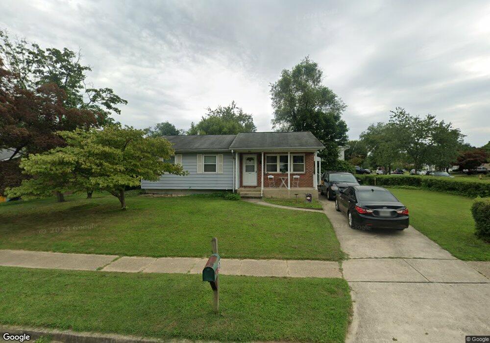
551 Kenora Dr Millersville, MD 21108
Estimated Value: $392,000 - $466,000
--
Bed
2
Baths
1,272
Sq Ft
$335/Sq Ft
Est. Value
About This Home
This home is located at 551 Kenora Dr, Millersville, MD 21108 and is currently estimated at $426,408, approximately $335 per square foot. 551 Kenora Dr is a home located in Anne Arundel County with nearby schools including Rippling Woods Elementary School, Old Mill Middle School North, and Old Mill High School.
Ownership History
Date
Name
Owned For
Owner Type
Purchase Details
Closed on
Jan 19, 2007
Sold by
Murray David W
Bought by
Patnode Michael J and May Susan R
Current Estimated Value
Home Financials for this Owner
Home Financials are based on the most recent Mortgage that was taken out on this home.
Original Mortgage
$256,000
Outstanding Balance
$146,860
Interest Rate
5.5%
Mortgage Type
Purchase Money Mortgage
Estimated Equity
$279,548
Purchase Details
Closed on
Jan 2, 2007
Sold by
Murray David W
Bought by
Patnode Michael J and May Susan R
Home Financials for this Owner
Home Financials are based on the most recent Mortgage that was taken out on this home.
Original Mortgage
$256,000
Outstanding Balance
$146,860
Interest Rate
5.5%
Mortgage Type
Purchase Money Mortgage
Estimated Equity
$279,548
Create a Home Valuation Report for This Property
The Home Valuation Report is an in-depth analysis detailing your home's value as well as a comparison with similar homes in the area
Home Values in the Area
Average Home Value in this Area
Purchase History
| Date | Buyer | Sale Price | Title Company |
|---|---|---|---|
| Patnode Michael J | $320,000 | -- | |
| Patnode Michael J | $320,000 | -- |
Source: Public Records
Mortgage History
| Date | Status | Borrower | Loan Amount |
|---|---|---|---|
| Open | Patnode Michael J | $256,000 | |
| Closed | Patnode Michael J | $256,000 |
Source: Public Records
Tax History Compared to Growth
Tax History
| Year | Tax Paid | Tax Assessment Tax Assessment Total Assessment is a certain percentage of the fair market value that is determined by local assessors to be the total taxable value of land and additions on the property. | Land | Improvement |
|---|---|---|---|---|
| 2025 | $3,485 | $316,033 | -- | -- |
| 2024 | $3,485 | $294,400 | $202,000 | $92,400 |
| 2023 | $2,916 | $288,633 | $0 | $0 |
| 2022 | $3,167 | $282,867 | $0 | $0 |
| 2021 | $3,014 | $277,100 | $177,000 | $100,100 |
| 2020 | $3,014 | $266,300 | $0 | $0 |
| 2019 | $2,959 | $255,500 | $0 | $0 |
| 2018 | $2,481 | $244,700 | $134,300 | $110,400 |
| 2017 | $2,781 | $238,400 | $0 | $0 |
| 2016 | -- | $232,100 | $0 | $0 |
| 2015 | -- | $225,800 | $0 | $0 |
| 2014 | -- | $225,800 | $0 | $0 |
Source: Public Records
Map
Nearby Homes
- 8218 Sherbrooke Ct
- 525 Old Mill Rd
- 518 Kenora Dr
- 529 Chalet Dr W
- 494 Kenilworth Ct
- 8421 Norwood Dr
- 429 Hardmoore Ct
- 2664 Carver Rd
- 565 Belmawr Place
- 462 Aventura Ct
- 326 Eagles Ridge Way
- 584 Brightview Dr
- 8224 Bernard Dr N
- 248 Michele Cir
- 266 Nathan Way
- 258 Nathan Way
- 8283 Longford Rd
- 8281 Longford Rd
- 8279 Longford Rd
- Easton Plan at The Willows
- 8213 Brandon Dr
- 549 Kenora Dr
- 8215 Brandon Dr
- 547 Kenora Dr
- 8209 Brandon Dr
- 8208 Brandon Dr
- 8200 Weyburn Rd
- 8210 Brandon Dr
- 8217 Brandon Dr
- 545 Kenora Dr
- 8212 Brandon Dr
- 8207 Brandon Dr
- 8204 Brandon Dr
- 8198 Weyburn Rd
- 544 Kenora Dr
- 8219 Brandon Dr
- 543 Kenora Dr
- 8214 Brandon Dr
- 8205 Brandon Dr
- 8199 Weyburn Rd