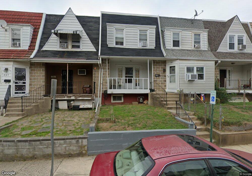
551 Littlecroft Rd Upper Darby, PA 19082
Estimated Value: $133,000 - $158,000
3
Beds
1
Bath
1,093
Sq Ft
$132/Sq Ft
Est. Value
About This Home
This home is located at 551 Littlecroft Rd, Upper Darby, PA 19082 and is currently estimated at $144,401, approximately $132 per square foot. 551 Littlecroft Rd is a home located in Delaware County with nearby schools including Upper Darby Kdg Center, Upper Darby High School, and Philadelphia Christian Academy.
Ownership History
Date
Name
Owned For
Owner Type
Purchase Details
Closed on
Apr 22, 2005
Sold by
Ward Darlene and Ward Thomas J
Bought by
Ward Darlene
Current Estimated Value
Home Financials for this Owner
Home Financials are based on the most recent Mortgage that was taken out on this home.
Original Mortgage
$48,750
Outstanding Balance
$24,270
Interest Rate
5.24%
Mortgage Type
Purchase Money Mortgage
Estimated Equity
$120,131
Purchase Details
Closed on
Dec 13, 2002
Sold by
Hovanessian Jack Hgop
Bought by
Mckee Michael E and Mckee Elizabeth L
Home Financials for this Owner
Home Financials are based on the most recent Mortgage that was taken out on this home.
Original Mortgage
$34,200
Interest Rate
6.17%
Mortgage Type
Purchase Money Mortgage
Create a Home Valuation Report for This Property
The Home Valuation Report is an in-depth analysis detailing your home's value as well as a comparison with similar homes in the area
Home Values in the Area
Average Home Value in this Area
Purchase History
| Date | Buyer | Sale Price | Title Company |
|---|---|---|---|
| Ward Darlene | $53,109 | Stewart Title Guaranty Compa | |
| Mckee Michael E | $38,000 | -- |
Source: Public Records
Mortgage History
| Date | Status | Borrower | Loan Amount |
|---|---|---|---|
| Open | Ward Darlene | $48,750 | |
| Previous Owner | Mckee Michael E | $34,200 |
Source: Public Records
Tax History Compared to Growth
Tax History
| Year | Tax Paid | Tax Assessment Tax Assessment Total Assessment is a certain percentage of the fair market value that is determined by local assessors to be the total taxable value of land and additions on the property. | Land | Improvement |
|---|---|---|---|---|
| 2025 | $2,791 | $65,990 | $13,640 | $52,350 |
| 2024 | $2,791 | $65,990 | $13,640 | $52,350 |
| 2023 | $2,765 | $65,990 | $13,640 | $52,350 |
| 2022 | $2,690 | $65,990 | $13,640 | $52,350 |
| 2021 | $3,627 | $65,990 | $13,640 | $52,350 |
| 2020 | $2,727 | $42,150 | $12,400 | $29,750 |
| 2019 | $2,679 | $42,150 | $12,400 | $29,750 |
| 2018 | $2,648 | $42,150 | $0 | $0 |
| 2017 | $2,579 | $42,150 | $0 | $0 |
| 2016 | $231 | $42,150 | $0 | $0 |
| 2015 | $236 | $42,150 | $0 | $0 |
| 2014 | $236 | $42,150 | $0 | $0 |
Source: Public Records
Map
Nearby Homes
- 504 Woodcliffe Rd
- 506 Hampden Rd
- 535 Glendale Rd
- 513 Woodcliffe Rd
- 424 Woodcliffe Rd
- 418 Hampden Rd
- 346 Long Ln
- 607 Littlecroft Rd
- 414 Glendale Rd
- 558 Snowden Rd
- 432 Grace Rd
- 517 Wiltshire Rd
- 404 Croyden Rd
- 669 Long Ln
- 351 Long Ln
- 7155 Radbourne Rd
- 7216 Clinton Rd
- 7114 Locust St
- 6982 Clinton Rd
- 7249 Guilford Rd
- 561 Littlecroft Rd
- 559 Littlecroft Rd
- 557 Littlecroft Rd
- 555 Littlecroft Rd
- 553 Littlecroft Rd
- 549 Littlecroft Rd
- 547 Littlecroft Rd
- 545 Littlecroft Rd
- 543 Littlecroft Rd
- 541 Littlecroft Rd
- 539 Littlecroft Rd
- 537 Littlecroft Rd
- 517 Littlecroft Rd
- 515 Littlecroft Rd
- 511 Littlecroft Rd
- 509 Littlecroft Rd
- 507 Littlecroft Rd
- 505 Littlecroft Rd
- 503 Littlecroft Rd
- 501 Littlecroft Rd