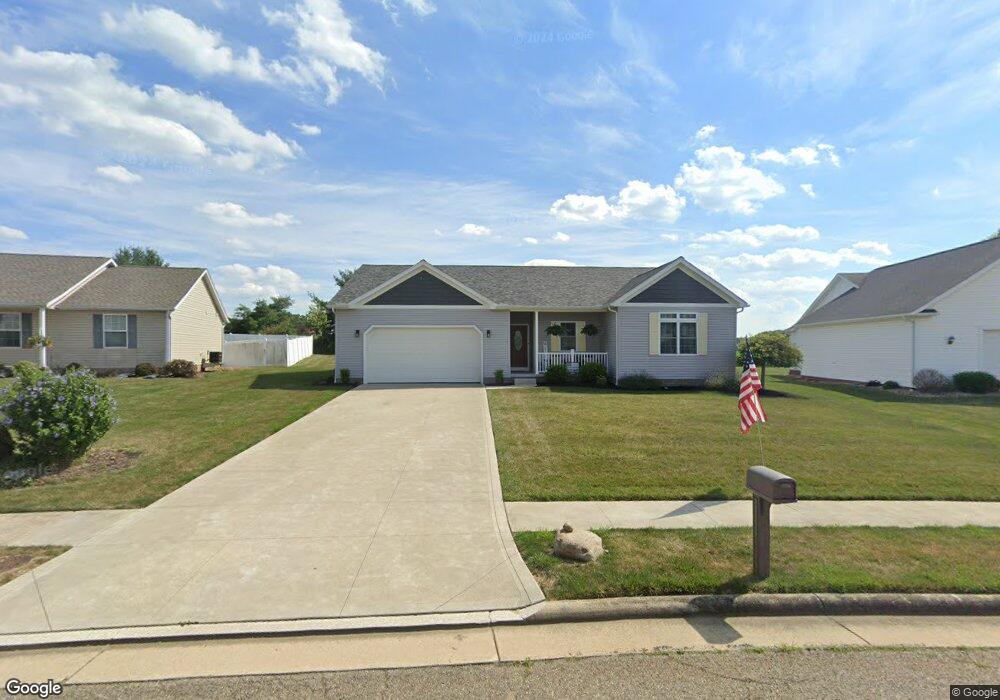
552 Chadsworth Ct Louisville, OH 44641
Estimated Value: $322,000 - $376,000
3
Beds
2
Baths
1,758
Sq Ft
$194/Sq Ft
Est. Value
About This Home
This home is located at 552 Chadsworth Ct, Louisville, OH 44641 and is currently estimated at $340,240, approximately $193 per square foot. 552 Chadsworth Ct is a home located in Stark County with nearby schools including Louisville High School and St. Thomas Aquinas High School & Middle School.
Ownership History
Date
Name
Owned For
Owner Type
Purchase Details
Closed on
Mar 22, 2019
Sold by
Mark Homes Llc
Bought by
Steed Roy A
Current Estimated Value
Home Financials for this Owner
Home Financials are based on the most recent Mortgage that was taken out on this home.
Original Mortgage
$211,375
Outstanding Balance
$185,835
Interest Rate
4.4%
Mortgage Type
New Conventional
Estimated Equity
$154,405
Purchase Details
Closed on
Dec 22, 2016
Sold by
Wood Stanley P
Bought by
Mark Homes Llc
Purchase Details
Closed on
May 9, 2011
Sold by
Firstmerit Bank Na
Bought by
Wood Stanley P
Purchase Details
Closed on
Dec 18, 2009
Sold by
Alpine Design & Development Corp
Bought by
Firstmerit Bank Na
Purchase Details
Closed on
Dec 12, 2003
Sold by
C & M Development Inc
Bought by
Alpine Design & Development Corp
Home Financials for this Owner
Home Financials are based on the most recent Mortgage that was taken out on this home.
Original Mortgage
$1,610,000
Interest Rate
6.01%
Mortgage Type
Purchase Money Mortgage
Create a Home Valuation Report for This Property
The Home Valuation Report is an in-depth analysis detailing your home's value as well as a comparison with similar homes in the area
Home Values in the Area
Average Home Value in this Area
Purchase History
| Date | Buyer | Sale Price | Title Company |
|---|---|---|---|
| Steed Roy A | $222,500 | Patriot Title Agency Inc | |
| Mark Homes Llc | $20,000 | None Available | |
| Wood Stanley P | -- | Attorney | |
| Firstmerit Bank Na | $18,000 | Attorney | |
| Alpine Design & Development Corp | $1,610,000 | Land America/Lawyers Title |
Source: Public Records
Mortgage History
| Date | Status | Borrower | Loan Amount |
|---|---|---|---|
| Open | Steed Roy A | $211,375 | |
| Previous Owner | Alpine Design & Development Corp | $1,610,000 |
Source: Public Records
Tax History Compared to Growth
Tax History
| Year | Tax Paid | Tax Assessment Tax Assessment Total Assessment is a certain percentage of the fair market value that is determined by local assessors to be the total taxable value of land and additions on the property. | Land | Improvement |
|---|---|---|---|---|
| 2025 | -- | $108,750 | $18,130 | $90,620 |
| 2024 | -- | $108,750 | $18,130 | $90,620 |
| 2023 | $3,523 | $82,010 | $13,900 | $68,110 |
| 2022 | $3,530 | $82,010 | $13,900 | $68,110 |
| 2021 | $3,540 | $82,010 | $13,900 | $68,110 |
| 2020 | $2,913 | $73,290 | $12,530 | $60,760 |
| 2019 | $3,002 | $9,350 | $9,350 | $0 |
| 2018 | $388 | $9,350 | $9,350 | $0 |
| 2017 | $261 | $6,020 | $6,020 | $0 |
| 2016 | $266 | $6,020 | $6,020 | $0 |
| 2015 | $267 | $6,020 | $6,020 | $0 |
| 2014 | $303 | $6,370 | $6,370 | $0 |
| 2013 | $154 | $6,370 | $6,370 | $0 |
Source: Public Records
Map
Nearby Homes
- 1702 View Pointe Ave
- 1639 Horizon Dr
- 908 Sand Lot Cir
- 822 Sand Lot Cir
- 6969 Georgetown St NE
- 510 S Bauman Ct
- 204 E Broad St
- 107 E Broad St
- 728 E Broad St
- 520 S Silver St
- 2425 Miday Ave NE
- 641 S Nickelplate St
- 8225 Georgetown St
- 201 Indiana Ave
- 4060 Hambleton Ave NE
- 308 Superior St
- 6416 15th St NE
- 248 Menegay Rd
- 325 Lincoln Ave
- 1715 High St
- 562 Chadsworth St
- 534 Chadsworth St
- 549 Chadsworth St
- 574 Chadsworth St
- 571 Chadsworth St
- 9999 Chadsworth St NE
- 2012 Liberty Dr NE
- 1855 Vantage Dr
- 1865 Vantage Dr
- 1845 Vantage Dr
- 1828 Vantage Dr
- 1835 Vantage Dr
- 512 Declaration Ct
- 1984 Liberty Dr NE
- 1808 Vantage Dr
- 1825 Vantage Dr
- 502 Declaration Ct
- 1972 Liberty Dr NE
- 3689 Declaration Ct
- 0 Vantage Dr NE Unit 3948724