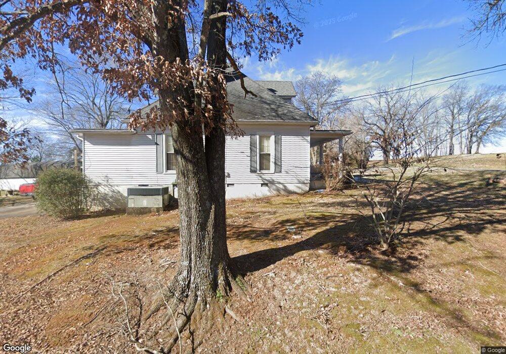
5520 Starks Rd Cross Plains, TN 37049
Estimated Value: $154,000 - $432,000
--
Bed
2
Baths
1,824
Sq Ft
$158/Sq Ft
Est. Value
About This Home
This home is located at 5520 Starks Rd, Cross Plains, TN 37049 and is currently estimated at $288,770, approximately $158 per square foot. 5520 Starks Rd is a home located in Robertson County with nearby schools including East Robertson Elementary School and East Robertson High School.
Ownership History
Date
Name
Owned For
Owner Type
Purchase Details
Closed on
Apr 22, 1999
Sold by
Myshrall Daniel E
Bought by
Wayne Norman Kenneth
Current Estimated Value
Home Financials for this Owner
Home Financials are based on the most recent Mortgage that was taken out on this home.
Original Mortgage
$117,229
Outstanding Balance
$29,734
Interest Rate
7.06%
Estimated Equity
$259,036
Purchase Details
Closed on
Jun 26, 1990
Bought by
Myshrall Daniel E & Citizens & Southern
Purchase Details
Closed on
Sep 15, 1972
Bought by
Scott Benny C and Scott Evelyn A
Create a Home Valuation Report for This Property
The Home Valuation Report is an in-depth analysis detailing your home's value as well as a comparison with similar homes in the area
Home Values in the Area
Average Home Value in this Area
Purchase History
| Date | Buyer | Sale Price | Title Company |
|---|---|---|---|
| Wayne Norman Kenneth | $118,000 | -- | |
| Myshrall Daniel E & Citizens & Southern | $68,000 | -- | |
| Scott Benny C | -- | -- |
Source: Public Records
Mortgage History
| Date | Status | Borrower | Loan Amount |
|---|---|---|---|
| Open | Scott Benny C | $117,229 |
Source: Public Records
Tax History Compared to Growth
Tax History
| Year | Tax Paid | Tax Assessment Tax Assessment Total Assessment is a certain percentage of the fair market value that is determined by local assessors to be the total taxable value of land and additions on the property. | Land | Improvement |
|---|---|---|---|---|
| 2024 | $74 | $4,100 | $4,100 | $0 |
| 2023 | $74 | $4,100 | $4,100 | $0 |
| 2022 | $64 | $2,500 | $2,500 | $0 |
| 2021 | $64 | $2,500 | $2,500 | $0 |
| 2020 | $64 | $2,500 | $2,500 | $0 |
| 2019 | $64 | $2,500 | $2,500 | $0 |
| 2018 | $64 | $2,500 | $2,500 | $0 |
| 2017 | $86 | $2,775 | $2,775 | $0 |
| 2016 | $86 | $2,775 | $2,775 | $0 |
| 2015 | $82 | $2,775 | $2,775 | $0 |
| 2014 | $82 | $2,775 | $2,775 | $0 |
Source: Public Records
Map
Nearby Homes
- 8637 Tennessee 52
- 0 Payne Rd Extension Unit RTC2898325
- 0 Jimson Rd
- 6485 Highland Rd
- 0 Bill Anderson Rd
- 8283 Highway 52
- 4984 Somerville Rd
- 6016 Highland Rd
- 5300 Highway 31 W
- 135 Old Highway 52 W
- 9416 Shady Park Rd
- 3019 Friendship Rd
- 8127 Pleasant Hill Rd
- 8044 Pleasant Hill Rd
- 1202 Tennessee 52
- 6400 Williams Rd
- 6400 Williams Rd
- 0 State Route 52
- 2671 Friendship Rd
- 4706 Rock House Rd
- 5500 Starks Rd
- 5500 Starks Rd
- 8679 Highway 52
- 5480 Payne Rd
- 9050 Highway 52
- 8736 Highway 52
- 8653 Highway 52
- 8607 Highway 52
- 8633 Highway 52
- 8609 Highway 52
- 8661 Highway 52
- 8661 Highway 52
- 8609 Highway 52
- 8633 Highway 52
- 5448 Starks Rd
- 8645 Highway 52
- 8774 Highway 52
- 8769 Byrums Chapel Rd
- 8627 Tennessee 52
- 8623 Tennessee 52