5525 Cushing Ave SW Waverly, MN 55390
Estimated Value: $437,000 - $668,736
2
Beds
2
Baths
1,422
Sq Ft
$365/Sq Ft
Est. Value
About This Home
This home is located at 5525 Cushing Ave SW, Waverly, MN 55390 and is currently estimated at $519,579, approximately $365 per square foot. 5525 Cushing Ave SW is a home located in Wright County with nearby schools including Humphrey Elementary School, Winsted Elementary School, and Howard Lake-Waverly-Winsted Middle School.
Ownership History
Date
Name
Owned For
Owner Type
Purchase Details
Closed on
Aug 4, 2015
Sold by
Duske Clifford Clifford
Bought by
Duske Garret Garret
Current Estimated Value
Home Financials for this Owner
Home Financials are based on the most recent Mortgage that was taken out on this home.
Original Mortgage
$57,360
Outstanding Balance
$45,037
Interest Rate
3.98%
Estimated Equity
$474,543
Create a Home Valuation Report for This Property
The Home Valuation Report is an in-depth analysis detailing your home's value as well as a comparison with similar homes in the area
Home Values in the Area
Average Home Value in this Area
Purchase History
| Date | Buyer | Sale Price | Title Company |
|---|---|---|---|
| Duske Garret Garret | $57,400 | -- |
Source: Public Records
Mortgage History
| Date | Status | Borrower | Loan Amount |
|---|---|---|---|
| Open | Duske Garret Garret | $57,360 |
Source: Public Records
Tax History Compared to Growth
Tax History
| Year | Tax Paid | Tax Assessment Tax Assessment Total Assessment is a certain percentage of the fair market value that is determined by local assessors to be the total taxable value of land and additions on the property. | Land | Improvement |
|---|---|---|---|---|
| 2025 | $2,976 | $603,600 | $365,200 | $238,400 |
| 2024 | $2,992 | $582,700 | $353,700 | $229,000 |
| 2023 | $2,758 | $579,500 | $345,900 | $233,600 |
| 2022 | $2,922 | $490,500 | $283,700 | $206,800 |
| 2021 | $2,804 | $442,700 | $251,700 | $191,000 |
| 2020 | $2,636 | $405,700 | $221,000 | $184,700 |
| 2019 | $2,594 | $155,200 | $0 | $0 |
| 2018 | $2,236 | $206,600 | $0 | $0 |
| 2017 | $2,438 | $338,300 | $0 | $0 |
| 2016 | $2,298 | $0 | $0 | $0 |
| 2015 | $2,176 | $0 | $0 | $0 |
| 2014 | -- | $0 | $0 | $0 |
Source: Public Records
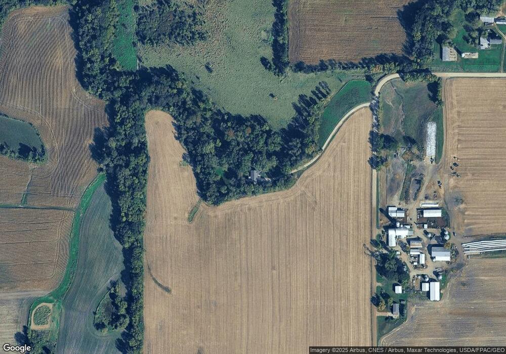
Map
Nearby Homes
- 2002 Apple Ln
- 2105 Birch Ln
- 2008 Apple Ln
- 2010 Apple Ln
- 2113 Birch Ln
- 204 Wilson St
- 6502 Dale Cir SW
- 1023 White Tail Ln
- 1026 White Tail Ln
- 6507 Dale Cir SW
- 995 Fox Ave
- 419 66th St SW
- 151 Garner Cir
- 140 Garner Cir
- 331 Bavaria Ln
- 1766 US Highway 12 SW
- 1011 Alexander Ct
- XX Sect-05 Twp-118 Range-026
- 424 Wildflower Ct
- 408 Atlantic Ave
- 5700 Cushing Ave SW
- 5742 Cushing Ave SW
- 2909 58th St SW
- xxx Hwy 12
- 5877 Dempsey Ave SW
- xxxA Dempsey St SW
- 2593 55th St SW
- 5939 Dempsey Ave SW
- 3122 Us Highway 12 SW
- 5616 Dempsey Ave SW
- 5193 Crofoot Ave SW
- 2909 Us Highway 12 SW
- 6000 Dempsey Ave SW
- 5503 Dempsey Ave SW
- 5547 Dempsey Ave SW
- 5479 Dempsey Ave SW
- 6067 Dempsey Ave SW
- 5573 Dempsey Ave SW
- 5451 Dempsey Ave SW
- 310 61st St SW