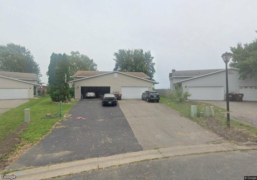
553 Kendall Dr Hastings, MN 55033
Hastings-Marshan Township NeighborhoodEstimated Value: $260,000 - $296,277
3
Beds
2
Baths
912
Sq Ft
$297/Sq Ft
Est. Value
About This Home
This home is located at 553 Kendall Dr, Hastings, MN 55033 and is currently estimated at $271,319, approximately $297 per square foot. 553 Kendall Dr is a home located in Dakota County with nearby schools including Kennedy Elementary School, Hastings Middle School, and Hastings High School.
Ownership History
Date
Name
Owned For
Owner Type
Purchase Details
Closed on
Jun 16, 2017
Sold by
Marie Christina Marie and Teeter Joshua M
Bought by
Teeter Joshua M
Current Estimated Value
Home Financials for this Owner
Home Financials are based on the most recent Mortgage that was taken out on this home.
Original Mortgage
$135,200
Outstanding Balance
$112,118
Interest Rate
3.91%
Mortgage Type
New Conventional
Estimated Equity
$159,201
Purchase Details
Closed on
Apr 27, 2007
Sold by
Mills Nathan and Mills Heather
Bought by
Teeter Christina and Teeter Joshua
Purchase Details
Closed on
Aug 29, 2003
Sold by
Bryan William M and Bryan Heidi E
Bought by
White Heather L and Mills Nathan D
Purchase Details
Closed on
Apr 11, 1996
Sold by
Cir Homes Inc
Bought by
Bryan William M and Bryan Heidi E
Create a Home Valuation Report for This Property
The Home Valuation Report is an in-depth analysis detailing your home's value as well as a comparison with similar homes in the area
Home Values in the Area
Average Home Value in this Area
Purchase History
| Date | Buyer | Sale Price | Title Company |
|---|---|---|---|
| Teeter Joshua M | -- | Land Title Inc | |
| Teeter Christina | $173,900 | -- | |
| White Heather L | $164,900 | -- | |
| Bryan William M | $81,250 | -- |
Source: Public Records
Mortgage History
| Date | Status | Borrower | Loan Amount |
|---|---|---|---|
| Open | Teeter Joshua M | $135,200 |
Source: Public Records
Tax History Compared to Growth
Tax History
| Year | Tax Paid | Tax Assessment Tax Assessment Total Assessment is a certain percentage of the fair market value that is determined by local assessors to be the total taxable value of land and additions on the property. | Land | Improvement |
|---|---|---|---|---|
| 2024 | $2,672 | $246,500 | $39,000 | $207,500 |
| 2023 | $2,672 | $243,800 | $39,000 | $204,800 |
| 2022 | $2,216 | $238,000 | $39,000 | $199,000 |
| 2021 | $2,066 | $196,000 | $33,900 | $162,100 |
| 2020 | $2,068 | $183,400 | $32,300 | $151,100 |
| 2019 | $1,940 | $178,300 | $30,700 | $147,600 |
| 2018 | $1,796 | $161,700 | $29,200 | $132,500 |
| 2017 | $1,635 | $147,600 | $27,900 | $119,700 |
| 2016 | $1,634 | $136,700 | $26,000 | $110,700 |
| 2015 | $1,452 | $108,602 | $20,535 | $88,067 |
| 2014 | -- | $96,503 | $19,112 | $77,391 |
| 2013 | -- | $86,039 | $16,736 | $69,303 |
Source: Public Records
Map
Nearby Homes
- 3575 Vermillion St
- 3525 Vermillion St
- 365 Hayes Dr Unit 30
- 235 Tiffany Dr
- 182 Sandpiper Cir
- 3525 Douglas Dr
- 753 Greten Ln
- 3200 Malcolm Ave
- 782 31st St W
- 115 Kinglet Dr
- 4198 Starling Dr
- 2000 Forest St
- 1163 Teal Way
- 1942 Eddy St
- 3125 Village Trail Unit 217
- 3591 Village Way
- 2021 Pine St
- 545 Tuttle Dr
- 416 19th St W
- 2211 Glacier Way
- 555 Kendall Dr
- 551 Kendall Dr
- 557 Kendall Dr
- 549 Kendall Dr
- 559 Kendall Dr
- 547 Kendall Dr
- 561 Kendall Dr
- 545 Kendall Dr
- 543 Kendall Dr
- 563 563 Kendall Dr
- 563 Kendall Dr
- 558 Kendall Dr
- 541 Kendall Dr
- 565 Kendall Dr
- 560 Kendall Dr
- 419 Tiffany Dr
- 539 Kendall Dr
- 567 Kendall Dr
- 421 Tiffany Dr
- 562 Kendall Dr