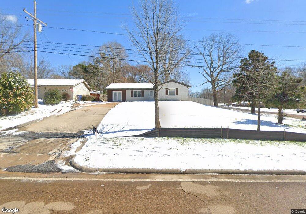
5538 Highway 301 Horn Lake, MS 38637
Estimated Value: $168,608 - $222,000
3
Beds
--
Bath
1,361
Sq Ft
$138/Sq Ft
Est. Value
About This Home
This home is located at 5538 Highway 301, Horn Lake, MS 38637 and is currently estimated at $187,152, approximately $137 per square foot. 5538 Highway 301 is a home located in DeSoto County with nearby schools including Lake Cormorant Elementary School, Horn Lake Intermediate School, and Horn Lake Middle School.
Ownership History
Date
Name
Owned For
Owner Type
Purchase Details
Closed on
Sep 18, 2017
Sold by
Marlin R Little
Bought by
Bevineau Kimberly
Current Estimated Value
Home Financials for this Owner
Home Financials are based on the most recent Mortgage that was taken out on this home.
Original Mortgage
$74,623
Outstanding Balance
$62,114
Interest Rate
3.78%
Estimated Equity
$125,038
Create a Home Valuation Report for This Property
The Home Valuation Report is an in-depth analysis detailing your home's value as well as a comparison with similar homes in the area
Home Values in the Area
Average Home Value in this Area
Purchase History
| Date | Buyer | Sale Price | Title Company |
|---|---|---|---|
| Bevineau Kimberly | -- | -- |
Source: Public Records
Mortgage History
| Date | Status | Borrower | Loan Amount |
|---|---|---|---|
| Open | Bevineau Kimberly | $74,623 | |
| Closed | Bevineau Kimberly | -- |
Source: Public Records
Tax History Compared to Growth
Tax History
| Year | Tax Paid | Tax Assessment Tax Assessment Total Assessment is a certain percentage of the fair market value that is determined by local assessors to be the total taxable value of land and additions on the property. | Land | Improvement |
|---|---|---|---|---|
| 2024 | $718 | $6,634 | $1,500 | $5,134 |
| 2023 | $718 | $6,634 | $0 | $0 |
| 2022 | $712 | $6,553 | $1,500 | $5,053 |
| 2021 | $712 | $6,553 | $1,500 | $5,053 |
| 2020 | $670 | $6,148 | $1,500 | $4,648 |
| 2019 | $670 | $6,148 | $1,500 | $4,648 |
| 2017 | $1,351 | $15,802 | $9,026 | $6,776 |
| 2016 | $1,315 | $9,026 | $2,250 | $6,776 |
| 2015 | $1,315 | $15,802 | $9,026 | $6,776 |
| 2014 | $1,315 | $9,026 | $0 | $0 |
| 2013 | $1,279 | $9,026 | $0 | $0 |
Source: Public Records
Map
Nearby Homes
- 5843 Ashford Dr
- 5736 Natchez Dr
- 5743 Iroquois Dr
- 5562 Caroline Dr
- 0 Nail Rd Unit 4104586
- 5409 Smallwood Cove
- 0 Mississippi 301
- 6175 Tucker Ridge Rd
- 0 Church Rd Unit 4087501
- 0 Church Rd Unit 4113452
- 0 Church Rd Unit 24641093
- 5348 Haynes Dr
- 6251 Clover Ct
- 5770 Chickasaw Dr
- 5805 Fleetwood Dr
- 6348 Jameson Cove
- 5135 Woody Dr
- 6364 Jameson Cove
- 6390 Jameson Cove
- 6026 Daffodil Ln
- 5552 Highway 301
- 5572 Highway 301
- 5938 Caroline Dr
- 5547 Cherokee Dr
- 5961 Caroline Dr
- 5981 Caroline Dr
- 5553 Cherokee Dr
- 5941 Caroline Dr
- 5590 Highway 301
- 5573 Cherokee Dr
- 5921 Caroline Dr
- 5553 Cherokee Dr
- 5604 Highway 301
- 5904 Caroline Dr
- 5591 Cherokee Dr
- 5901 Caroline Dr
- 5903 Ashford Dr
- 5622 Highway 301
- 5642 Highway Unit 301
- 5904 Ashford Dr