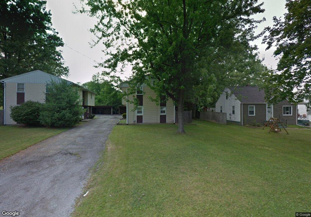
554 Forest Hill Dr Unit 556 Youngstown, OH 44515
Austintown NeighborhoodEstimated Value: $138,000 - $172,796
6
Beds
2
Baths
2,000
Sq Ft
$77/Sq Ft
Est. Value
About This Home
This home is located at 554 Forest Hill Dr Unit 556, Youngstown, OH 44515 and is currently estimated at $153,449, approximately $76 per square foot. 554 Forest Hill Dr Unit 556 is a home located in Mahoning County with nearby schools including Austintown Elementary School, Austintown Intermediate School, and Austintown Middle School.
Ownership History
Date
Name
Owned For
Owner Type
Purchase Details
Closed on
Nov 13, 2020
Sold by
Crnarich Kenneth
Bought by
Rosace Michael A
Current Estimated Value
Home Financials for this Owner
Home Financials are based on the most recent Mortgage that was taken out on this home.
Original Mortgage
$66,000
Outstanding Balance
$58,731
Interest Rate
2.8%
Mortgage Type
New Conventional
Estimated Equity
$94,718
Purchase Details
Closed on
May 1, 1997
Sold by
Wollet Karl
Bought by
Crnarich Kenneth
Home Financials for this Owner
Home Financials are based on the most recent Mortgage that was taken out on this home.
Original Mortgage
$77,460
Interest Rate
8.05%
Mortgage Type
Purchase Money Mortgage
Purchase Details
Closed on
Mar 23, 1994
Bought by
Wollet Karl
Create a Home Valuation Report for This Property
The Home Valuation Report is an in-depth analysis detailing your home's value as well as a comparison with similar homes in the area
Home Values in the Area
Average Home Value in this Area
Purchase History
| Date | Buyer | Sale Price | Title Company |
|---|---|---|---|
| Rosace Michael A | $88,000 | Title Professionals Group Lt | |
| Crnarich Kenneth | $78,000 | -- | |
| Wollet Karl | $70,000 | -- |
Source: Public Records
Mortgage History
| Date | Status | Borrower | Loan Amount |
|---|---|---|---|
| Open | Rosace Michael A | $66,000 | |
| Previous Owner | Crnarich Kenneth | $77,460 |
Source: Public Records
Tax History Compared to Growth
Tax History
| Year | Tax Paid | Tax Assessment Tax Assessment Total Assessment is a certain percentage of the fair market value that is determined by local assessors to be the total taxable value of land and additions on the property. | Land | Improvement |
|---|---|---|---|---|
| 2024 | $1,885 | $40,360 | $4,190 | $36,170 |
| 2023 | $1,852 | $40,360 | $4,190 | $36,170 |
| 2022 | $1,684 | $29,420 | $3,500 | $25,920 |
| 2021 | $1,685 | $29,420 | $3,500 | $25,920 |
| 2020 | $1,714 | $29,420 | $3,500 | $25,920 |
| 2019 | $1,620 | $25,150 | $2,990 | $22,160 |
| 2018 | $1,563 | $25,150 | $2,990 | $22,160 |
| 2017 | $1,657 | $25,150 | $2,990 | $22,160 |
| 2016 | $1,765 | $28,400 | $2,990 | $25,410 |
| 2015 | $1,713 | $28,400 | $2,990 | $25,410 |
| 2014 | $1,720 | $28,400 | $2,990 | $25,410 |
| 2013 | $1,703 | $28,400 | $2,990 | $25,410 |
Source: Public Records
Map
Nearby Homes
- 3972 Artmar Dr
- 532 Westgate Blvd
- 4102 Burkey Rd
- 3811 Artmar Dr
- 4234 Burkey Rd
- 3890 Ayrshire Dr
- 4262 Pembrook Rd
- 3852 Edinburgh Dr
- 263 S Main St
- 252 Rosemont Ave
- 1560 S Meridian Rd
- 653 S Meridian Rd
- 565 S Meridian Rd
- 4235 Patricia Ave
- 902 S Meridian Rd
- 0 Elmwood Ave
- 136 Rosemont Ave
- 603 S Raccoon Rd Unit 9
- 603 S Raccoon Rd Unit 14
- 603 S Raccoon Rd Unit 61
- 550 Forest Hill Dr
- 568 Forest Hill Dr
- 546 Forest Hill Dr
- 546 Forest-Hill Dr
- 542 Forest Hill Dr
- 551 Forest Hill Dr
- 573 Forest Hill Dr
- 545 Forest Hill Dr
- 534 Forest Hill Dr
- 3934 Burkey Rd
- 541 Forest Hill Dr
- 3908 Burkey Rd
- 539 Forest Hill Dr
- 528 Forest Hill Dr
- 3904 Burkey Rd
- 3954 Artmar Dr
- 537 Forest Hill Dr
- 3948 Artmar Dr
- 4004 Burkey Rd
- 3942 Artmar Dr