5540 NW Shasta Ave Corvallis, OR 97330
Estimated Value: $630,000 - $665,000
3
Beds
2
Baths
1,800
Sq Ft
$357/Sq Ft
Est. Value
About This Home
This home is located at 5540 NW Shasta Ave, Corvallis, OR 97330 and is currently estimated at $642,623, approximately $357 per square foot. 5540 NW Shasta Ave is a home located in Benton County with nearby schools including Mt. View Elementary School, Cheldelin Middle School, and Crescent Valley High School.
Ownership History
Date
Name
Owned For
Owner Type
Purchase Details
Closed on
Sep 19, 2005
Sold by
Thompson Robert E
Bought by
Phillips Karen L
Current Estimated Value
Purchase Details
Closed on
May 18, 2000
Sold by
Smith Kermit W and Smith Lilly L
Bought by
Thompson Robert E and Phillips Karen L
Home Financials for this Owner
Home Financials are based on the most recent Mortgage that was taken out on this home.
Original Mortgage
$144,800
Interest Rate
8.08%
Create a Home Valuation Report for This Property
The Home Valuation Report is an in-depth analysis detailing your home's value as well as a comparison with similar homes in the area
Home Values in the Area
Average Home Value in this Area
Purchase History
| Date | Buyer | Sale Price | Title Company |
|---|---|---|---|
| Phillips Karen L | -- | Ticor Title Insurance | |
| Thompson Robert E | $181,000 | Ticor Title Insurance Compan |
Source: Public Records
Mortgage History
| Date | Status | Borrower | Loan Amount |
|---|---|---|---|
| Previous Owner | Thompson Robert E | $144,800 |
Source: Public Records
Tax History Compared to Growth
Tax History
| Year | Tax Paid | Tax Assessment Tax Assessment Total Assessment is a certain percentage of the fair market value that is determined by local assessors to be the total taxable value of land and additions on the property. | Land | Improvement |
|---|---|---|---|---|
| 2024 | $5,202 | $343,458 | -- | -- |
| 2023 | $4,898 | $333,454 | $0 | $0 |
| 2022 | $4,755 | $323,742 | $0 | $0 |
| 2021 | $4,564 | $314,313 | $0 | $0 |
| 2020 | $4,560 | $305,158 | $0 | $0 |
| 2019 | $4,149 | $296,270 | $0 | $0 |
| 2018 | $4,190 | $287,641 | $0 | $0 |
| 2017 | $3,755 | $279,263 | $0 | $0 |
| 2016 | $3,647 | $271,129 | $0 | $0 |
| 2015 | $3,552 | $263,232 | $0 | $0 |
| 2014 | $3,496 | $255,565 | $0 | $0 |
| 2012 | -- | $240,894 | $0 | $0 |
Source: Public Records
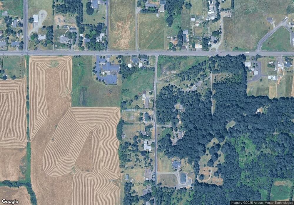
Map
Nearby Homes
- 208 NW Lewisburg Ave
- 5823 NW Village Green Place
- 0 NE Elliott Cir
- 5833 NW Highland Place
- 5055 NE Elliott Cir Unit 35 Cir
- 5055 NE Elliott Cir
- 6440 NW Sisters Place
- 6219 NE Pettibone Dr
- 1550 NW Emperor Dr
- 6815 NW Concord Dr
- 115 NW Harmony Ln
- 6680 NW Niagara Place
- 913 NW Raintree Dr
- Lot 6 & 7 NW Overlook Dr
- 110 NE Thousand Oak Dr
- 110 NE Thousand Oaks Dr
- 6090 NW Rosewood Dr
- Lot 6 NW Wild Rose Dr
- * NW Wild Rose Dr
- 277 NE Conifer Blvd Unit 24 Bl
- 5520 NW Shasta Ave
- 410 NW Lewisburg Ave
- 470 NW Lewisburg Ave
- 5545 NW Shasta Ave
- 5460 NW Shasta Ave
- 5525 NW Shasta Ave
- 5610 NW Locke Cemetery Rd
- 5420 NW Shasta Ave
- 405 NW Lewisburg Ave
- 5430 NW Shasta Ave
- 0 NW Shasta Ave Unit 591555
- 333 NW Lewisburg Ave
- 541 NW Lewisburg Ave
- 357 NW Lewisburg Ave
- 5375 NW Shasta Ave
- 5380 NW Shasta Ave
- 545 NW Lewisburg Ave
- 311 NW Lewisburg Ave
- 465 NW Lewisburg Ave
- 5355 NW Shasta Ave