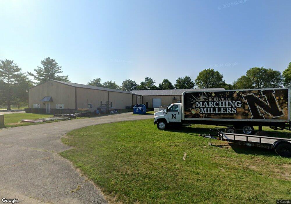
555 Park 32 Dr W Noblesville, IN 46062
West Noblesville NeighborhoodEstimated Value: $883,048
--
Bed
--
Bath
13,328
Sq Ft
$66/Sq Ft
Est. Value
About This Home
This home is located at 555 Park 32 Dr W, Noblesville, IN 46062 and is currently estimated at $883,048, approximately $66 per square foot. 555 Park 32 Dr W is a home located in Hamilton County with nearby schools including Noble Crossing Elementary School, Noblesville West Middle School, and Noblesville High School.
Ownership History
Date
Name
Owned For
Owner Type
Purchase Details
Closed on
Jun 30, 2011
Sold by
Maggie Investments Llc
Bought by
Kace Llc
Current Estimated Value
Home Financials for this Owner
Home Financials are based on the most recent Mortgage that was taken out on this home.
Original Mortgage
$192,500
Outstanding Balance
$75,412
Interest Rate
4.63%
Mortgage Type
Future Advance Clause Open End Mortgage
Estimated Equity
$807,636
Create a Home Valuation Report for This Property
The Home Valuation Report is an in-depth analysis detailing your home's value as well as a comparison with similar homes in the area
Home Values in the Area
Average Home Value in this Area
Purchase History
| Date | Buyer | Sale Price | Title Company |
|---|---|---|---|
| Kace Llc | -- | None Available |
Source: Public Records
Mortgage History
| Date | Status | Borrower | Loan Amount |
|---|---|---|---|
| Open | Kace Llc | $192,500 |
Source: Public Records
Tax History Compared to Growth
Tax History
| Year | Tax Paid | Tax Assessment Tax Assessment Total Assessment is a certain percentage of the fair market value that is determined by local assessors to be the total taxable value of land and additions on the property. | Land | Improvement |
|---|---|---|---|---|
| 2024 | $10,995 | $406,900 | $173,800 | $233,100 |
| 2023 | $11,070 | $406,900 | $173,800 | $233,100 |
| 2022 | $11,148 | $406,900 | $173,800 | $233,100 |
| 2021 | $10,860 | $389,100 | $173,800 | $215,300 |
| 2020 | $10,930 | $389,100 | $173,800 | $215,300 |
| 2019 | $11,079 | $390,200 | $173,800 | $216,400 |
| 2018 | $6,493 | $389,100 | $173,800 | $215,300 |
| 2017 | $10,659 | $386,000 | $173,800 | $212,200 |
| 2016 | $10,951 | $394,700 | $185,500 | $209,200 |
| 2014 | $11,490 | $374,000 | $171,900 | $202,100 |
| 2013 | $11,490 | $374,000 | $171,900 | $202,100 |
Source: Public Records
Map
Nearby Homes
- 6421 Kilpatrick Ln
- 6445 Kilpatrick Ln
- 6397 Kilpatrick Ln
- 16747 Goodson Dr
- 6493 Kilpatrick Ln
- 6460 Stokes Ave
- 17030 Daly Dr
- Wentworth Plan at Magnolia Ridge - Venture
- Rockwell Plan at Magnolia Ridge - Cornerstone
- Jasper Plan at Magnolia Ridge - Venture
- Fairmont Plan at Magnolia Ridge - Cornerstone
- Valencia Plan at Magnolia Ridge - Venture
- Seabrook Plan at Magnolia Ridge - Cornerstone
- Kingston Plan at Magnolia Ridge - Venture
- Hampshire Plan at Magnolia Ridge - Venture
- Paddington Plan at Magnolia Ridge - Venture
- 18007 Kinder Oak Dr
- 6433 Kilpatrick Ln
- 18339 Benton Oak Dr
- 1182 Mill Run Dr
- 17423 Willow View Rd
- 17210 Willowview Rd
- 17235 Willowview Rd
- 17238 Willowview Rd
- 17423 Willowview Rd
- 17309 Willow View Rd
- 17312 Willow View Rd
- 6744 Apperson Dr
- 6734 Apperson Dr
- 6720 Apperson Dr
- 6700 Apperson Dr
- 6688 Apperson Dr
- 6678 Apperson Dr
- 6668 Apperson Dr
- 500 Park 32 Dr W
- 500 Park 32 West Dr
- 6654 Apperson Dr
- 3201 State Rd 32 Rd
- 355 Park 32 West Dr
- 6640 Apperson Dr