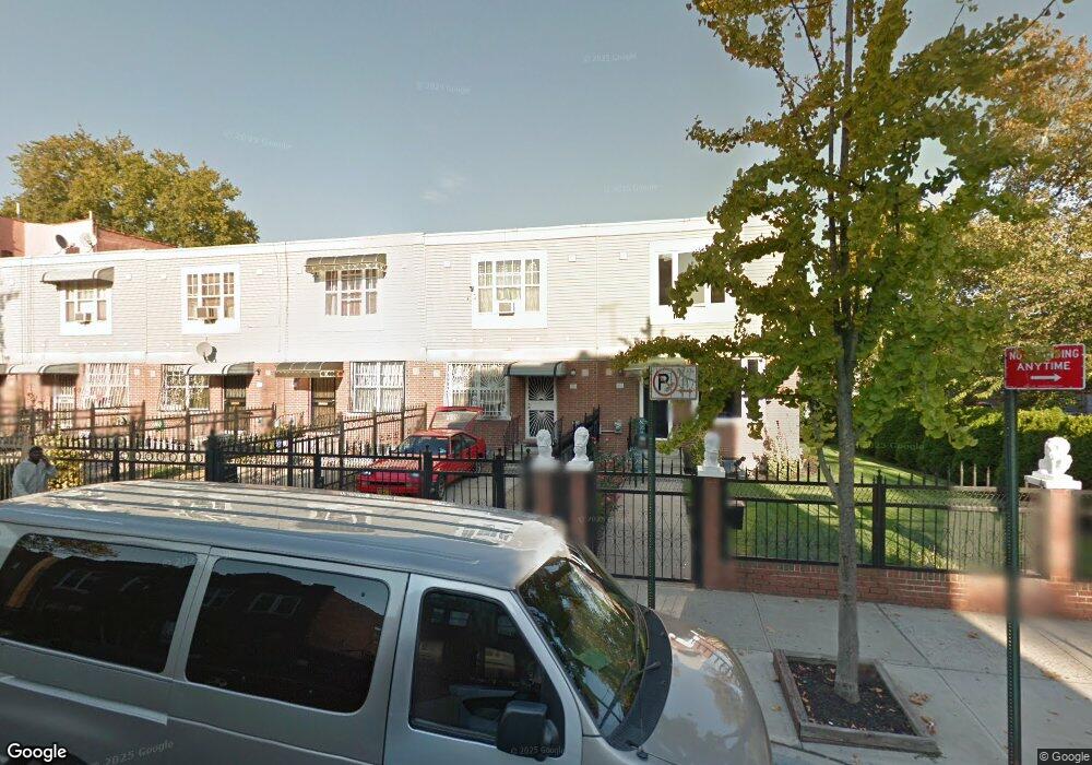
555 Sheffield Ave Brooklyn, NY 11207
Brownsville NeighborhoodEstimated Value: $555,418 - $708,000
--
Bed
--
Bath
1,296
Sq Ft
$502/Sq Ft
Est. Value
About This Home
This home is located at 555 Sheffield Ave, Brooklyn, NY 11207 and is currently estimated at $650,355, approximately $501 per square foot. 555 Sheffield Ave is a home located in Kings County with nearby schools including P.S. 13 Roberto Clemente, J.H.S 292 Margaret S. Douglas, and Achievement First - East New York School.
Ownership History
Date
Name
Owned For
Owner Type
Purchase Details
Closed on
Jul 13, 2000
Sold by
Nehemiah Housing Development Fund Co Inc
Bought by
Whyte Andrew
Current Estimated Value
Home Financials for this Owner
Home Financials are based on the most recent Mortgage that was taken out on this home.
Original Mortgage
$77,000
Outstanding Balance
$27,456
Interest Rate
8.18%
Estimated Equity
$622,899
Create a Home Valuation Report for This Property
The Home Valuation Report is an in-depth analysis detailing your home's value as well as a comparison with similar homes in the area
Home Values in the Area
Average Home Value in this Area
Purchase History
| Date | Buyer | Sale Price | Title Company |
|---|---|---|---|
| Whyte Andrew | $102,000 | First American Title Ins Co |
Source: Public Records
Mortgage History
| Date | Status | Borrower | Loan Amount |
|---|---|---|---|
| Open | Whyte Andrew | $77,000 | |
| Closed | Whyte Andrew | $20,000 |
Source: Public Records
Tax History Compared to Growth
Tax History
| Year | Tax Paid | Tax Assessment Tax Assessment Total Assessment is a certain percentage of the fair market value that is determined by local assessors to be the total taxable value of land and additions on the property. | Land | Improvement |
|---|---|---|---|---|
| 2025 | $3,801 | $34,500 | $11,400 | $23,100 |
| 2024 | $3,801 | $32,100 | $11,400 | $20,700 |
| 2023 | $3,814 | $31,500 | $11,400 | $20,100 |
| 2022 | $3,537 | $29,520 | $11,400 | $18,120 |
| 2021 | $3,517 | $29,820 | $11,400 | $18,420 |
| 2020 | $2,638 | $24,120 | $11,400 | $12,720 |
| 2019 | $2,875 | $24,120 | $11,400 | $12,720 |
| 2018 | $2,571 | $15,648 | $5,526 | $10,122 |
| 2017 | $2,290 | $14,763 | $5,940 | $8,823 |
| 2016 | $1,903 | $13,928 | $5,105 | $8,823 |
| 2015 | $596 | $13,141 | $4,318 | $8,823 |
| 2014 | $596 | $13,141 | $4,318 | $8,823 |
Source: Public Records
Map
Nearby Homes
- 421 New Lots Ave
- 427 New Lots Ave
- 661 Sheffield Ave
- 667 Sheffield Ave
- 606 Alabama Ave
- 610 Alabama Ave
- 576 Williams Ave
- 578 Williams Ave
- 582 Williams Ave
- 541 Hinsdale St
- 679 Georgia Ave
- 694 Pennsylvania Ave
- 725 Vermont St
- 762 New Jersey Ave
- 750 Vermont St
- 533 Snediker Ave
- 593 Bradford St
- 521 Hegeman Ave
- 589 Hinsdale St
- 442 Newport St
- 557-559 Sheffield Ave
- 553 Sheffield Ave
- 557 Sheffield Ave Unit 559
- 551 Sheffield Ave
- 549 Sheffield Ave
- 547 Sheffield Ave
- 545 Sheffield Ave Unit 547
- 566 Pennsylvania Ave
- 570 Pennsylvania Ave
- 564 Pennsylvania Ave
- 543 Sheffield Ave
- 560 Pennsylvania Ave
- 561 Sheffield Ave
- 558 Pennsylvania Ave
- 539 Sheffield Ave
- 563 Sheffield Ave
- 554 Pennsylvania Ave
- 572 Pennsylvania Ave
- 560 Sheffield Ave
- 556 Sheffield Ave