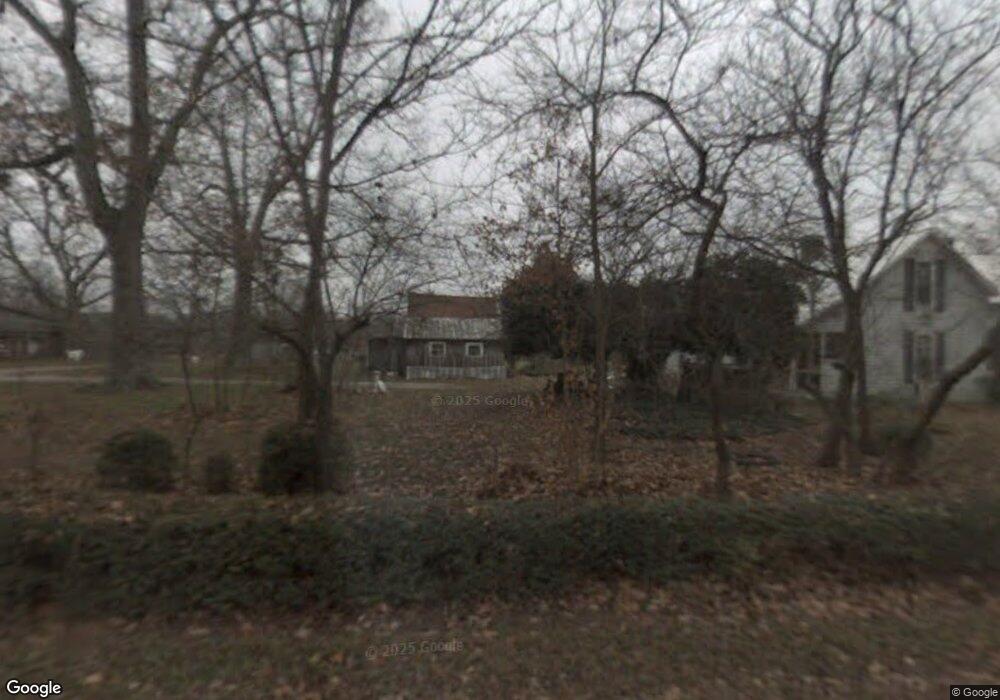
556 Tic Tac Mill Rd Morrison, TN 37357
Estimated Value: $165,345 - $395,000
--
Bed
1
Bath
1,270
Sq Ft
$207/Sq Ft
Est. Value
About This Home
This home is located at 556 Tic Tac Mill Rd, Morrison, TN 37357 and is currently estimated at $263,448, approximately $207 per square foot. 556 Tic Tac Mill Rd is a home located in Warren County with nearby schools including Morrison Elementary School and Warren County High School.
Ownership History
Date
Name
Owned For
Owner Type
Purchase Details
Closed on
Apr 24, 2024
Sold by
Robinson Louise
Bought by
Robinson Reta Jane
Current Estimated Value
Purchase Details
Closed on
Feb 12, 2024
Sold by
Robinson Louise
Bought by
Robinson Ralph T
Purchase Details
Closed on
Jan 6, 1979
Bought by
Robinson Ralph and Robinson Louise
Purchase Details
Closed on
Sep 6, 1978
Create a Home Valuation Report for This Property
The Home Valuation Report is an in-depth analysis detailing your home's value as well as a comparison with similar homes in the area
Home Values in the Area
Average Home Value in this Area
Purchase History
| Date | Buyer | Sale Price | Title Company |
|---|---|---|---|
| Robinson Reta Jane | -- | Dekalb Title | |
| Robinson Ralph T | $60,000 | None Listed On Document | |
| Robinson Ralph T | $60,000 | None Listed On Document | |
| Robinson Ralph | -- | -- | |
| -- | -- | -- |
Source: Public Records
Tax History Compared to Growth
Tax History
| Year | Tax Paid | Tax Assessment Tax Assessment Total Assessment is a certain percentage of the fair market value that is determined by local assessors to be the total taxable value of land and additions on the property. | Land | Improvement |
|---|---|---|---|---|
| 2024 | $596 | $30,275 | $17,700 | $12,575 |
| 2023 | $596 | $30,275 | $17,700 | $12,575 |
| 2022 | $596 | $30,275 | $17,700 | $12,575 |
| 2021 | $596 | $30,275 | $17,700 | $12,575 |
| 2020 | $458 | $30,275 | $17,700 | $12,575 |
| 2019 | $523 | $23,300 | $13,475 | $9,825 |
| 2018 | $458 | $23,300 | $13,475 | $9,825 |
| 2017 | $458 | $23,300 | $13,475 | $9,825 |
| 2016 | $458 | $23,300 | $13,475 | $9,825 |
| 2015 | $465 | $23,300 | $13,475 | $9,825 |
| 2014 | $465 | $23,300 | $13,475 | $9,825 |
| 2013 | $465 | $23,312 | $0 | $0 |
Source: Public Records
Map
Nearby Homes
- 0 Oak St
- 631 W Maple St
- 440 W Maple St
- 10157 Manchester Hwy
- 431 S Fair St
- 511 N Main St
- 120 Boyd St
- 231 Tom Johnson Rd
- 00 Marcrom Rd
- 0 Marcrom Rd
- 6579 Vervilla Rd
- 0 Nanny's Rd
- 0 Finger Bluff Rd
- 1037 Mcafee Rd
- 0 Ramsey Rd
- 0 Mcafee E Unit RTC2865293
- 1694 Mcafee Rd
- 7807 McMinnville Hwy Unit 7807
- 0 Mcafee Rd
- 205 Lake Villa Cir
- 611 Tic Tac Mill Rd
- 498 Tic Tac Mill Rd
- 1030 Tic Tac Mill Rd
- 424 Mcafee Ln
- 50 Tic Tac Mill Rd
- 1794 King Rd
- 334 Mcafee Ln
- 0 Tic Tac Mill Rd
- 1904 King Rd
- 1379 King Rd
- 1575 Tic Tac Mill Rd
- 2142 King Rd
- 220 Steve Bryan Ln
- 847 King Rd Unit 814
- 803 Old Manchester Rd
- 1103 Old Manchester Rd
- 2 Madison
- 22 Crompton St
- 121 E View Dr
- 702 Old Manchester Rd