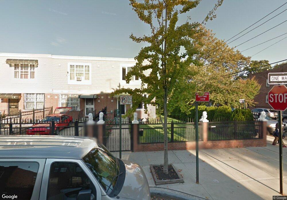
557-559 Sheffield Ave Brooklyn, NY 11207
Brownsville NeighborhoodEstimated Value: $597,394 - $761,000
--
Bed
--
Bath
1,296
Sq Ft
$524/Sq Ft
Est. Value
About This Home
This home is located at 557-559 Sheffield Ave, Brooklyn, NY 11207 and is currently estimated at $678,849, approximately $523 per square foot. 557-559 Sheffield Ave is a home located in Kings County with nearby schools including P.S. 13 Roberto Clemente, J.H.S 292 Margaret S. Douglas, and Achievement First - East New York School.
Ownership History
Date
Name
Owned For
Owner Type
Purchase Details
Closed on
Feb 28, 2025
Sold by
Kennedy J F J and Kennedy James F
Bought by
Black Soul Trust and Kennedy
Current Estimated Value
Purchase Details
Closed on
Jul 13, 2000
Sold by
Nehemiah Housing Development Fund Co Inc
Bought by
Kennedy James F
Home Financials for this Owner
Home Financials are based on the most recent Mortgage that was taken out on this home.
Original Mortgage
$85,000
Interest Rate
8.18%
Create a Home Valuation Report for This Property
The Home Valuation Report is an in-depth analysis detailing your home's value as well as a comparison with similar homes in the area
Home Values in the Area
Average Home Value in this Area
Purchase History
| Date | Buyer | Sale Price | Title Company |
|---|---|---|---|
| Black Soul Trust | -- | -- | |
| Kennedy James F | $110,000 | First American Title Ins Co | |
| Kennedy James F | $110,000 | First American Title Ins Co |
Source: Public Records
Mortgage History
| Date | Status | Borrower | Loan Amount |
|---|---|---|---|
| Previous Owner | Kennedy James F | $85,000 | |
| Closed | Kennedy James F | $20,000 |
Source: Public Records
Tax History Compared to Growth
Tax History
| Year | Tax Paid | Tax Assessment Tax Assessment Total Assessment is a certain percentage of the fair market value that is determined by local assessors to be the total taxable value of land and additions on the property. | Land | Improvement |
|---|---|---|---|---|
| 2025 | -- | $34,380 | $14,640 | $19,740 |
| 2024 | -- | $33,240 | $14,640 | $18,600 |
| 2023 | $0 | $32,460 | $14,640 | $17,820 |
| 2022 | $0 | $30,660 | $14,640 | $16,020 |
| 2021 | $0 | $30,180 | $14,640 | $15,540 |
| 2020 | $0 | $25,320 | $14,640 | $10,680 |
| 2019 | $0 | $25,320 | $14,640 | $10,680 |
| 2018 | $0 | $17,280 | $7,462 | $9,818 |
| 2017 | $359 | $16,302 | $6,735 | $9,567 |
| 2016 | $1,222 | $15,380 | $5,813 | $9,567 |
| 2015 | $511 | $14,510 | $4,943 | $9,567 |
| 2014 | $511 | $14,510 | $4,943 | $9,567 |
Source: Public Records
Map
Nearby Homes
- 421 New Lots Ave
- 427 New Lots Ave
- 661 Sheffield Ave
- 667 Sheffield Ave
- 606 Alabama Ave
- 610 Alabama Ave
- 576 Williams Ave
- 578 Williams Ave
- 582 Williams Ave
- 541 Hinsdale St
- 679 Georgia Ave
- 694 Pennsylvania Ave
- 725 Vermont St
- 762 New Jersey Ave
- 750 Vermont St
- 533 Snediker Ave
- 593 Bradford St
- 521 Hegeman Ave
- 589 Hinsdale St
- 442 Newport St
- 555 Sheffield Ave
- 553 Sheffield Ave
- 557 Sheffield Ave Unit 559
- 551 Sheffield Ave
- 549 Sheffield Ave
- 547 Sheffield Ave
- 545 Sheffield Ave Unit 547
- 566 Pennsylvania Ave
- 570 Pennsylvania Ave
- 564 Pennsylvania Ave
- 543 Sheffield Ave
- 560 Pennsylvania Ave
- 561 Sheffield Ave
- 558 Pennsylvania Ave
- 539 Sheffield Ave
- 563 Sheffield Ave
- 554 Pennsylvania Ave
- 572 Pennsylvania Ave
- 560 Sheffield Ave
- 556 Sheffield Ave