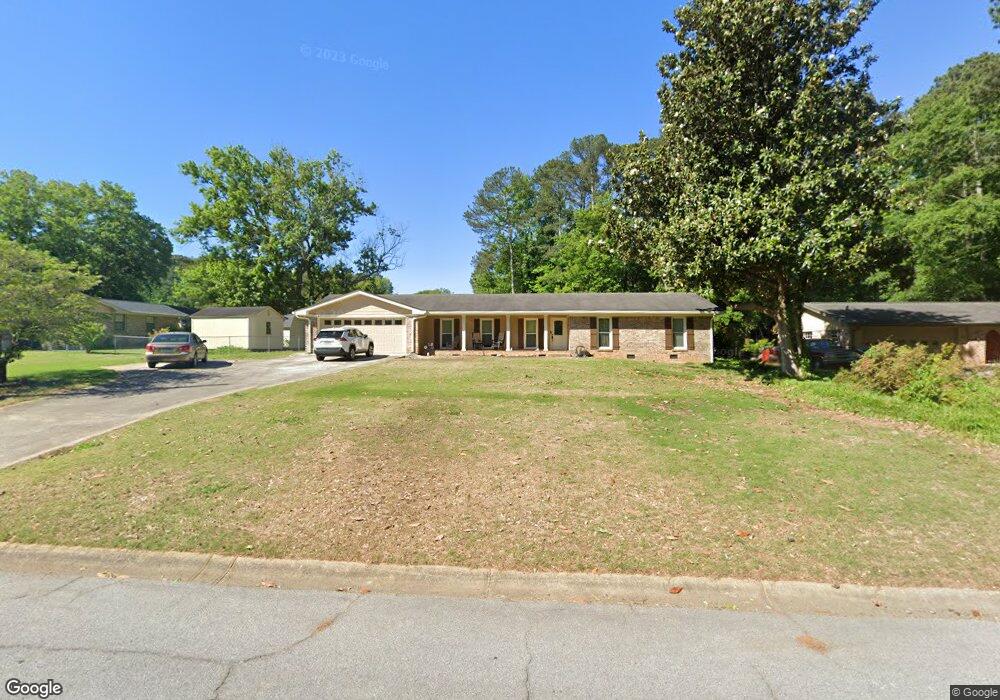
557 Rollingwood Dr Stone Mountain, GA 30087
Estimated Value: $346,000 - $360,000
3
Beds
2
Baths
1,828
Sq Ft
$193/Sq Ft
Est. Value
About This Home
This home is located at 557 Rollingwood Dr, Stone Mountain, GA 30087 and is currently estimated at $353,213, approximately $193 per square foot. 557 Rollingwood Dr is a home located in Gwinnett County with nearby schools including Camp Creek Elementary School, Trickum Middle School, and Parkview High School.
Ownership History
Date
Name
Owned For
Owner Type
Purchase Details
Closed on
Jan 29, 2003
Sold by
Harvey Kevin and Harvey Shannon
Bought by
Woolsteen Marian
Current Estimated Value
Home Financials for this Owner
Home Financials are based on the most recent Mortgage that was taken out on this home.
Original Mortgage
$144,000
Outstanding Balance
$60,563
Interest Rate
5.95%
Mortgage Type
New Conventional
Estimated Equity
$292,650
Purchase Details
Closed on
Apr 5, 2000
Sold by
Mcdiarmid Andrew
Bought by
Harvey Kevin and Harvey Shannon
Home Financials for this Owner
Home Financials are based on the most recent Mortgage that was taken out on this home.
Original Mortgage
$137,159
Interest Rate
8.29%
Mortgage Type
FHA
Purchase Details
Closed on
Apr 3, 2000
Sold by
Mcdiarmid Scott J
Bought by
Mcdiarmid Andrew
Home Financials for this Owner
Home Financials are based on the most recent Mortgage that was taken out on this home.
Original Mortgage
$137,159
Interest Rate
8.29%
Mortgage Type
FHA
Create a Home Valuation Report for This Property
The Home Valuation Report is an in-depth analysis detailing your home's value as well as a comparison with similar homes in the area
Home Values in the Area
Average Home Value in this Area
Purchase History
| Date | Buyer | Sale Price | Title Company |
|---|---|---|---|
| Woolsteen Marian | $144,000 | -- | |
| Harvey Kevin | $139,000 | -- | |
| Mcdiarmid Andrew | -- | -- |
Source: Public Records
Mortgage History
| Date | Status | Borrower | Loan Amount |
|---|---|---|---|
| Open | Woolsteen Marian | $144,000 | |
| Previous Owner | Harvey Kevin | $137,159 |
Source: Public Records
Tax History Compared to Growth
Tax History
| Year | Tax Paid | Tax Assessment Tax Assessment Total Assessment is a certain percentage of the fair market value that is determined by local assessors to be the total taxable value of land and additions on the property. | Land | Improvement |
|---|---|---|---|---|
| 2025 | $3,538 | $123,200 | $22,200 | $101,000 |
| 2024 | $3,663 | $123,560 | $22,200 | $101,360 |
| 2023 | $3,663 | $118,920 | $24,000 | $94,920 |
| 2022 | $3,194 | $103,280 | $24,000 | $79,280 |
| 2021 | $2,643 | $75,280 | $17,200 | $58,080 |
| 2020 | $2,659 | $75,280 | $17,200 | $58,080 |
| 2019 | $2,426 | $68,040 | $14,000 | $54,040 |
| 2018 | $2,375 | $65,760 | $14,000 | $51,760 |
| 2016 | $2,216 | $58,320 | $14,000 | $44,320 |
| 2015 | $2,042 | $52,880 | $14,000 | $38,880 |
| 2014 | $1,775 | $45,120 | $14,000 | $31,120 |
Source: Public Records
Map
Nearby Homes
- 483 Rollingwood Dr
- 507 Castlearie Dr
- 507 Castleaire Dr Unit 1
- 5632 Stillwater Ct
- 5531 Four Winds Dr SW
- 353 Old Rosser Rd
- 5633 Breezy Ct SW
- 292 Old Rosser Rd
- 262 Harmony Grove Rd
- 5521 E Wind Dr SW
- 358 W Wind Dr SW
- 851 Rockbridge Rd SW
- 771 Mountainbrooke Cir SW
- 5774 Vantage Ct
- 717 Oxford Ct SW
- 5781 Four Winds Dr SW Unit 1B
- 746 Oxford Ct SW
- 923 Tall Pine Ct SW
- 228 Amour Way SW
- 549 Rollingwood Dr Unit 2
- 5767 Fairfield Place
- 5759 Fairfield Place
- 5779 Fairfield Place
- 556 Midland Park Dr
- 546 Midland Park Dr
- 556 Midland Park Dr SW
- 5781 Fairfield Place
- 536 Rollingwood Dr Unit 2
- 548 Rollingwood Dr
- 550 Rollingwood Dr
- 534 Midland Park Dr
- 529 Rollingwood Dr
- 562 Rollingwood Dr
- 0 Fairfield Place Unit 8612818
- 0 Fairfield Place Unit 8570693
- 0 Fairfield Place Unit 8377978
- 0 Fairfield Place Unit 7578107
- 0 Fairfield Place
- 574 Rollingwood Dr