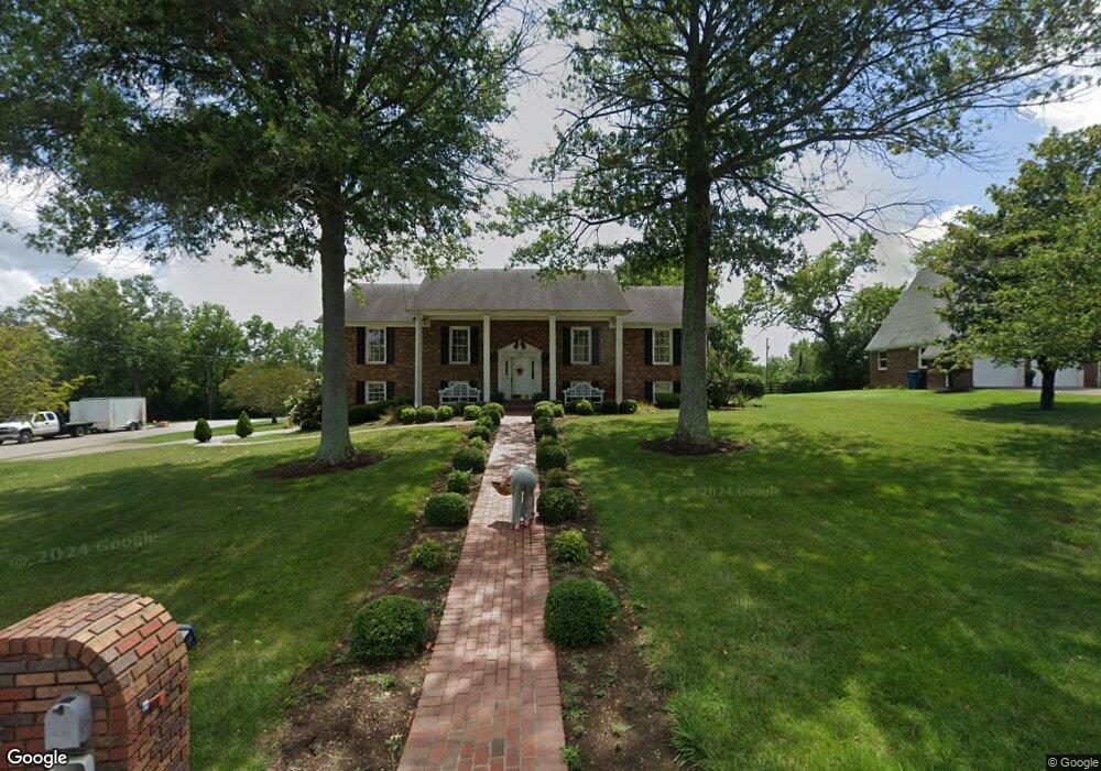
558 Shenandoah Dr Harrodsburg, KY 40330
Estimated Value: $358,972 - $431,000
4
Beds
3
Baths
2,056
Sq Ft
$192/Sq Ft
Est. Value
About This Home
This home is located at 558 Shenandoah Dr, Harrodsburg, KY 40330 and is currently estimated at $395,493, approximately $192 per square foot. 558 Shenandoah Dr is a home located in Mercer County with nearby schools including Mercer County Elementary School, Mercer County Intermediate School, and King Middle School.
Ownership History
Date
Name
Owned For
Owner Type
Purchase Details
Closed on
Jul 12, 2022
Sold by
B & S Thompson Properties Llc
Bought by
Cme Properties Inc
Current Estimated Value
Home Financials for this Owner
Home Financials are based on the most recent Mortgage that was taken out on this home.
Original Mortgage
$200,000
Outstanding Balance
$79,290
Interest Rate
5.09%
Mortgage Type
New Conventional
Estimated Equity
$316,203
Create a Home Valuation Report for This Property
The Home Valuation Report is an in-depth analysis detailing your home's value as well as a comparison with similar homes in the area
Home Values in the Area
Average Home Value in this Area
Purchase History
| Date | Buyer | Sale Price | Title Company |
|---|---|---|---|
| Cme Properties Inc | $200,000 | None Listed On Document |
Source: Public Records
Mortgage History
| Date | Status | Borrower | Loan Amount |
|---|---|---|---|
| Open | Cme Properties Inc | $200,000 |
Source: Public Records
Tax History Compared to Growth
Tax History
| Year | Tax Paid | Tax Assessment Tax Assessment Total Assessment is a certain percentage of the fair market value that is determined by local assessors to be the total taxable value of land and additions on the property. | Land | Improvement |
|---|---|---|---|---|
| 2024 | $2,723 | $290,560 | $20,000 | $270,560 |
| 2023 | $2,529 | $270,960 | $0 | $0 |
| 2022 | $2,561 | $270,960 | $0 | $0 |
| 2021 | $2,590 | $270,960 | $0 | $0 |
| 2020 | $2,604 | $242,142 | $20,000 | $222,142 |
| 2019 | $2,316 | $242,142 | $20,000 | $222,142 |
| 2018 | $2,281 | $242,142 | $0 | $0 |
| 2017 | $2,199 | $242,142 | $0 | $0 |
| 2016 | $2,163 | $242,142 | $0 | $0 |
| 2015 | $2,109 | $242,142 | $20,000 | $222,142 |
| 2014 | $2,109 | $242,142 | $20,000 | $222,142 |
| 2010 | -- | $242,142 | $20,000 | $222,142 |
Source: Public Records
Map
Nearby Homes
- 547 Legion Dr Unit 6
- 547 Legion Dr
- 547 Legion Dr Unit 5
- 547 Legion Dr Unit 4
- 547 Legion Dr Unit 7
- 214 Sparrow Ln
- 655 Beaumont Ave
- Lots 28-35 Beaumont Inn Dr
- 404 Goddard St
- 630 Elizabeth Ct
- 441 Magoffin St
- 517 Beaumont Ave
- 340 Dixie Manor
- 549 Poteet St
- 471 Chestnut St
- 496 Atlee Dr
- 497 Atlee Dr
- 501 Ashley Dr
- 435 Linden Ave
- 135 Parkview Ave
- 546 Shenandoah Dr
- 557 Shenandoah Dr
- 929 Roanoke Dr
- 534 Shenandoah Dr
- 901 Roanoke Dr
- 521 Shenandoah Dr
- 522 Shenandoah Dr
- 878 Roanoke Dr
- 519 Shenandoah Dr
- 961 Beaumont Ave
- 546 Chesapeake Dr
- 863 Roanoke Dr
- 534 Chesapeake Dr
- 919 Beaumont Ave
- 897 Beaumont Ave
- 520 Chesapeake Dr
- 977 Beaumont Ave
- 887 Beaumont Ave
- 557 Chesapeake Dr