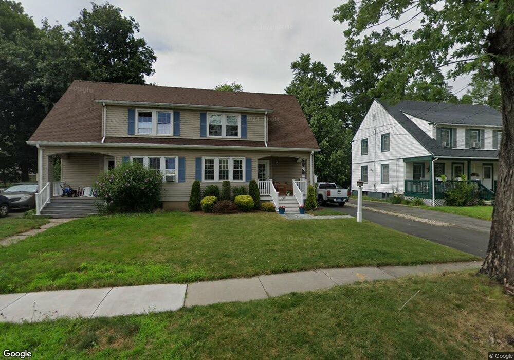
56 Washington Cir West Hartford, CT 06119
Estimated Value: $298,000 - $400,000
3
Beds
2
Baths
1,719
Sq Ft
$210/Sq Ft
Est. Value
About This Home
This home is located at 56 Washington Cir, West Hartford, CT 06119 and is currently estimated at $360,378, approximately $209 per square foot. 56 Washington Cir is a home located in Hartford County with nearby schools including Whiting Lane School, Adams Elementary School, and King Philip Middle School.
Ownership History
Date
Name
Owned For
Owner Type
Purchase Details
Closed on
May 15, 2018
Sold by
Galvin Kevin
Bought by
Boynton Whitney A
Current Estimated Value
Purchase Details
Closed on
Jul 14, 2000
Sold by
Lyon Andrew D and Lyon Tricia L
Bought by
Galvin Kevin
Home Financials for this Owner
Home Financials are based on the most recent Mortgage that was taken out on this home.
Original Mortgage
$88,200
Interest Rate
10.08%
Purchase Details
Closed on
Mar 9, 1999
Sold by
Rogers David P and Rogers Karen Oaks
Bought by
Lyon Andrew D and Lyon Tricia L
Home Financials for this Owner
Home Financials are based on the most recent Mortgage that was taken out on this home.
Original Mortgage
$72,000
Interest Rate
10.03%
Purchase Details
Closed on
Jun 22, 1995
Sold by
Difrancesco Tracy
Bought by
Rogers Denis and Rogers Karen
Create a Home Valuation Report for This Property
The Home Valuation Report is an in-depth analysis detailing your home's value as well as a comparison with similar homes in the area
Home Values in the Area
Average Home Value in this Area
Purchase History
| Date | Buyer | Sale Price | Title Company |
|---|---|---|---|
| Boynton Whitney A | -- | -- | |
| Galvin Kevin | $98,000 | -- | |
| Lyon Andrew D | $80,000 | -- | |
| Rogers Denis | $85,000 | -- |
Source: Public Records
Mortgage History
| Date | Status | Borrower | Loan Amount |
|---|---|---|---|
| Previous Owner | Rogers Denis | $147,000 | |
| Previous Owner | Rogers Denis | $96,500 | |
| Previous Owner | Rogers Denis | $88,200 | |
| Previous Owner | Rogers Denis | $72,000 |
Source: Public Records
Tax History Compared to Growth
Tax History
| Year | Tax Paid | Tax Assessment Tax Assessment Total Assessment is a certain percentage of the fair market value that is determined by local assessors to be the total taxable value of land and additions on the property. | Land | Improvement |
|---|---|---|---|---|
| 2025 | $7,497 | $167,420 | $43,100 | $124,320 |
| 2024 | $7,090 | $167,420 | $43,100 | $124,320 |
| 2023 | $6,851 | $167,420 | $43,100 | $124,320 |
| 2022 | $6,811 | $167,420 | $43,100 | $124,320 |
| 2021 | $4,353 | $102,620 | $39,100 | $63,520 |
| 2020 | $4,290 | $102,620 | $33,500 | $69,120 |
| 2019 | $4,290 | $102,620 | $33,460 | $69,160 |
| 2018 | $4,207 | $102,620 | $33,460 | $69,160 |
| 2017 | $4,212 | $102,620 | $33,460 | $69,160 |
| 2016 | $5,545 | $140,350 | $45,220 | $95,130 |
| 2015 | $5,377 | $140,350 | $45,220 | $95,130 |
| 2014 | $5,245 | $140,350 | $45,220 | $95,130 |
Source: Public Records
Map
Nearby Homes
- 89 Price Blvd
- 50 Acadia St
- 102 Oakwood Ave Unit B5
- 39 Fairlawn St
- 72 Saint Charles St
- 30 Outlook Ave Unit 205
- 869 Farmington Ave Unit 305
- 16 Lilley Rd
- 136 Kane St Unit B10
- 21 Warren Terrace
- 61 Woodmere Rd
- 16 Lockwood Terrace
- 100 Kane St Unit D10
- 48 Walkley Rd
- 26 Saint Augustine St
- 69 Saint Augustine St
- 54 Robin Rd Unit B2
- 478 Prospect Ave
- 85 Memorial Rd Unit 512
- 1006A Trout Brook Dr Unit 1006A
- 54 Washington Cir
- 60 Washington Cir
- 50 Washington Cir
- 66 Washington Cir
- 1299 Boulevard
- 1293 Boulevard
- 48 Washington Cir
- 1305 Boulevard
- 57 Washington Cir Unit 2
- 57 Washington Cir
- 57 Washington Cir
- 1289 Boulevard
- 70 Washington Cir
- 49 Washington Cir
- 44 Washington Cir
- 1311 Boulevard
- 112 Washington Cir
- 118 Washington Cir
- 72 Washington Cir
- 1283 Boulevard