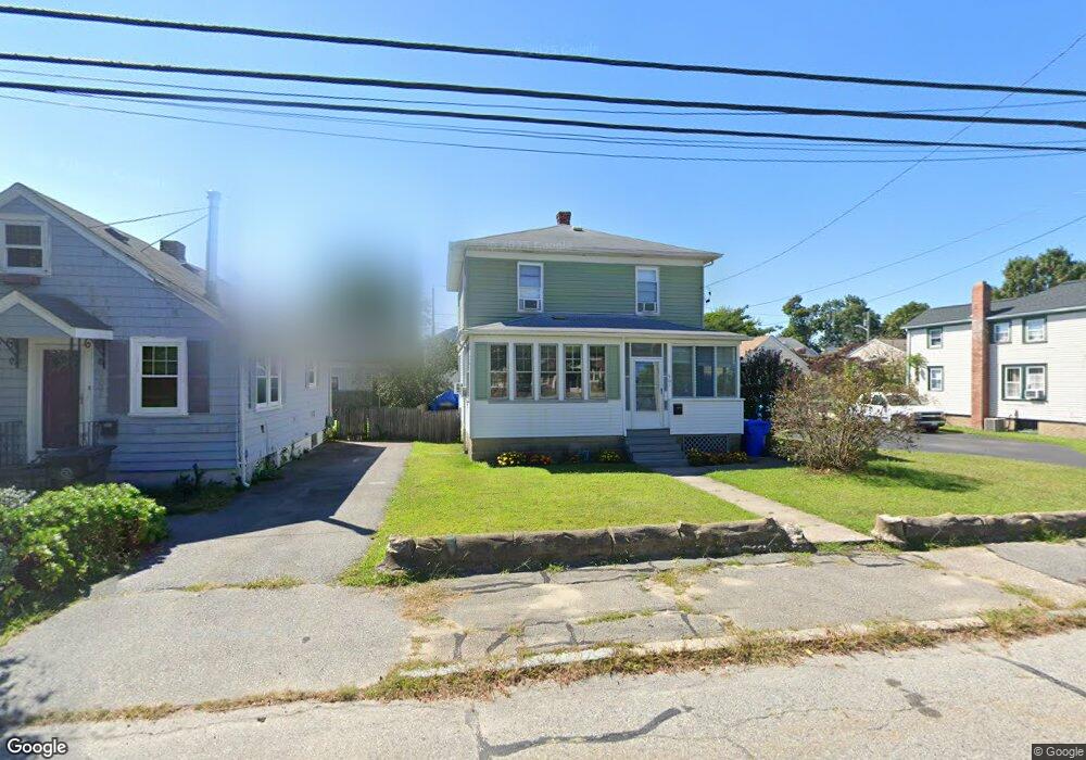
561 Bullocks Point Ave Riverside, RI 02915
Riverside NeighborhoodEstimated Value: $410,000 - $451,000
3
Beds
2
Baths
1,464
Sq Ft
$293/Sq Ft
Est. Value
About This Home
This home is located at 561 Bullocks Point Ave, Riverside, RI 02915 and is currently estimated at $428,917, approximately $292 per square foot. 561 Bullocks Point Ave is a home located in Providence County with nearby schools including East Providence High School, St Luke Elementary School, and St Mary Academy-Bay View.
Ownership History
Date
Name
Owned For
Owner Type
Purchase Details
Closed on
Aug 7, 1992
Sold by
Feeley Carolyn
Bought by
Carpenter Alan and Carpenter Diane
Current Estimated Value
Create a Home Valuation Report for This Property
The Home Valuation Report is an in-depth analysis detailing your home's value as well as a comparison with similar homes in the area
Home Values in the Area
Average Home Value in this Area
Purchase History
| Date | Buyer | Sale Price | Title Company |
|---|---|---|---|
| Carpenter Alan | $43,000 | -- | |
| Carpenter Alan | $43,000 | -- |
Source: Public Records
Mortgage History
| Date | Status | Borrower | Loan Amount |
|---|---|---|---|
| Open | Carpenter Alan | $26,000 | |
| Closed | Carpenter Alan | $10,000 | |
| Closed | Carpenter Alan | $25,600 | |
| Open | Carpenter Alan | $102,400 |
Source: Public Records
Tax History Compared to Growth
Tax History
| Year | Tax Paid | Tax Assessment Tax Assessment Total Assessment is a certain percentage of the fair market value that is determined by local assessors to be the total taxable value of land and additions on the property. | Land | Improvement |
|---|---|---|---|---|
| 2025 | $4,526 | $346,300 | $96,100 | $250,200 |
| 2024 | $4,302 | $280,600 | $80,100 | $200,500 |
| 2023 | $4,142 | $280,600 | $80,100 | $200,500 |
| 2022 | $3,981 | $182,100 | $52,700 | $129,400 |
| 2021 | $3,915 | $182,100 | $52,700 | $129,400 |
| 2020 | $3,749 | $182,100 | $52,700 | $129,400 |
| 2019 | $3,646 | $182,100 | $52,700 | $129,400 |
| 2018 | $3,553 | $155,300 | $52,900 | $102,400 |
| 2017 | $3,474 | $155,300 | $52,900 | $102,400 |
| 2016 | $3,457 | $155,300 | $52,900 | $102,400 |
| 2015 | $3,454 | $150,500 | $53,800 | $96,700 |
| 2014 | $3,454 | $150,500 | $53,800 | $96,700 |
Source: Public Records
Map
Nearby Homes
- 657 Bullocks Point Ave
- 557 Bullocks Point Ave
- 52 White Ave
- 46 White Ave
- 46 White Ave
- 577 Bullocks Point Ave
- 579 Bullocks Point Ave
- 579 Bullocks Pt Ave
- 635 Bullocks Point Ave
- 635 Bullocks Ave
- 56 White Ave
- 42 White Ave
- 53 White Ave
- 47 White Ave
- 637 Bullocks Point
- 50 White Ave
- 45 White Ave
- 49 White Ave
- 1 Clarke Ave
- 631 Bullocks Point Ave