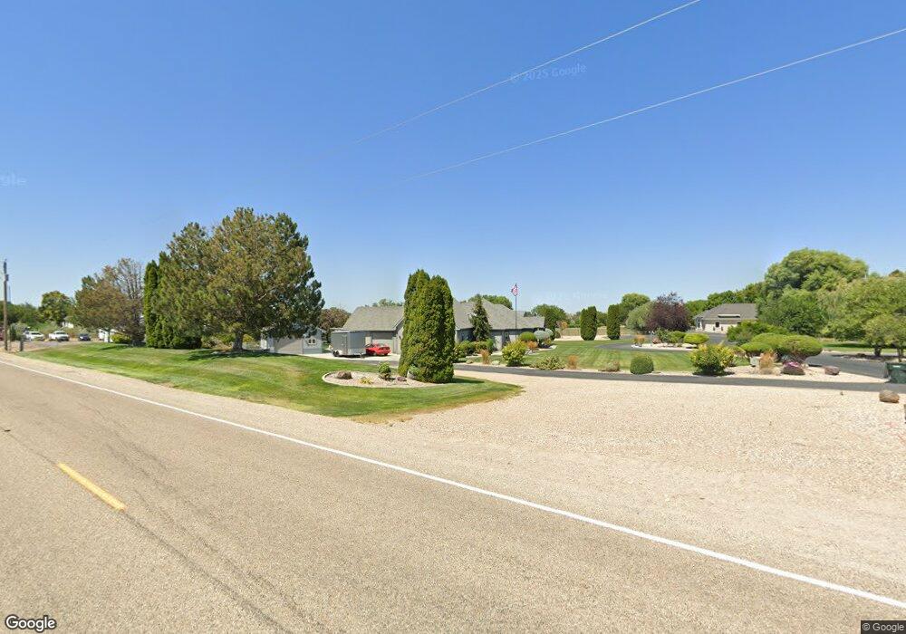
5616 Castle Heights Dr Caldwell, ID 83607
Estimated Value: $699,000 - $820,522
3
Beds
3
Baths
2,519
Sq Ft
$298/Sq Ft
Est. Value
About This Home
This home is located at 5616 Castle Heights Dr, Caldwell, ID 83607 and is currently estimated at $750,881, approximately $298 per square foot. 5616 Castle Heights Dr is a home located in Canyon County with nearby schools including Lewis And Clark Elementary School, Syringa Middle School, and Caldwell Senior High School.
Ownership History
Date
Name
Owned For
Owner Type
Purchase Details
Closed on
Aug 13, 2010
Sold by
Gorilla Capital Inc
Bought by
Christoffersen Steven G and Christoffersen Amy L
Current Estimated Value
Home Financials for this Owner
Home Financials are based on the most recent Mortgage that was taken out on this home.
Original Mortgage
$218,052
Interest Rate
3.99%
Mortgage Type
Purchase Money Mortgage
Create a Home Valuation Report for This Property
The Home Valuation Report is an in-depth analysis detailing your home's value as well as a comparison with similar homes in the area
Home Values in the Area
Average Home Value in this Area
Purchase History
| Date | Buyer | Sale Price | Title Company |
|---|---|---|---|
| Christoffersen Steven G | -- | Pioneer Caldwell |
Source: Public Records
Mortgage History
| Date | Status | Borrower | Loan Amount |
|---|---|---|---|
| Closed | Christoffersen Steven G | $218,052 |
Source: Public Records
Tax History Compared to Growth
Tax History
| Year | Tax Paid | Tax Assessment Tax Assessment Total Assessment is a certain percentage of the fair market value that is determined by local assessors to be the total taxable value of land and additions on the property. | Land | Improvement |
|---|---|---|---|---|
| 2025 | $1,852 | $786,890 | $255,390 | $531,500 |
| 2024 | $1,852 | $737,930 | $232,230 | $505,700 |
| 2023 | $2,202 | $735,230 | $232,230 | $503,000 |
| 2022 | $3,637 | $789,500 | $236,500 | $553,000 |
| 2021 | $3,550 | $573,090 | $132,490 | $440,600 |
| 2020 | $3,308 | $444,400 | $95,500 | $348,900 |
| 2019 | $3,576 | $441,100 | $80,500 | $360,600 |
| 2018 | $3,879 | $0 | $0 | $0 |
| 2017 | $3,571 | $0 | $0 | $0 |
| 2016 | $3,231 | $0 | $0 | $0 |
| 2015 | $2,911 | $0 | $0 | $0 |
| 2014 | $2,788 | $305,680 | $45,280 | $260,400 |
Source: Public Records
Map
Nearby Homes
- 320 Orrison St
- 5416 Sparky Ave
- 5423 Sparky Ave
- 412 Orrison St
- Forest Plan at Pradera - Brookside
- Bannock Plan at Pradera - Brookside
- Lochsa Plan at Pradera - Brookside
- Camas Plan at Pradera - Brookside
- 5407 Sparky Ave
- TBD Homedale Rd
- 5425 Juliet Rose Ave
- 5421 Juliet Rose Ave
- 5415 Juliet Rose Ave
- 317 Crafts St
- 405 Crafts St
- 101 Gold Bar Ct
- 811 War Bonnet Ct
- 4814 Wildcat Place
- 4804 Gap Creek Ave
- 5314 Broadview Way
- 105 W Homedale Rd
- 105 E Homedale Rd
- 5615 Castle Heights Dr
- 5501 Homedale Rd
- 5601 Castle Heights Dr
- 112 W Homedale Rd
- 314 Orrison St Unit 2714480-61349
- 216 E Pat Ln
- 406 Orrison St Unit 2714481-61349
- 220 E Pat Ln
- 412 Orrison St Unit 2692258-61349
- 5515 Juliet Rose Ave Unit 36464545
- 5515 Juliet Rose Ave Unit 36478286
- 5515 Juliet Rose Ave Unit 36488158
- 5515 Juliet Rose Ave Unit 36498951
- 5515 Juliet Rose Ave Unit 36439085
- 5519 Juliet Rose Ave
- 120 E Pat Ln
- 108 E Pat Ln
- 202 E Pat Ln