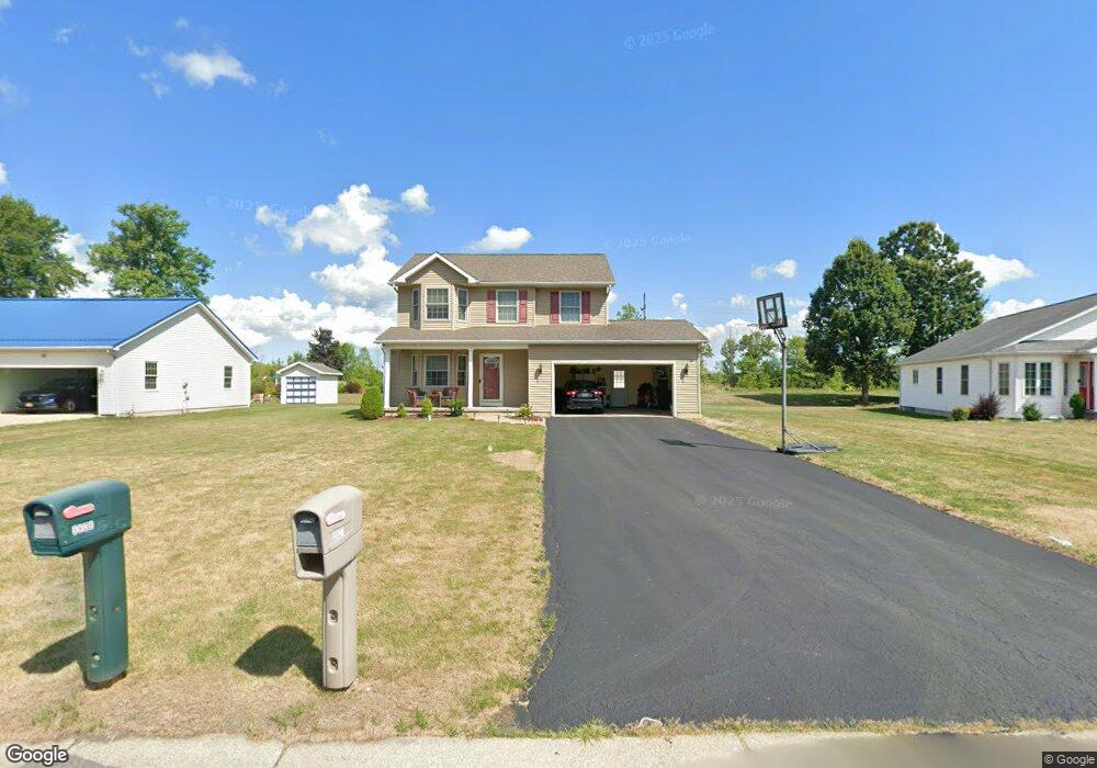
5627 Angela Dr Lockport, NY 14094
South Lockport NeighborhoodEstimated Value: $327,000 - $384,262
3
Beds
3
Baths
1,468
Sq Ft
$244/Sq Ft
Est. Value
About This Home
This home is located at 5627 Angela Dr, Lockport, NY 14094 and is currently estimated at $357,566, approximately $243 per square foot. 5627 Angela Dr is a home located in Niagara County with nearby schools including Aaron Mossell Junior High School and Lockport High School.
Ownership History
Date
Name
Owned For
Owner Type
Purchase Details
Closed on
May 21, 2014
Sold by
Zeitz Kelly A
Bought by
Zeitz Eric J
Current Estimated Value
Purchase Details
Closed on
Aug 22, 2005
Sold by
Yanport Warehouse Corp
Bought by
Zeitz Eric
Home Financials for this Owner
Home Financials are based on the most recent Mortgage that was taken out on this home.
Original Mortgage
$126,320
Outstanding Balance
$66,996
Interest Rate
5.81%
Mortgage Type
New Conventional
Estimated Equity
$290,570
Create a Home Valuation Report for This Property
The Home Valuation Report is an in-depth analysis detailing your home's value as well as a comparison with similar homes in the area
Home Values in the Area
Average Home Value in this Area
Purchase History
| Date | Buyer | Sale Price | Title Company |
|---|---|---|---|
| Zeitz Eric J | -- | None Available | |
| Zeitz Eric | $157,900 | Gail Lyman |
Source: Public Records
Mortgage History
| Date | Status | Borrower | Loan Amount |
|---|---|---|---|
| Open | Zeitz Eric | $126,320 | |
| Closed | Zeitz Eric | $6,500 |
Source: Public Records
Tax History Compared to Growth
Tax History
| Year | Tax Paid | Tax Assessment Tax Assessment Total Assessment is a certain percentage of the fair market value that is determined by local assessors to be the total taxable value of land and additions on the property. | Land | Improvement |
|---|---|---|---|---|
| 2024 | $7,375 | $274,000 | $25,000 | $249,000 |
| 2023 | $6,948 | $250,000 | $25,000 | $225,000 |
| 2022 | $6,549 | $226,000 | $25,000 | $201,000 |
| 2021 | $6,369 | $173,500 | $30,000 | $143,500 |
| 2020 | $5,985 | $173,500 | $30,000 | $143,500 |
| 2019 | $3,650 | $161,500 | $30,000 | $131,500 |
| 2018 | $5,766 | $151,200 | $30,000 | $121,200 |
| 2017 | $5,843 | $151,200 | $30,000 | $121,200 |
| 2016 | $5,718 | $146,800 | $30,000 | $116,800 |
| 2015 | -- | $146,800 | $30,000 | $116,800 |
| 2014 | -- | $135,000 | $25,000 | $110,000 |
Source: Public Records
Map
Nearby Homes
- 6667 Curtis Ct
- Patio A Plan at Lockhaven Estates
- Patio B Plan at Lockhaven Estates
- Patio D Plan at Lockhaven Estates
- 6673 Curtis Ct
- Patio C Plan at Lockhaven Estates
- 6598 Parkwood Dr
- 6632 Royal Pkwy N
- 6685 Curtis Ct
- 6588 Royal Pkwy S
- 6558 Royal Pkwy S
- 1100 Beattie Ave
- 6640 Royal Pkwy S
- 6429 Hamm Rd
- 6409 Buell Dr
- 869 Lincoln Ave
- 6364 Oconnor Dr
- 5916 Collins Dr
- 6354 Oconnor Dr
- 178 Continental Dr