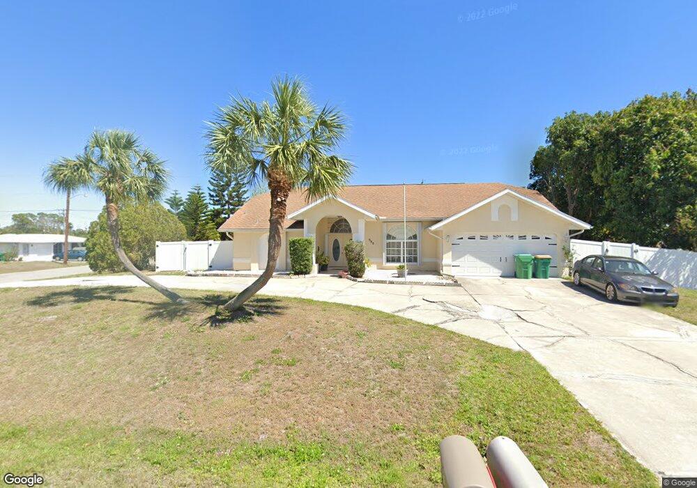
565 Beal St NW Port Charlotte, FL 33952
Estimated Value: $333,241 - $377,000
3
Beds
2
Baths
2,904
Sq Ft
$123/Sq Ft
Est. Value
About This Home
This home is located at 565 Beal St NW, Port Charlotte, FL 33952 and is currently estimated at $358,060, approximately $123 per square foot. 565 Beal St NW is a home located in Charlotte County with nearby schools including Peace River Elementary School, Murdock Middle School, and Port Charlotte High School.
Ownership History
Date
Name
Owned For
Owner Type
Purchase Details
Closed on
Aug 13, 2014
Sold by
Federal National Mortgage Association
Bought by
Virtudazo Emily
Current Estimated Value
Home Financials for this Owner
Home Financials are based on the most recent Mortgage that was taken out on this home.
Original Mortgage
$132,051
Outstanding Balance
$101,026
Interest Rate
4.2%
Mortgage Type
New Conventional
Estimated Equity
$257,034
Purchase Details
Closed on
Nov 22, 2013
Sold by
Francois Joseph and Francois Maria
Bought by
Federal National Mortgage Association
Create a Home Valuation Report for This Property
The Home Valuation Report is an in-depth analysis detailing your home's value as well as a comparison with similar homes in the area
Home Values in the Area
Average Home Value in this Area
Purchase History
| Date | Buyer | Sale Price | Title Company |
|---|---|---|---|
| Virtudazo Emily | $139,000 | Attorney | |
| Federal National Mortgage Association | $139,400 | None Available |
Source: Public Records
Mortgage History
| Date | Status | Borrower | Loan Amount |
|---|---|---|---|
| Open | Virtudazo Emily | $132,051 |
Source: Public Records
Tax History Compared to Growth
Tax History
| Year | Tax Paid | Tax Assessment Tax Assessment Total Assessment is a certain percentage of the fair market value that is determined by local assessors to be the total taxable value of land and additions on the property. | Land | Improvement |
|---|---|---|---|---|
| 2023 | $8,109 | $245,990 | $0 | $0 |
| 2022 | $7,478 | $293,690 | $14,450 | $279,240 |
| 2021 | $6,817 | $203,297 | $5,780 | $197,517 |
| 2020 | $4,655 | $209,584 | $4,930 | $204,654 |
| 2019 | $4,399 | $199,142 | $5,100 | $194,042 |
| 2018 | $4,002 | $195,835 | $5,015 | $190,820 |
| 2017 | $3,726 | $170,848 | $4,760 | $166,088 |
| 2016 | $3,492 | $145,086 | $0 | $0 |
| 2015 | $3,255 | $131,896 | $0 | $0 |
| 2014 | $2,992 | $117,059 | $0 | $0 |
Source: Public Records
Map
Nearby Homes
- 551 Crandall St NW
- 594 W Tarpon Blvd NW
- 535 Azalea Ave NW
- 370 W Tarpon Blvd NW
- 509 Orange Dr NW
- 521 W Tarpon Blvd NW
- 507 Meridan Ave NW
- 425 Azalea Ave NW
- 546 Highland Ave NW
- 468 Kellstadt St
- 503 Meridan Ave NW
- 574 Orange Dr NW
- 644 Erroll St NW
- 532 Kellstadt St NW Unit 17
- 641 Norwood St NW
- 510 Jasmine Ave NW
- 536 Lakehurst Ave NW
- 542 Lakehurst Ave NW
- 644 Blue Ln NW
- 426 Chestnut Ave NW
- 563 Beal St NW
- 598 W Tarpon Blvd NW
- 596 W Tarpon Blvd NW
- 466 Azalea Ave NW
- 559 Beal St NW
- 474 Azalea Ave NW
- 564 Beal St NW
- 482 Azalea Ave NW
- 592 W Tarpon Blvd NW
- 450 Azalea Ave NW
- 553 Beal St NW
- 371 W Tarpon Blvd NW
- 585 W Tarpon Blvd NW
- 552 Beal St NW
- 473 Orange Dr NW
- 465 Orange Dr NW
- 597 W Tarpon Blvd NW
- 563 Crandall St NW
- 481 Orange Dr NW
- 547 Beal St NW