565 Twin Oaks Ln Whitesboro, TX 76273
Estimated Value: $744,114 - $800,000
--
Bed
--
Bath
1,774
Sq Ft
$435/Sq Ft
Est. Value
About This Home
This home is located at 565 Twin Oaks Ln, Whitesboro, TX 76273 and is currently estimated at $772,057, approximately $435 per square foot. 565 Twin Oaks Ln is a home located in Grayson County with nearby schools including J.W. Hayes Primary School, Whitesboro Intermediate School, and Whitesboro Middle School.
Ownership History
Date
Name
Owned For
Owner Type
Purchase Details
Closed on
May 23, 2006
Sold by
Burton Andrew
Bought by
Gowin Randy and Gowin Kerry
Current Estimated Value
Home Financials for this Owner
Home Financials are based on the most recent Mortgage that was taken out on this home.
Original Mortgage
$141,602
Outstanding Balance
$82,851
Interest Rate
6.58%
Mortgage Type
FHA
Estimated Equity
$689,206
Create a Home Valuation Report for This Property
The Home Valuation Report is an in-depth analysis detailing your home's value as well as a comparison with similar homes in the area
Home Values in the Area
Average Home Value in this Area
Purchase History
| Date | Buyer | Sale Price | Title Company |
|---|---|---|---|
| Gowin Randy | -- | Chapin Title Co Inc |
Source: Public Records
Mortgage History
| Date | Status | Borrower | Loan Amount |
|---|---|---|---|
| Open | Gowin Randy | $141,602 |
Source: Public Records
Tax History Compared to Growth
Tax History
| Year | Tax Paid | Tax Assessment Tax Assessment Total Assessment is a certain percentage of the fair market value that is determined by local assessors to be the total taxable value of land and additions on the property. | Land | Improvement |
|---|---|---|---|---|
| 2025 | $5,044 | $415,853 | $28,540 | $387,313 |
| 2024 | $6,642 | $419,797 | $0 | $0 |
| 2023 | $487 | $104,197 | $0 | $0 |
| 2022 | $657 | $90,875 | $0 | $0 |
| 2021 | $1,444 | $89,090 | $13,252 | $75,838 |
| 2020 | $1,546 | $88,264 | $8,615 | $79,649 |
| 2019 | $1,568 | $88,992 | $9,835 | $79,157 |
| 2018 | $1,397 | $68,957 | $6,723 | $62,234 |
| 2017 | $1,330 | $64,705 | $6,775 | $57,930 |
| 2016 | $1,361 | $67,713 | $7,714 | $59,999 |
| 2015 | $829 | $58,965 | $7,458 | $51,507 |
| 2014 | $1,032 | $62,119 | $7,465 | $54,654 |
Source: Public Records
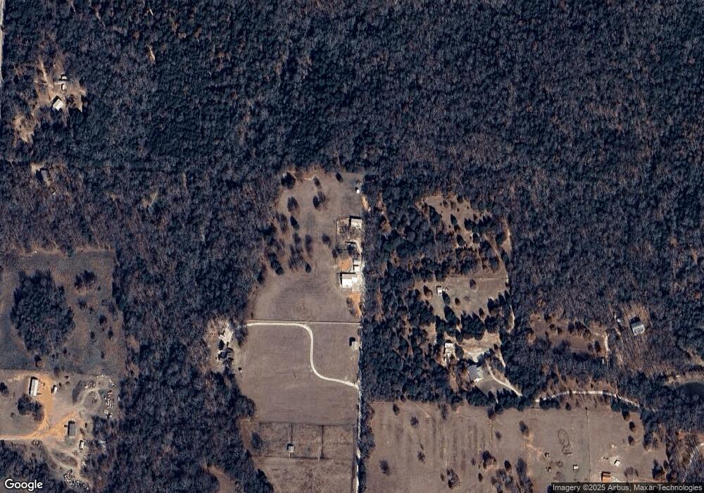
Map
Nearby Homes
- 800 Burrows Chapel Rd
- 1064 Burrows Chapel Rd
- TBD lot 30 S Oakmont Ct
- Lot 8A S Oakmont Ct
- Lot 29 S Oakmont Ct
- 489 Club House Rd
- 10 Toscana Cir
- 433 Toscana Cir
- 79 Glenmoor Ln
- 265 Toscana Cir
- 389 Roaring Fork Cir
- TBD Roaring Fork Cir
- 107 Roaring Fork Cir
- 137 Roaring Fork Cir
- Tbd Rock Creek Rd
- 27A Annadale Ln
- 3 Annadale Ln
- 13A Clubhouse Dr
- 1877 Rock Creek Rd
- Lot 1A Bear Lakes Dr
- 463 Twin Oaks Ln
- 24928 Fm 901
- 353 Twin Oaks Ln
- 1151 Burrows Chapel Rd
- 1025 Burrows Chapel Rd
- 1211 Burrows Chapel Rd
- TBD Twin Oaks Ln
- 1327 Burrows Chapel Rd
- 1247 Burrows Chapel Rd
- 0 Burrows Chapel Rd Unit 10968588
- 004 Burrows Chapel Rd
- 003 Burrows Chapel Rd
- 002 Burrows Chapel Rd
- 001 Burrows Chapel Rd
- 959 Burrows Chapel Rd
- 77 Twin Oaks Ln
- 25407 Fm 901
- 1508 Burrows Chapel Rd
- 591 Burrows Chapel Rd
- 803 Burrows Chapel Rd