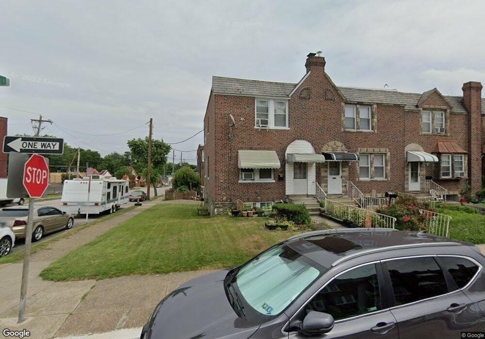
5653 Ormes St Philadelphia, PA 19120
Olney NeighborhoodEstimated Value: $201,911 - $226,000
3
Beds
1
Bath
1,224
Sq Ft
$173/Sq Ft
Est. Value
About This Home
This home is located at 5653 Ormes St, Philadelphia, PA 19120 and is currently estimated at $212,228, approximately $173 per square foot. 5653 Ormes St is a home located in Philadelphia County with nearby schools including James R. Lowell Elementary School, Grover Washington Middle School, and Samuel Fels High School.
Ownership History
Date
Name
Owned For
Owner Type
Purchase Details
Closed on
Apr 24, 2003
Sold by
Medina Edwin and Medina Rosa A
Bought by
Somchith Douglas Vu and Somchith Douglas
Current Estimated Value
Home Financials for this Owner
Home Financials are based on the most recent Mortgage that was taken out on this home.
Original Mortgage
$69,800
Outstanding Balance
$30,184
Interest Rate
5.84%
Mortgage Type
Purchase Money Mortgage
Estimated Equity
$182,044
Create a Home Valuation Report for This Property
The Home Valuation Report is an in-depth analysis detailing your home's value as well as a comparison with similar homes in the area
Home Values in the Area
Average Home Value in this Area
Purchase History
| Date | Buyer | Sale Price | Title Company |
|---|---|---|---|
| Somchith Douglas Vu | $72,000 | United General Title Ins Co |
Source: Public Records
Mortgage History
| Date | Status | Borrower | Loan Amount |
|---|---|---|---|
| Open | Somchith Douglas Vu | $69,800 |
Source: Public Records
Tax History Compared to Growth
Tax History
| Year | Tax Paid | Tax Assessment Tax Assessment Total Assessment is a certain percentage of the fair market value that is determined by local assessors to be the total taxable value of land and additions on the property. | Land | Improvement |
|---|---|---|---|---|
| 2025 | $1,907 | $187,600 | $37,520 | $150,080 |
| 2024 | $1,907 | $187,600 | $37,520 | $150,080 |
| 2023 | $1,907 | $136,200 | $27,240 | $108,960 |
| 2022 | $893 | $91,200 | $27,240 | $63,960 |
| 2021 | $1,523 | $0 | $0 | $0 |
| 2020 | $1,523 | $0 | $0 | $0 |
| 2019 | $1,415 | $0 | $0 | $0 |
| 2018 | $1,526 | $0 | $0 | $0 |
| 2017 | $1,526 | $0 | $0 | $0 |
| 2016 | $1,106 | $0 | $0 | $0 |
| 2015 | $1,059 | $0 | $0 | $0 |
| 2014 | -- | $109,000 | $12,133 | $96,867 |
| 2012 | -- | $13,696 | $1,753 | $11,943 |
Source: Public Records
Map
Nearby Homes
- 5600 Arbor St
- 5539 B St
- 318 E Gale St
- 5516 Westford Rd
- 316 R E Clarkson Ave Unit 4
- 5441 Westford Rd
- 5815 N Front St
- 5834 N Hope St
- 5413 N Front St
- 565 E Tabor Rd
- 136 W Clarkson Ave
- 220 E Tabor Rd
- 5832 N Mascher St
- 5212 D St
- 5531 N 2nd St
- 164 W Clarkson Ave
- 6001 N Mascher St
- 5511 N 2nd St
- 678 Adams Ave
- 217 Furley St
- 5651 Ormes St
- 5649 Ormes St
- 5647 Ormes St
- 5650 Rosehill St
- 5645 Ormes St
- 5648 Rosehill St
- 5646 Rosehill St
- 5643 Ormes St
- 5644 Rosehill St
- 5641 Ormes St
- 5642 Rosehill St
- 5652 Ormes St
- 5650 Ormes St
- 5648 Ormes St
- 5640 Rosehill St
- 5639 Ormes St
- 5646 Ormes St
- 5644 Ormes St
- 5637 Ormes St
- 5638 Rosehill St