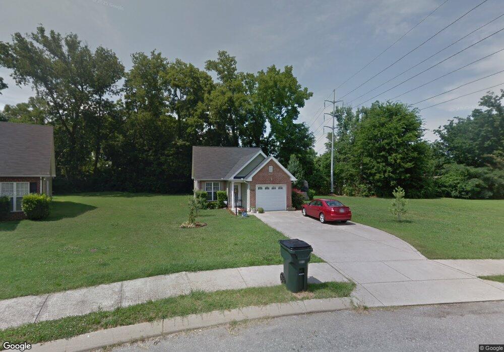
566 Albion Cir Gallatin, TN 37066
Estimated Value: $253,962 - $302,000
--
Bed
2
Baths
1,084
Sq Ft
$259/Sq Ft
Est. Value
About This Home
This home is located at 566 Albion Cir, Gallatin, TN 37066 and is currently estimated at $280,491, approximately $258 per square foot. 566 Albion Cir is a home located in Sumner County with nearby schools including Vena Stuart Elementary School, Rucker Stewart Middle School, and Gallatin Senior High School.
Ownership History
Date
Name
Owned For
Owner Type
Purchase Details
Closed on
Jun 15, 2006
Sold by
Steve Martin Homes Llc
Bought by
Sanders Mark and Sanders Katrina
Current Estimated Value
Home Financials for this Owner
Home Financials are based on the most recent Mortgage that was taken out on this home.
Original Mortgage
$124,000
Outstanding Balance
$72,575
Interest Rate
6.49%
Mortgage Type
Purchase Money Mortgage
Estimated Equity
$207,916
Create a Home Valuation Report for This Property
The Home Valuation Report is an in-depth analysis detailing your home's value as well as a comparison with similar homes in the area
Home Values in the Area
Average Home Value in this Area
Purchase History
| Date | Buyer | Sale Price | Title Company |
|---|---|---|---|
| Sanders Mark | $124,000 | None Available |
Source: Public Records
Mortgage History
| Date | Status | Borrower | Loan Amount |
|---|---|---|---|
| Open | Sanders Mark | $124,000 |
Source: Public Records
Tax History Compared to Growth
Tax History
| Year | Tax Paid | Tax Assessment Tax Assessment Total Assessment is a certain percentage of the fair market value that is determined by local assessors to be the total taxable value of land and additions on the property. | Land | Improvement |
|---|---|---|---|---|
| 2024 | $952 | $67,000 | $21,250 | $45,750 |
| 2023 | $1,315 | $43,075 | $14,550 | $28,525 |
| 2022 | $974 | $43,075 | $14,550 | $28,525 |
| 2021 | $1,319 | $43,075 | $14,550 | $28,525 |
| 2020 | $1,319 | $43,075 | $14,550 | $28,525 |
| 2019 | $1,319 | $0 | $0 | $0 |
| 2018 | $1,082 | $0 | $0 | $0 |
| 2017 | $1,082 | $0 | $0 | $0 |
| 2016 | $775 | $0 | $0 | $0 |
| 2015 | $1,082 | $0 | $0 | $0 |
| 2014 | $1,012 | $0 | $0 | $0 |
Source: Public Records
Map
Nearby Homes
- 741 S Westland Ave
- 341 E Park Ave
- 2058 Everest Dr
- 1008 Bales St
- 435 Richland Cir
- 119 Coles Ferry Rd
- 128 Morningside Dr
- 209 E Winchester St
- 190 W Hite St
- 124 Glenn Ave
- 126 Glenn Ave
- 0 Winchester St W Unit RTC3034692
- 211 Juanita Ave
- 216 Daleview Ave
- 200 Malvin St
- 212 S Boyers Ave
- 212 Mark Cir
- 403 W Hite St
- 420 E Main St
- 860 Rogers Rd