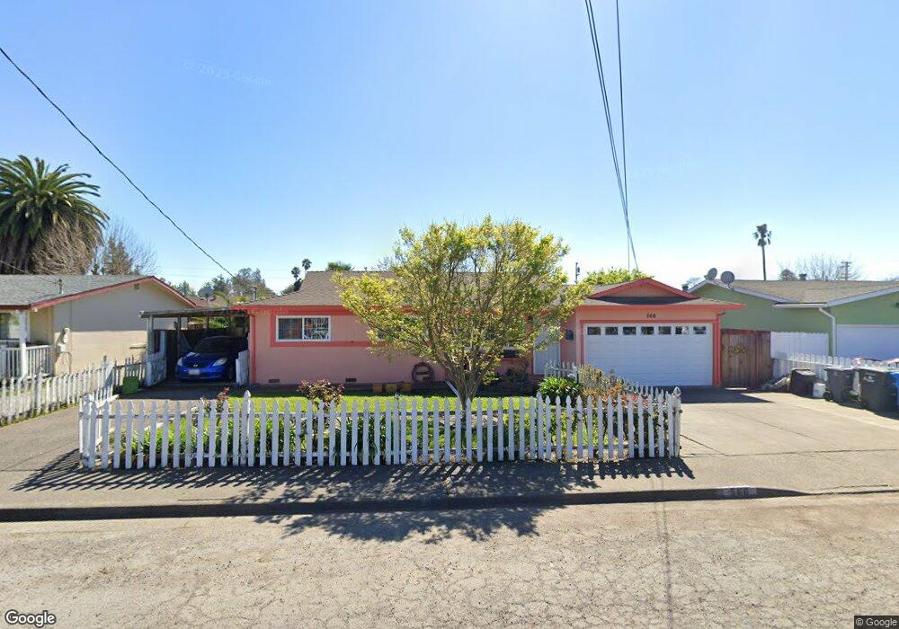
566 Ashwood Dr Santa Rosa, CA 95407
Estimated Value: $469,000 - $570,000
3
Beds
1
Bath
1,015
Sq Ft
$513/Sq Ft
Est. Value
About This Home
This home is located at 566 Ashwood Dr, Santa Rosa, CA 95407 and is currently estimated at $520,332, approximately $512 per square foot. 566 Ashwood Dr is a home located in Sonoma County with nearby schools including Elsie Allen High School.
Ownership History
Date
Name
Owned For
Owner Type
Purchase Details
Closed on
Jul 9, 2010
Sold by
Dry Creek Rancheria Of Pomo Of Californi
Bought by
Andino Yolanda
Current Estimated Value
Purchase Details
Closed on
Jun 14, 1993
Sold by
Holtzinger Dennis C and Holtzinger Dennis C
Bought by
Guzman Raul and Guzman Onoria
Home Financials for this Owner
Home Financials are based on the most recent Mortgage that was taken out on this home.
Original Mortgage
$136,092
Interest Rate
7.51%
Mortgage Type
FHA
Create a Home Valuation Report for This Property
The Home Valuation Report is an in-depth analysis detailing your home's value as well as a comparison with similar homes in the area
Home Values in the Area
Average Home Value in this Area
Purchase History
| Date | Buyer | Sale Price | Title Company |
|---|---|---|---|
| Andino Yolanda | -- | Fidelity National Title Co | |
| Guzman Raul | $138,000 | Old Republic Title Company |
Source: Public Records
Mortgage History
| Date | Status | Borrower | Loan Amount |
|---|---|---|---|
| Previous Owner | Guzman Raul | $136,092 |
Source: Public Records
Tax History Compared to Growth
Tax History
| Year | Tax Paid | Tax Assessment Tax Assessment Total Assessment is a certain percentage of the fair market value that is determined by local assessors to be the total taxable value of land and additions on the property. | Land | Improvement |
|---|---|---|---|---|
| 2025 | $3,871 | $234,887 | $110,634 | $124,253 |
| 2024 | $3,871 | $230,282 | $108,465 | $121,817 |
| 2023 | $3,871 | $225,768 | $106,339 | $119,429 |
| 2022 | $3,669 | $221,342 | $104,254 | $117,088 |
| 2021 | $3,631 | $217,003 | $102,210 | $114,793 |
| 2020 | $3,418 | $214,778 | $101,162 | $113,616 |
| 2019 | $3,368 | $210,568 | $99,179 | $111,389 |
| 2018 | $3,486 | $206,440 | $97,235 | $109,205 |
| 2017 | $3,372 | $202,393 | $95,329 | $107,064 |
| 2016 | $3,304 | $198,425 | $93,460 | $104,965 |
| 2015 | -- | $195,446 | $92,057 | $103,389 |
| 2014 | -- | $191,618 | $90,254 | $101,364 |
Source: Public Records
Map
Nearby Homes
- 444 Pueblo Bonito Place
- 1911 Corby Ave
- 2154 Corby Ave
- 487 Hearn Ave
- 1630 Mathwig Dr
- 1447 Beachwood Dr
- 101 Colgan Ave Unit 25
- 101 Colgan Ave Unit 24
- 101 Colgan Ave Unit 2
- 2323 Calico Ln
- 1245 Olive St
- 0 West Ave Unit 325019616
- 2721 Victoria Dr
- 1260 Aloise Ave
- 2727 Victoria Dr
- 2302 Squire Ln Unit 40
- 1501 La Esplanada Place Unit 326
- 225 Burt St Unit 34
- 780 Dutton Ave
- 816 Boyd St Unit 4
- 584 Ashwood Dr
- 530 Ashwood Dr
- 579 Smokewood Dr
- 583 Smokewood Dr
- 545 Smokewood Dr
- 512 Ashwood Dr
- 590 Ashwood Dr
- 511 Smokewood Dr
- 541 Ashwood Dr
- 589 Smokewood Dr
- 585 Ashwood Dr
- 523 Ashwood Dr
- 484 Ashwood Dr
- 591 Ashwood Dr
- 447 Smokewood Dr
- 495 Ashwood Dr
- 578 Smokewood Dr
- 582 Smokewood Dr
- 564 Smokewood Dr