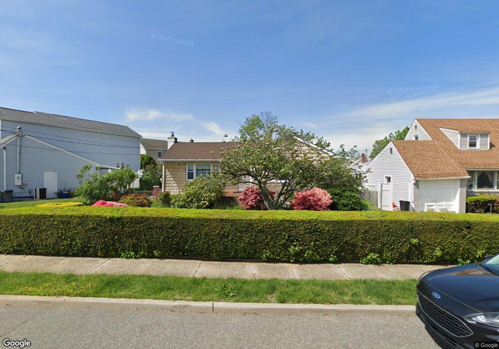
566 Roy St West Hempstead, NY 11552
Estimated Value: $690,830 - $722,000
--
Bed
2
Baths
1,180
Sq Ft
$599/Sq Ft
Est. Value
About This Home
This home is located at 566 Roy St, West Hempstead, NY 11552 and is currently estimated at $706,415, approximately $598 per square foot. 566 Roy St is a home located in Nassau County with nearby schools including Hebrew Academy of Nassau County (HANC).
Ownership History
Date
Name
Owned For
Owner Type
Purchase Details
Closed on
Apr 8, 2025
Sold by
Scheck Sieglinde E and Sieglinde Scheck Living Trust
Bought by
Scheck Sieglinde and Scheck Alexandra
Current Estimated Value
Purchase Details
Closed on
Mar 9, 2007
Sold by
Scheck Sieglinde
Purchase Details
Closed on
Jun 2, 2005
Sold by
Scheck Sieglinde
Purchase Details
Closed on
Dec 15, 2003
Sold by
Scheck Sieglinde
Create a Home Valuation Report for This Property
The Home Valuation Report is an in-depth analysis detailing your home's value as well as a comparison with similar homes in the area
Home Values in the Area
Average Home Value in this Area
Purchase History
| Date | Buyer | Sale Price | Title Company |
|---|---|---|---|
| Scheck Sieglinde | -- | Commonwealth Land Ttl Ins Co | |
| -- | -- | -- | |
| -- | -- | -- | |
| -- | -- | -- | |
| -- | -- | -- | |
| -- | -- | -- | |
| -- | -- | -- | |
| -- | -- | -- |
Source: Public Records
Tax History Compared to Growth
Tax History
| Year | Tax Paid | Tax Assessment Tax Assessment Total Assessment is a certain percentage of the fair market value that is determined by local assessors to be the total taxable value of land and additions on the property. | Land | Improvement |
|---|---|---|---|---|
| 2025 | $4,772 | $461 | $252 | $209 |
| 2024 | $3,301 | $457 | $250 | $207 |
| 2023 | $3,944 | $494 | $269 | $225 |
| 2022 | $3,944 | $478 | $261 | $217 |
| 2021 | $3,117 | $501 | $244 | $257 |
| 2020 | $1,577 | $604 | $515 | $89 |
| 2019 | $3,632 | $647 | $518 | $129 |
| 2018 | $3,625 | $690 | $0 | $0 |
| 2017 | $1,617 | $926 | $552 | $374 |
| 2016 | $5,539 | $926 | $552 | $374 |
| 2015 | $3,512 | $926 | $552 | $374 |
| 2014 | $3,512 | $926 | $552 | $374 |
| 2013 | $3,271 | $926 | $552 | $374 |
Source: Public Records
Map
Nearby Homes
- 198 Guildford Ct
- 231 Dogwood Ave
- 594 Fenworth Blvd
- 279 Semton Blvd
- 474 Roy St
- 149 Rule St
- 19 Richard St
- 303 Nassau Blvd
- 126 Oakland Ave
- 350 Paul Place
- 576 Western Park Dr
- 249 Grange St
- 56 Fendale St
- 537 Madison Ave
- 676 Sobo Ave
- 144 Rintin St
- 190 Commonwealth St
- 590 Langley Ave
- 613 Adams Ave
- 72 Spruce St