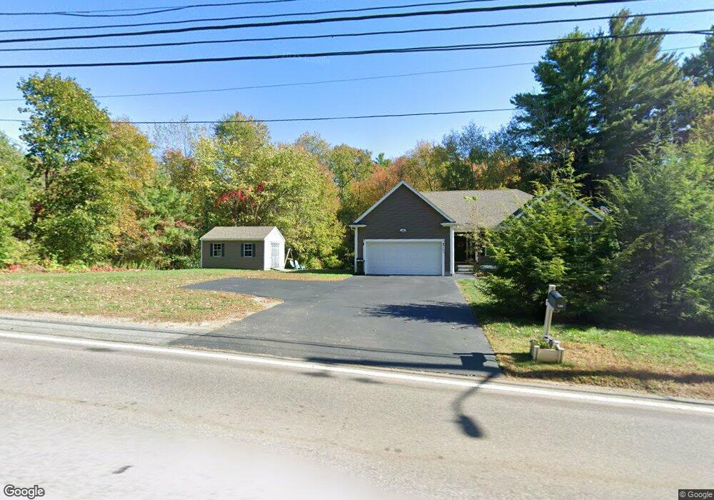
568 Dedham St Wrentham, MA 02093
Estimated Value: $371,000 - $507,000
2
Beds
2
Baths
1,100
Sq Ft
$373/Sq Ft
Est. Value
About This Home
This home is located at 568 Dedham St, Wrentham, MA 02093 and is currently estimated at $410,602, approximately $373 per square foot. 568 Dedham St is a home located in Norfolk County with nearby schools including Delaney Elementary School and Charles E Roderick.
Ownership History
Date
Name
Owned For
Owner Type
Purchase Details
Closed on
May 5, 2010
Sold by
Mikalauskas Joan
Bought by
Jacob Christopher S
Current Estimated Value
Home Financials for this Owner
Home Financials are based on the most recent Mortgage that was taken out on this home.
Original Mortgage
$75,000
Interest Rate
5.03%
Mortgage Type
Purchase Money Mortgage
Purchase Details
Closed on
Dec 12, 1996
Sold by
Mickiewicz Stanley P
Bought by
Mikalauskas Joan
Home Financials for this Owner
Home Financials are based on the most recent Mortgage that was taken out on this home.
Original Mortgage
$83,500
Interest Rate
7.75%
Mortgage Type
Purchase Money Mortgage
Create a Home Valuation Report for This Property
The Home Valuation Report is an in-depth analysis detailing your home's value as well as a comparison with similar homes in the area
Home Values in the Area
Average Home Value in this Area
Purchase History
| Date | Buyer | Sale Price | Title Company |
|---|---|---|---|
| Jacob Christopher S | $194,600 | -- | |
| Mikalauskas Joan | $98,500 | -- |
Source: Public Records
Mortgage History
| Date | Status | Borrower | Loan Amount |
|---|---|---|---|
| Open | Mikalauskas Joan | $100,000 | |
| Closed | Jacob Christopher S | $75,000 | |
| Previous Owner | Mikalauskas Joan | $110,200 | |
| Previous Owner | Mikalauskas Joan | $17,000 | |
| Previous Owner | Mikalauskas Joan | $83,500 |
Source: Public Records
Tax History Compared to Growth
Tax History
| Year | Tax Paid | Tax Assessment Tax Assessment Total Assessment is a certain percentage of the fair market value that is determined by local assessors to be the total taxable value of land and additions on the property. | Land | Improvement |
|---|---|---|---|---|
| 2025 | $3,620 | $312,300 | $0 | $312,300 |
| 2024 | $3,074 | $256,200 | $0 | $256,200 |
| 2023 | $3,182 | $252,100 | $0 | $252,100 |
| 2022 | $3,010 | $220,200 | $0 | $220,200 |
| 2021 | $2,875 | $204,300 | $0 | $204,300 |
| 2020 | $2,726 | $191,300 | $0 | $191,300 |
| 2019 | $2,501 | $177,100 | $0 | $177,100 |
| 2018 | $2,503 | $175,800 | $0 | $175,800 |
| 2017 | $2,551 | $179,000 | $0 | $179,000 |
| 2016 | $2,625 | $183,800 | $0 | $183,800 |
| 2015 | $2,650 | $176,900 | $0 | $176,900 |
| 2014 | $2,708 | $176,900 | $0 | $176,900 |
Source: Public Records
Map
Nearby Homes
- 270 Dedham St
- 1 Lorraine Metcalf Dr
- 25 Foxboro Rd
- 10 W Birch Rd
- 0 W Birch Rd
- 71 Pond St
- 7 Hill St Unit 10
- 3 Oak Rd
- 362 East St
- 131 Washington St Unit 42
- 65 Pond St
- 246 Forest Grove Ave
- 155 Clark Rd Unit 155
- 10 Nature View Dr
- 15 Nature View Dr
- 11 Goodwin Dr
- 2 Diamond St
- 45 King St
- 3 Sparrow Rd
- 3 Pheasanthill Rd
- 570 Dedham St
- 572 Dedham St
- 578 Dedham St
- 576 Dedham St
- 574 Dedham St
- 560 Dedham St
- 562 Dedham St Unit 562
- 584 Dedham St
- 582 Dedham St
- 580 Dedham St
- 550 Dedham St
- 550 Dedham St Unit 1
- 566 Dedham St
- 590 Dedham St
- 588 Dedham St
- 586 Dedham St
- 588 Dedham St Unit 588
- 586 Dedham St Unit 586
- 588 Dedham St Unit 596,1
- 546 Dedham St