5689 Lesourdsville West Chester Rd Liberty Township, OH 45011
Estimated Value: $698,000 - $777,569
3
Beds
2
Baths
2,962
Sq Ft
$255/Sq Ft
Est. Value
About This Home
This home is located at 5689 Lesourdsville West Chester Rd, Liberty Township, OH 45011 and is currently estimated at $754,392, approximately $254 per square foot. 5689 Lesourdsville West Chester Rd is a home located in Butler County with nearby schools including Cherokee Elementary School, Heritage Early Childhood School, and Lakota Plains Junior School.
Ownership History
Date
Name
Owned For
Owner Type
Purchase Details
Closed on
Aug 15, 2016
Sold by
Fultz Terry William
Bought by
Will Mark R
Current Estimated Value
Home Financials for this Owner
Home Financials are based on the most recent Mortgage that was taken out on this home.
Original Mortgage
$117,600
Outstanding Balance
$93,649
Interest Rate
3.42%
Mortgage Type
Credit Line Revolving
Estimated Equity
$660,743
Purchase Details
Closed on
Jul 30, 2014
Sold by
Fultz Terry William
Bought by
Fultz Terry William and Terry Williams Fultz Trust
Purchase Details
Closed on
Nov 8, 1999
Sold by
Coffman Robbin K
Bought by
Fultz Terry W and Fultz Betty A
Purchase Details
Closed on
Feb 7, 1996
Sold by
Garver Gregory R
Bought by
Coffman Chris and Coffman Robbin K
Purchase Details
Closed on
May 1, 1992
Create a Home Valuation Report for This Property
The Home Valuation Report is an in-depth analysis detailing your home's value as well as a comparison with similar homes in the area
Home Values in the Area
Average Home Value in this Area
Purchase History
| Date | Buyer | Sale Price | Title Company |
|---|---|---|---|
| Will Mark R | $588,000 | Title 1St Llc | |
| Fultz Terry William | -- | None Available | |
| Fultz Terry W | $130,000 | First Title Ins Agency Inc | |
| Coffman Chris | $73,500 | -- | |
| -- | $64,900 | -- |
Source: Public Records
Mortgage History
| Date | Status | Borrower | Loan Amount |
|---|---|---|---|
| Open | Will Mark R | $117,600 | |
| Open | Will Mark R | $411,600 |
Source: Public Records
Tax History Compared to Growth
Tax History
| Year | Tax Paid | Tax Assessment Tax Assessment Total Assessment is a certain percentage of the fair market value that is determined by local assessors to be the total taxable value of land and additions on the property. | Land | Improvement |
|---|---|---|---|---|
| 2024 | $8,741 | $224,520 | $22,380 | $202,140 |
| 2023 | $8,633 | $224,520 | $22,380 | $202,140 |
| 2022 | $8,010 | $163,140 | $22,380 | $140,760 |
| 2021 | $7,967 | $163,140 | $22,380 | $140,760 |
| 2020 | $8,175 | $163,140 | $22,380 | $140,760 |
| 2019 | $13,557 | $140,730 | $22,380 | $118,350 |
| 2018 | $7,880 | $140,730 | $22,380 | $118,350 |
| 2017 | $8,032 | $140,730 | $22,380 | $118,350 |
| 2016 | $6,696 | $125,340 | $22,380 | $102,960 |
| 2015 | $6,721 | $125,340 | $22,380 | $102,960 |
| 2014 | $5,783 | $125,340 | $22,380 | $102,960 |
| 2013 | $5,783 | $106,010 | $20,980 | $85,030 |
Source: Public Records
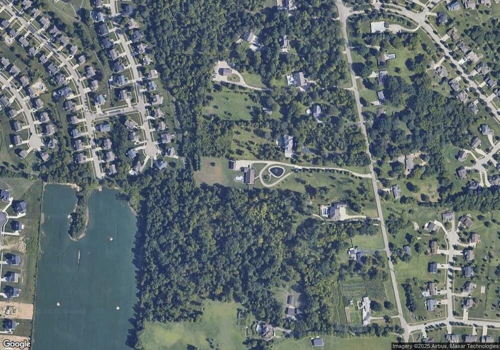
Map
Nearby Homes
- 5618 Rachels View
- 5238 Brougham Ln
- 5276 Brougham Ln
- 5396 Brougham Ln
- 5145 Brougham Ln
- 5100 Brougham Ln
- 5609 Selu Dr
- 5875 Tilbury Trail
- 5627 Eagle Dance Dr
- 5406 Sugar Maple Run
- 4360 Watoga Dr
- 5200 Poets Way
- 5825 Carriage Meadows Dr
- 5109 Mason Point
- 5900 Carriage Meadows Dr
- 5259 Aspen Valley Dr
- Sanibel Plan at Carriage Meadows
- Carlisle Plan at Carriage Meadows
- Chattanooga Plan at Carriage Meadows
- Rockford Plan at Carriage Meadows
- 5661 Lesourdsville West Chester Rd
- 5742 Woodmansee Way
- 5752 Woodmansee Way
- 5732 Woodmansee Way
- 5633 Lesourdsville West Chester Rd
- 5769 Lesourdsville West Chester Rd
- 5722 Woodmansee Way
- 5611 Lesourdsville West Chester Rd
- 5712 Woodmansee Way
- 5743 Woodmansee Way
- 5733 Woodmansee Way
- 5702 Woodmansee Way
- 5723 Woodmansee Way
- 5692 Woodmansee Way
- 5715 Woodmansee Way
- 5756 Sugar Maple Run
- 5789 Lesourdsville West Chester Rd
- 5359 Brougham Ln
- 5746 Sugar Maple Run
- 5601 Lesourdsville West Chester Rd