569 Inner Cir The Villages, FL 32162
Village of Amelia NeighborhoodEstimated Value: $524,000 - $955,000
--
Bed
--
Bath
2,040
Sq Ft
$385/Sq Ft
Est. Value
About This Home
This home is located at 569 Inner Cir, The Villages, FL 32162 and is currently estimated at $785,228, approximately $384 per square foot. 569 Inner Cir is a home located in Sumter County with nearby schools including Wildwood Elementary School and Wildwood Middle/High School.
Ownership History
Date
Name
Owned For
Owner Type
Purchase Details
Closed on
Jun 24, 2020
Sold by
Jeruzal Joseph A and Jeruzal Sue Ellen
Bought by
Turner Ray A and Turner Carol A
Current Estimated Value
Home Financials for this Owner
Home Financials are based on the most recent Mortgage that was taken out on this home.
Original Mortgage
$400,000
Outstanding Balance
$353,902
Interest Rate
3.1%
Mortgage Type
New Conventional
Estimated Equity
$431,326
Purchase Details
Closed on
Dec 4, 2017
Sold by
Digennaro Anthony P and Winters Yvonne T
Bought by
Scott John R and Scott Freida S
Home Financials for this Owner
Home Financials are based on the most recent Mortgage that was taken out on this home.
Original Mortgage
$465,000
Interest Rate
3.94%
Mortgage Type
New Conventional
Create a Home Valuation Report for This Property
The Home Valuation Report is an in-depth analysis detailing your home's value as well as a comparison with similar homes in the area
Home Values in the Area
Average Home Value in this Area
Purchase History
| Date | Buyer | Sale Price | Title Company |
|---|---|---|---|
| Turner Ray A | $715,000 | Peninsula Land & Title | |
| Scott John R | $463,500 | Peninsula Land & Title |
Source: Public Records
Mortgage History
| Date | Status | Borrower | Loan Amount |
|---|---|---|---|
| Open | Turner Ray A | $400,000 | |
| Previous Owner | Scott John R | $465,000 |
Source: Public Records
Tax History Compared to Growth
Tax History
| Year | Tax Paid | Tax Assessment Tax Assessment Total Assessment is a certain percentage of the fair market value that is determined by local assessors to be the total taxable value of land and additions on the property. | Land | Improvement |
|---|---|---|---|---|
| 2024 | $6,412 | $472,500 | -- | -- |
| 2023 | $6,412 | $458,740 | $0 | $0 |
| 2022 | $6,273 | $445,380 | $0 | $0 |
| 2021 | $6,593 | $432,410 | $0 | $0 |
| 2020 | $7,523 | $492,960 | $135,530 | $357,430 |
| 2019 | $7,719 | $456,590 | $130,380 | $326,210 |
| 2018 | $5,748 | $368,870 | $0 | $0 |
| 2017 | $5,792 | $361,290 | $0 | $0 |
| 2016 | $5,808 | $353,860 | $0 | $0 |
| 2015 | $5,844 | $351,400 | $0 | $0 |
| 2014 | $5,957 | $348,620 | $0 | $0 |
Source: Public Records
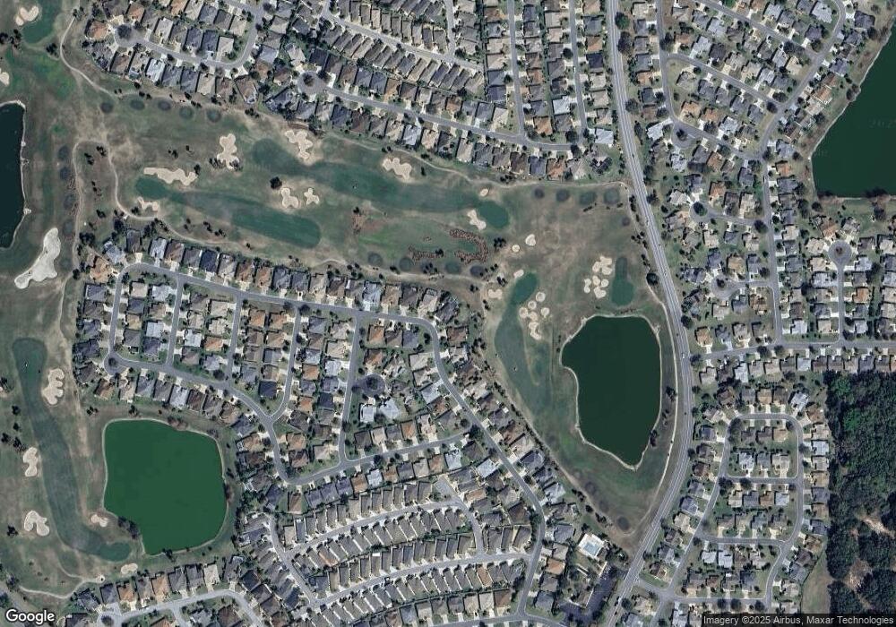
Map
Nearby Homes
- 594 Lacy Place
- 471 Gaskin Ln
- 552 Audrey Ln
- 1731 Mount Carmel Terrace
- 611 Allenwood Loop
- 1675 Westminster Ct
- 2020 Harston Trail
- 1723 Banberry Run
- 1634 Moncks Corner
- 1637 Mount Croghan Trail
- 2074 Harston Trail
- 1606 Snelling Ave
- 2076 Harston Trail
- 2196 Kerwood Loop
- 1884 Poppy Cir
- 1550 Ward Ct
- 1542 Wyatt Ave
- 2086 Ridge Spring Dr
- 1722 Bugle Terrace
- 2167 Kerwood Loop