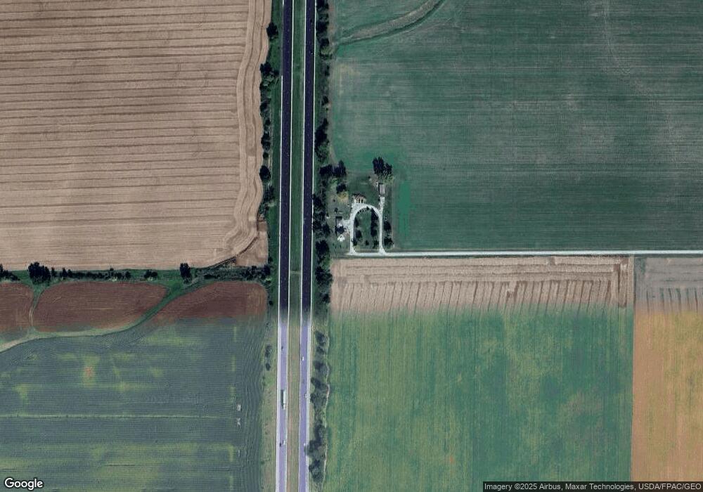
569 Knox Road 2075 N Wataga, IL 61488
Estimated Value: $121,000 - $187,000
1
Bed
--
Bath
1,128
Sq Ft
$133/Sq Ft
Est. Value
About This Home
This home is located at 569 Knox Road 2075 N, Wataga, IL 61488 and is currently estimated at $150,236, approximately $133 per square foot. 569 Knox Road 2075 N is a home located in Knox County with nearby schools including Silas Willard Elementary School, Gale School, and Lombard Middle School.
Ownership History
Date
Name
Owned For
Owner Type
Purchase Details
Closed on
Mar 24, 2022
Sold by
Patch Deborah J and Patch Jack D
Bought by
Nash Bryan
Current Estimated Value
Home Financials for this Owner
Home Financials are based on the most recent Mortgage that was taken out on this home.
Original Mortgage
$139,592
Outstanding Balance
$130,487
Interest Rate
4.12%
Mortgage Type
Construction
Estimated Equity
$19,749
Create a Home Valuation Report for This Property
The Home Valuation Report is an in-depth analysis detailing your home's value as well as a comparison with similar homes in the area
Home Values in the Area
Average Home Value in this Area
Purchase History
| Date | Buyer | Sale Price | Title Company |
|---|---|---|---|
| Nash Bryan | $150,000 | Western Illinois Title |
Source: Public Records
Mortgage History
| Date | Status | Borrower | Loan Amount |
|---|---|---|---|
| Open | Nash Bryan | $139,592 |
Source: Public Records
Tax History Compared to Growth
Tax History
| Year | Tax Paid | Tax Assessment Tax Assessment Total Assessment is a certain percentage of the fair market value that is determined by local assessors to be the total taxable value of land and additions on the property. | Land | Improvement |
|---|---|---|---|---|
| 2024 | $2,049 | $33,010 | $5,440 | $27,570 |
| 2023 | $2,049 | $30,930 | $5,100 | $25,830 |
| 2022 | $1,599 | $26,370 | $4,600 | $21,770 |
| 2021 | $1,464 | $24,420 | $4,260 | $20,160 |
| 2020 | $1,379 | $22,820 | $3,980 | $18,840 |
| 2019 | $1,391 | $22,820 | $3,980 | $18,840 |
| 2018 | $1,402 | $23,050 | $4,020 | $19,030 |
| 2017 | $1,420 | $23,050 | $4,020 | $19,030 |
| 2015 | -- | $22,600 | $3,940 | $18,660 |
| 2013 | $958 | $24,270 | $4,230 | $20,040 |
Source: Public Records
Map
Nearby Homes
- 593 Knox Road 2000 N
- 218 Mcmurtry Dr
- 207 S State St
- 2260 Knox Road 600 E
- 126 N Depot St
- 2819 Montague Dr
- Lot 11 Marmac Dr
- Lot 4 Marmac Dr
- Lot 3 & 4 Lincoln Park Dr
- 237 N Union St
- 2851 Parkway Ct
- 500 E Victoria St
- 1347 Garden Ln
- 1485 Arcadia Dr
- 1223 Arcadia Dr
- 241 Circle Dr
- 227 Circle Dr
- 4 Hampton Ct
- 1508 Moshier Ave
- 345 Park Lane Dr
- 517 Knox Road 2075 N
- 566 Knox Highway 37
- 2107 Knox Road 600 E
- 496 Knox Road 2075 N
- 482 Knox Road 2075 N
- 428 Knox Highway 37
- 442 Knox Highway 37
- 422 Knox Highway 37
- 404 Knox Highway 37
- 212 E Franklin St
- 2160 Knox Road 200 E
- 287 Knox Highway 37
- 283 Knox Highway 37
- 295 Knox Highway 37
- 277 Knox Highway 37
- 271 Knox Highway 37
- 2184 Knox Road 200 E
- 287 Knox Highway 37
- 287 Knox Hwy 37
- 493 Knox Highway 37
